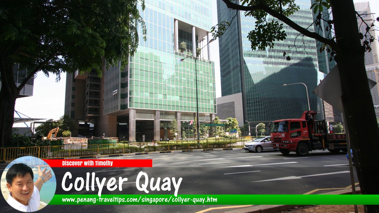
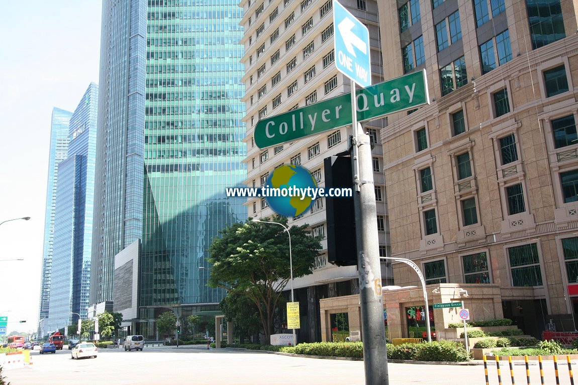
 Collyer Quay, Singapore (11 September, 2010)
Collyer Quay is a major road in the Downtown Core of Singapore. It connects Fullerton Road on the north side to Raffles Quay and Cecil Street to the south. Until the beginning of the new millennium, Collyer Quay faced directly the sea. Today however, land reclamation has pushed the shoreline outwards, creating the Marina Bay Financial Centre, also called the New Downtown of Singapore.
Collyer Quay was named after a sea wall that used to run from Fort Fullerton, where The Fullerton Hotel is now located, to the Telok Ayer Market, now called the Lau Pa Sat. That sea wall was in turn named after the chief engineer who built it in 1862, Captain George Chancellor Collyer.
In the old days, there wasn't a road called Collyer Quay. Instead the quay area was lined with warehouses linked by a common verandah. As a result, the Hokkiens called the area Tho3khor3 Au33 土庫後
 , meaning "behind the warehouses". Another name that they gave to the area was Ang3 Teng3 Lor33 紅燈路
  , meaning "red lantern road", in reference to the red lamps at Johnston's Pier (now renovated and known as Clifford Pier).
Map of Collyer Quay, Singapore
Sights along Collyer Quay
- Tung Centre (GPS: 1.28475, 103.85271)

- Clifford Centre (GPS: 1.28373, 103.8524)

- Clifford Pier (GPS: 1.28398, 103.85363)

- HSBC Building (GPS: 1.28513, 103.85278)

- Income @ Raffles (GPS: 1.28423, 103.8525)

- One Marina Boulevard (GPS: 1.2824, 103.85252)

- Ocean Financial Centre (GPS: 1.2831, 103.85208)

- OUE Bayfront (GPS: .28286, 103.85292)

- OUE Tower & Link (GPS: 1.28372, 103.85286)

- The Arcade (GPS: 1.28351, 103.85233)

- The Quadrant At Cecil (GPS: 1.28245, 103.85052)

Taking the MRT to Collyer Quay
Take the North-South Line or the East-West Line of the Singapore MRT to the Raffles Place MRT Station. Collyer Quay road sign (11 September, 2010)
List of the Streets in Singapore; Discover Singapore
 Copyright © 2003-2025 Timothy Tye. All Rights Reserved.
Copyright © 2003-2025 Timothy Tye. All Rights Reserved.

 Go Back