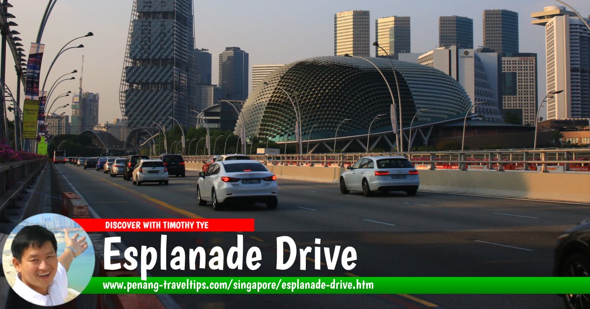
 Esplanade Drive, Singapore (28 July 2017)
Esplanade Drive is a coastal road in downtown Singapore. It connects Nicoll Highway in the north to Fullerton Road in the south across the Esplanade Bridge. The drive refers to the Esplanade - Theatres on the Bay, presently the piece of land to the north of Marina Bay.
The term Esplanade has been used at different times to mean a different part in the vicinity of Esplanade Drive. In the mid 19th century, it referred to the area that is presently known as the Padang. Then, after land reclamation extended the coastline, the Esplanade was the site of the present Queen Elizabeth Walk. Another round of land reclamation in the 1980s and 90s created the present coastline.
Map of Esplanade Drive, Singapore
Sights along Esplanade Drive
- Esplanade Bridge (GPS: 1.28812, 103.85414)

- Esplanade Park (GPS: 1.29016, 103.85396)

- Esplanade - Theatres on the Bay (GPS: 1.29016, 103.85396)

- Jubilee Bridge (GPS: 1.28773, 103.85434)

- Merlion (GPS: 1.28685, 103.85453)

- One Fullerton (GPS: 1.28606, 103.85409)

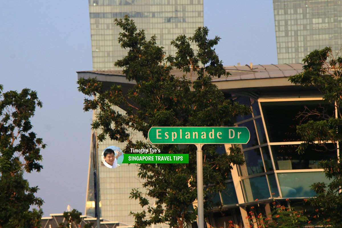
 Esplanade Drive roadsign (28 July 2017)
References and Further Reading
Want to know more about the streets of Singapore? Get the book recommended below!- Singapore Street Names by Victor R Savage & Brenda S.A. Yeoh
List of the Streets in Singapore; Discover Singapore
 Copyright © 2003-2025 Timothy Tye. All Rights Reserved.
Copyright © 2003-2025 Timothy Tye. All Rights Reserved.

 Go Back