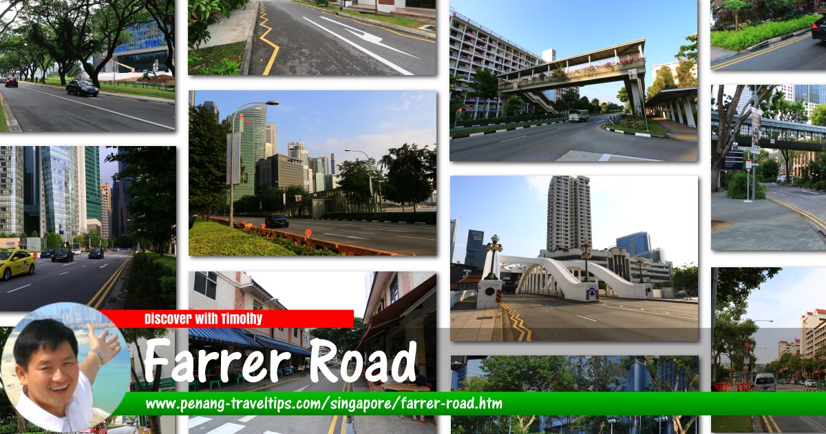
 Farrer Road, Singapore
Farrer Road is a major road in Singapore. It connects Adam Road, at the interchange with Dunearn Road and Bukit Timah Road in the north, with Queensway, at the interchange with Holland Road. Farrer Road splits Bukit Timah in the west from Tanglin in the east.
Roads branching out from Farrer Road include Jalan Kembang Melati, Lutheran Road, Gallop Park Road, Empress Road and Leedon Heights. The Farrer Road MRT Station (CC20) is located beside the road while Botanic Gardens MRT Station (CC19/DT9) is near the intersection of Farrer Road with Bukit Timah Road.
Map of Farrer Road, Singapore
Sights along Farrer Road
- Farrer Road MRT Station (GPS: 1.31725, 103.80749)

Farrer Road Singapore on Google Street View
(Oct 2021)References
- Singapore Street Names - A Study of Toponymics by Victor R Savage and Brenda S.A. Yeoh (2013), ISBN 978-981-4408-35-6
List of the Streets in Singapore; Discover Singapore
 Copyright © 2003-2025 Timothy Tye. All Rights Reserved.
Copyright © 2003-2025 Timothy Tye. All Rights Reserved.

 Go Back