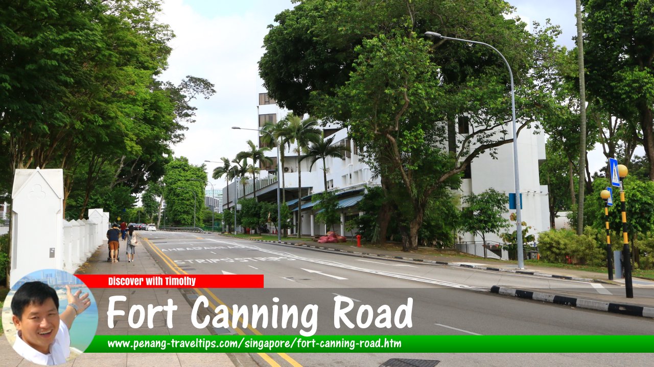
 Fort Canning Road, Singapore (30 July 2017)
Fort Canning Road is a road in the Museum Planning Area of downtown Singapore. It connects Bencoolen Street, at the intersection with Stamford Road and Orchard Road in the east, to Oxley Rise in the west.
Fort Canning Road was named after Fort Canning Hill, which is a historical site located at the top of the hill. Fort Canning Hill was once the site of a military fort and was the location of several important events in Singapore's history, including being the site of the former residence of Sir Stamford Raffles, who founded modern Singapore. (Raffles stayed there between November 1822 to January 1823; at that time, Fort Canning Hill was simply known as The Hill.)1
Today, Fort Canning Road is a busy street lined with various buildings and structures, including office buildings, embassies, and cultural institutions. The road is also home to several popular tourist attractions, such as the Fort Canning Park, which is a large green space that offers scenic views of the city and is popular for picnics and outdoor events. The park is also home to several historic buildings and monuments, including the Fort Canning Centre, which houses a museum and a theater.
Fort Canning Road is a busy and bustling street that is well-connected to other parts of Singapore by public transportation, including the MRT subway system. It is a popular destination for both locals and tourists, and offers a unique mix of history, culture, and modern city life. Whether you're interested in exploring the city's history, taking in its beautiful scenery, or simply soaking up its vibrant energy, Fort Canning Road is a must-visit destination in Singapore.
Map of Fort Canning Road, Singapore
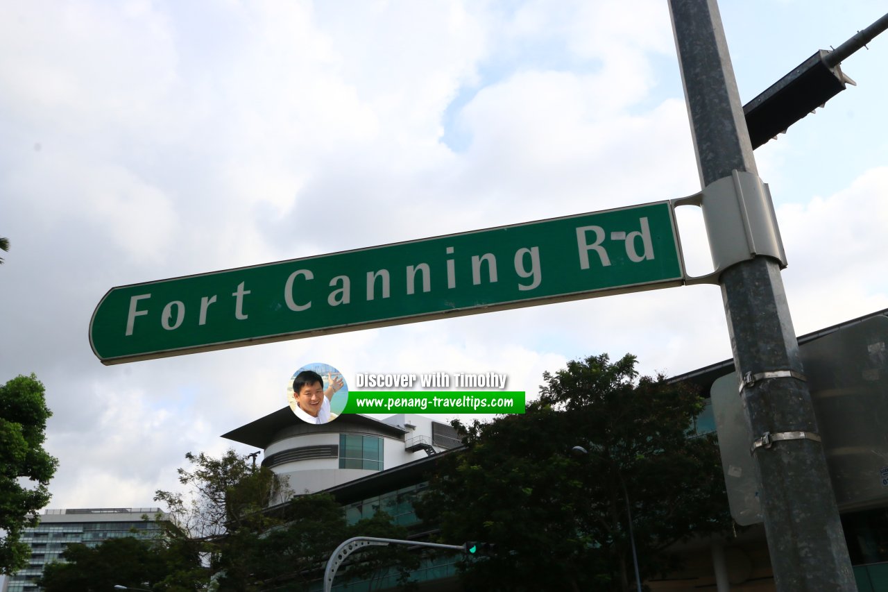
 Fort Canning Road roadsign (30 July 2017)
Fort Canning Road Singapore on Google Street View
Fort Canning Road Singapore (Dec 2022)References
- Singapore Street Names - A Study of Toponymics by Victor R Savage and Brenda S.A. Yeoh (2013), ISBN 978-981-4408-35-6
List of the Streets in Singapore; Discover Singapore
 Copyright © 2003-2025 Timothy Tye. All Rights Reserved.
Copyright © 2003-2025 Timothy Tye. All Rights Reserved.

 Go Back