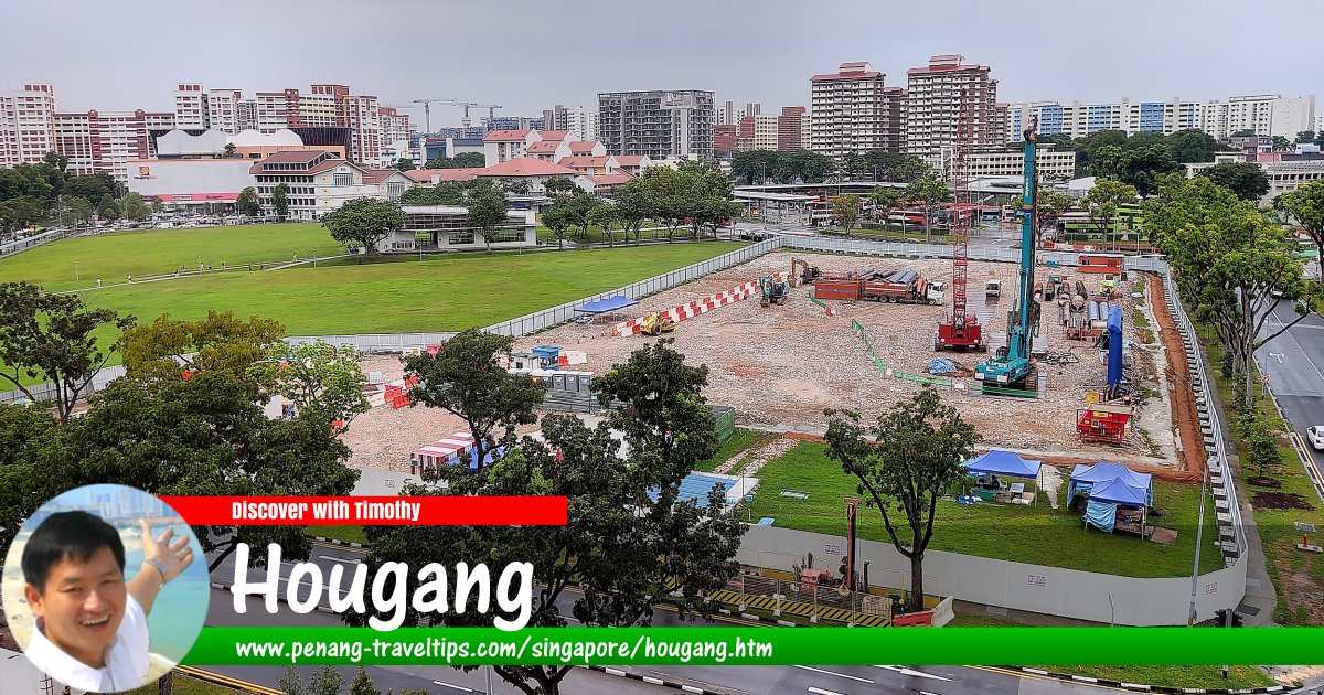
 Hougang, Singapore
ZKang123, CC BY-SA 4.0, via Wikimedia Commons
Hougang (GPS: 1.36121, 103.88625; pronounced Au1kang4
 ) is a suburb (or "planning area" in local nomenclature) on the northeastern part of Singapore. It is bordered by Sengkang to the north and Serangoon to the south. The old Paya Lebar airport forms the border separating Hougang from Tampines to the east.
Hougang is located in Singapore Postal District 19.
The planning area of Hougang is divided into 10 neighbourhoods called subzones. They are Defu Industrial Park, Hougang Central, Hougang East, Hougang West, Kangkar, Kovan, Lorong Ah Soo, Lorong Halus, Tai Seng and Trafalgar.
Hougang was originally known as Au Kang, a Hokkien and Teochew name meaning "river end". This refers to the area from the 5th milesone of Yio Chu Kang Road and Serangoon Road to the 7th milestone of Upper Serangoon Road and Tampines Road. The place name was pinyinised to Hougang.
Today Hougang New Town has 40,000 units of HDB flats for over 100,000 people. The retail outlets there include Hougang Mall, Hougang Festival Market and Heartland Mall. Among the facilies in Hougang New Town includes a sports stadium, an aquatic centre, an indoor sports complex, wet markets and hawker centre.
Map of Hougang, Singapore
MRT stations in in Hougang
- Buangkok MRT Station (GPS: 1.38241, 103.89299)

- Defu MRT Station (GPS: 1.3354, 103.88817)

- Hougang MRT Station (GPS: 1.37095, 103.89249)

- Kovan MRT Station (GPS: 1.36018, 103.88524)

- Tai Seng MRT Station (GPS: 1.3354, 103.88817)

Amenities in Hougang
Schools in Hougang includes CHIJ Our Lady of the Nativity Primary School, Holy Innocents' Primary School, Hougang Primary School, Montfort Junior School, Paya Lebar Methodist Girls' School (Primary & Secondary), Punggol Primary School, Xinghua Primary School, Xinmin Primary School, Yio Chu Kang Primary School, Bowen Secondary School, Holy Innocents' High School, Hougang Secondary School, Montfort Secondary School, Serangoon Secondary School, Xinmin Secondary School, Yuying Secondary School, Serangoon Junior College and the University of New Brunswick Singapore College.Places of worship include Tian De Temple, Church of the Nativity of the Blessed Virgin Mary, Pu Ti Buddhist Temple, Glad Tidings Church, Kwan Seng Temple, Lian Chin Jing She Temple, and Yio Chu Kang Chapel.
Getting there
Nearest MRT stations are the Hougang MRT Station (NE14) on the North East Line and Kovan MRT Station (NE13), also on the North East Line. The Hougang MRT Station is linked to the Hougang Central Bus Interchange by an underground link.List of Planning Areas in Singapore and Places in Singapore; Discover Singapore
 Copyright © 2003-2025 Timothy Tye. All Rights Reserved.
Copyright © 2003-2025 Timothy Tye. All Rights Reserved.

 , Singapore
 Go Back