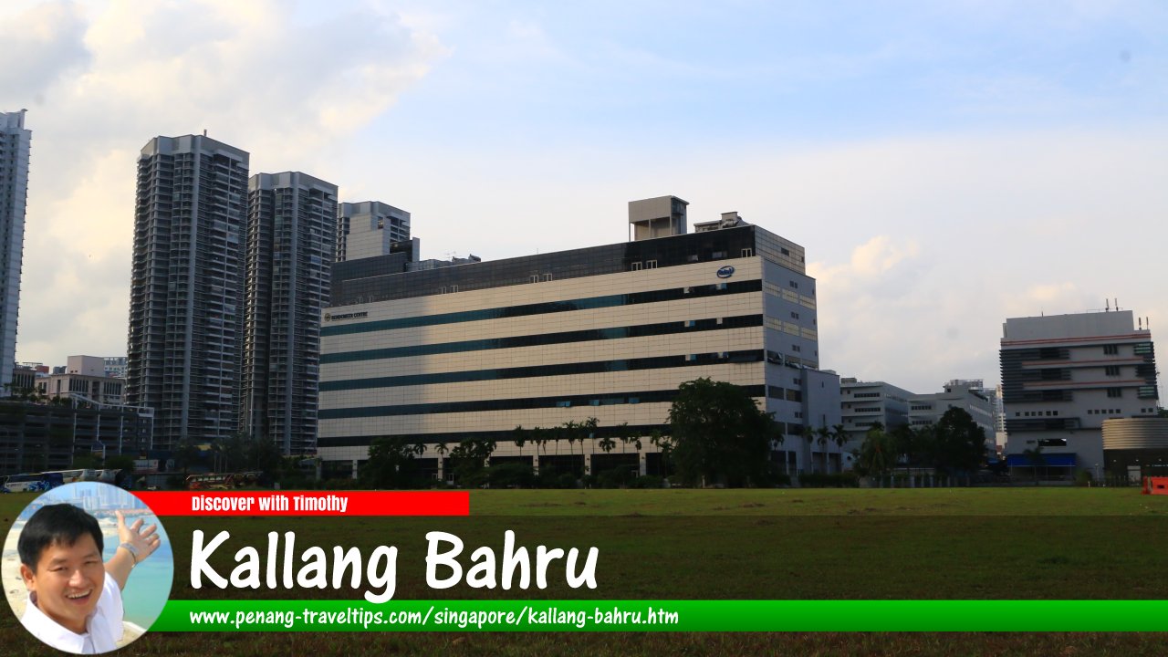
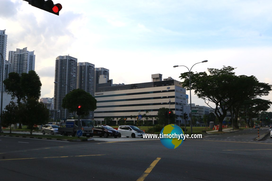
 Kallang Bahru, Singapore (26 July 2017)
Kallang Bahru is a major road as well as subzone in Singapore. Located entirely within Kallang, it connects Lavender Street to Geylang Bahru. There is an exit ramp from the Pan Island Expressway to this road as well. Kallang Bahru is also intersected by Boon Keng Road, and forms junctions with Kallang Avenue, Kallang Tengah and Kallang Place. It passes through an industrial estate with largely small medium industries.
The subzone of Kallang Bahru is bounded by Bendemeer Road, Whampoa River, Kallang River, Sims Avenue, Kallang Road and Lavender Street.
Map of Kallang Bahru, Singapore
Sights along Kallang Bahru
- Bendemeer Centre (GPS: 1.31448, 103.86224)

- Bendemeer MRT Station DT23 (GPS: 1.31368, 103.86295)

- CT Hub (GPS: 1.31233, 103.86275)

- Geylang Bahru MRT Station DT24 (GPS: 1.31368, 103.86295)

 Bendemeer Centre at Kallang Bahru. (27 July 2017)
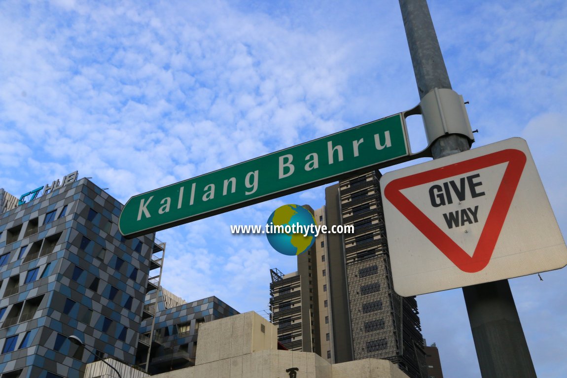
 Kallang Bahru roadsign (26 July 2017)
Kallang Bahru Singapore on Google Street View
Kallang BahruList of the Streets in Singapore; Discover Singapore
 Copyright © 2003-2025 Timothy Tye. All Rights Reserved.
Copyright © 2003-2025 Timothy Tye. All Rights Reserved.

 Go Back