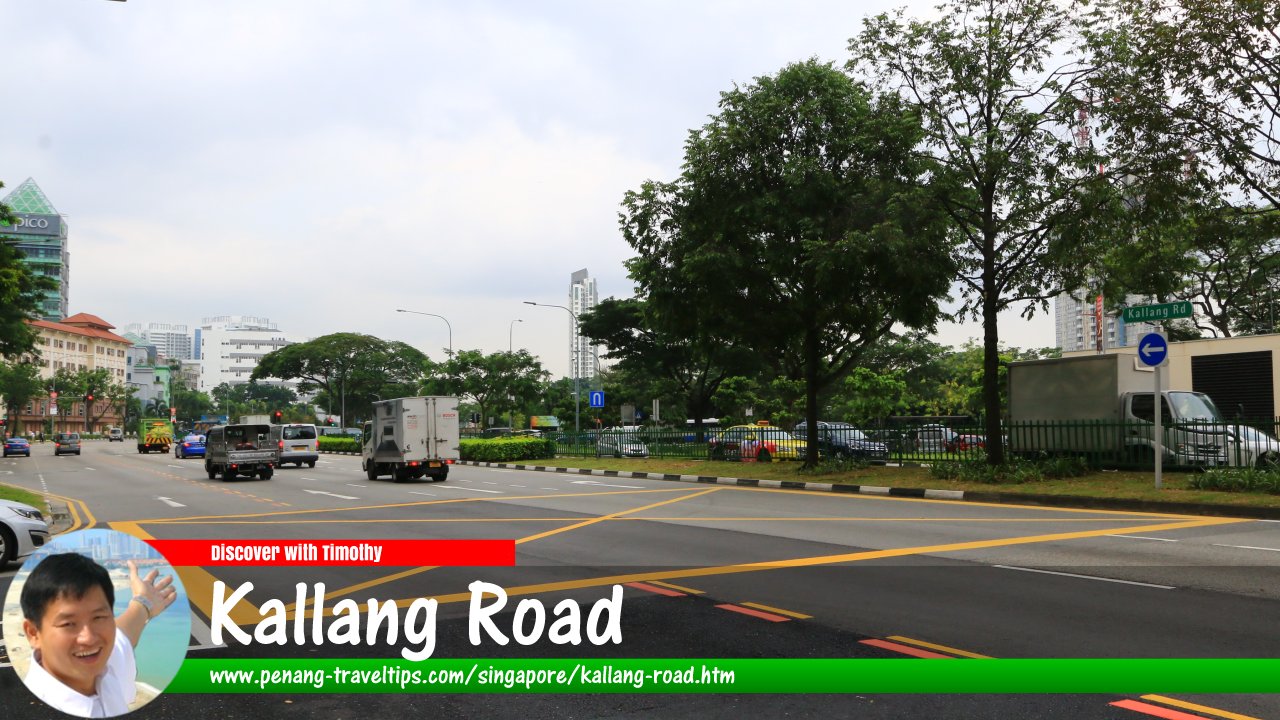
 Kallang Road, Singapore (26 July 2017)
Kallang Road is a major road in Singapore. It connects with Victoria Street in the west, at Victoria Bridge, and with Sims Avenue and Mountbatten Road in the east, at Sir Arthur's Bridge.
Kallang Road got its name from the nearby Kallang River and Kallang Basin, which in turn got their name from the sea gypsies, an Orang Laut tribe that lived at water's edge, along the river, and were known as Orang Biduanda Kallang.1
Map of Kallang Road
Sights along Kallang Road
- Citylights Condominium (GPS: 1.30849, 103.8633)

- HDB Blocks 813 and 815 (GPS: 1.30655, 103.86268)

- Hong Aik Industrial Building (GPS: 1.30982, 103.86602)

- ICA Building (GPS: 1.30655, 103.86268)

- International Press (GPS: 1.3102, 103.86732)

- Lavender MRT Station (GPS: 1.30722, 103.86304)

- Mitutoyo Building (GPS: 1.30999, 103.86656)

- Pico Creative CKamentre (GPS: 1.30981, 103.86505)

- Sri Manmatha Karuneshvarar Temple (GPS: 1.3089, 103.866)

- Tai Pei Buddhist Centre (GPS: 1.30931, 103.86452)

- The Riverine By The Park Condominium (GPS: 1.30975, 103.86923)

- V Hotel Lavender Singapore (GPS: 1.30773, 103.86268)

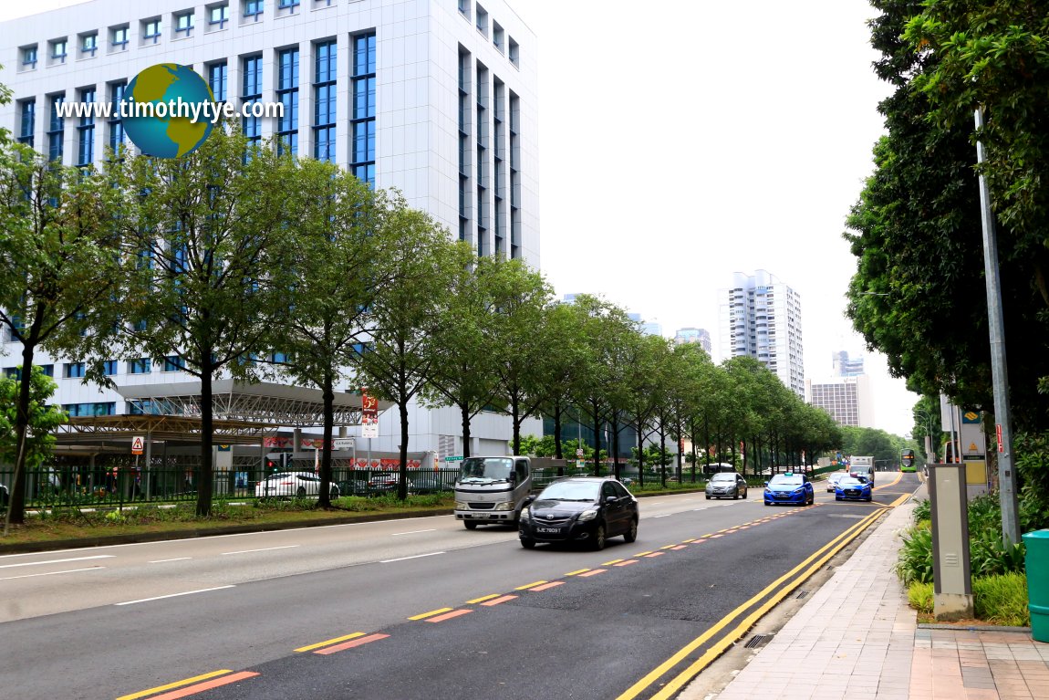 View of Kallang Road with the ICA Building across the road. (26 July 2017)
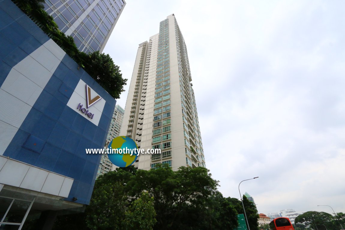 Citylights Condominium at Kallang Road. (26 July 2017)
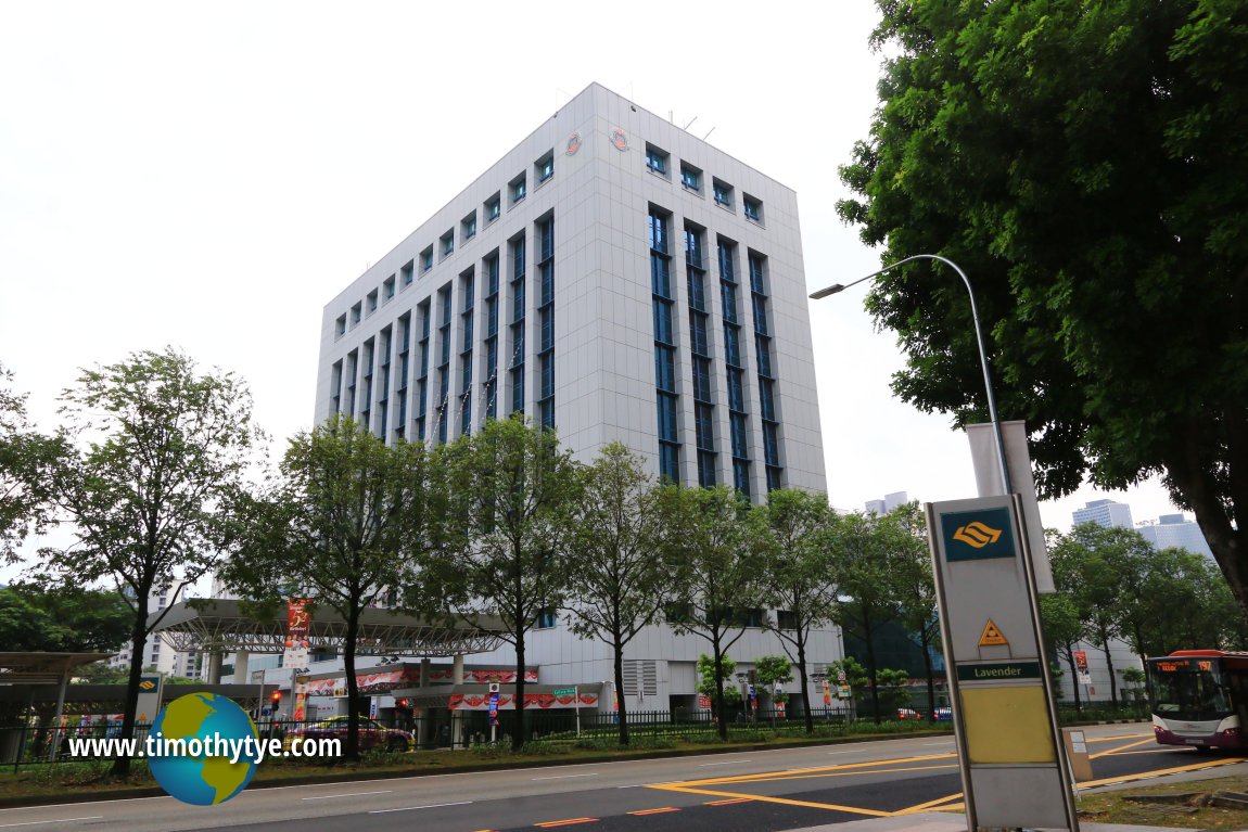 ICA Building (26 July 2017)
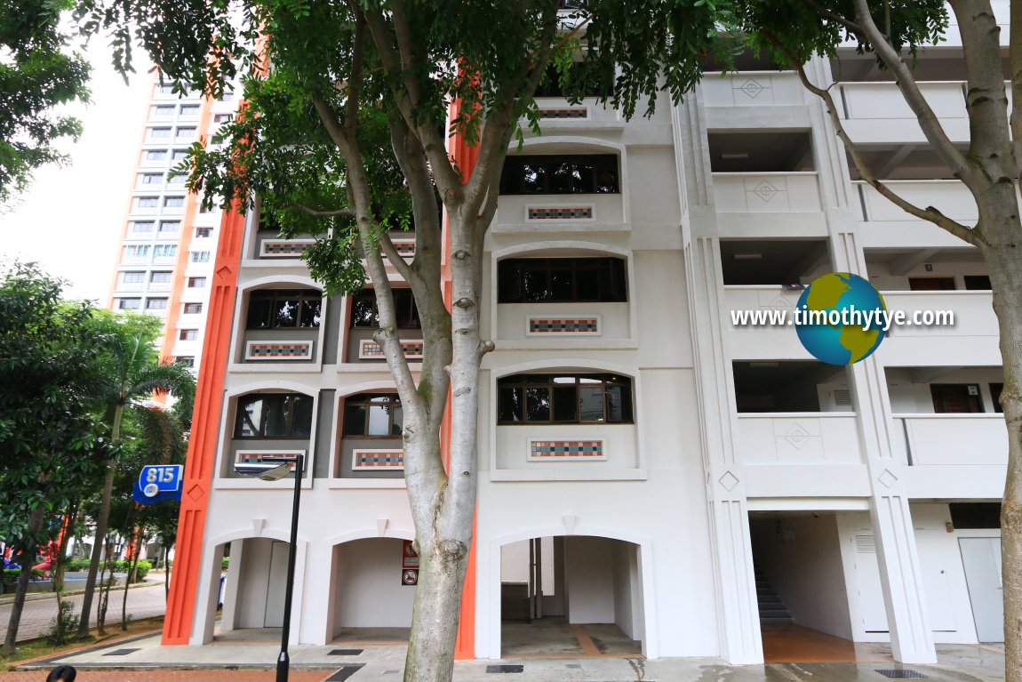 HDB Flat Block 815 facing Kallang Road (26 July 2017)
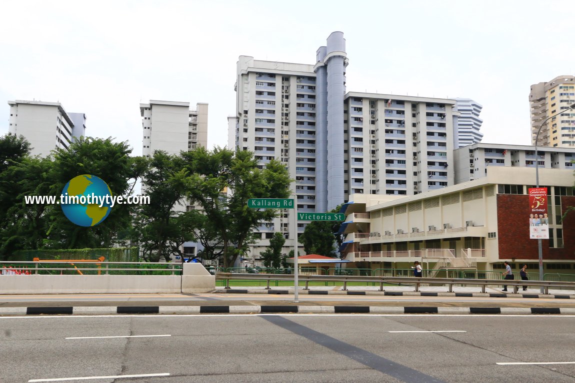 Kallang Road-Victoria Street boundary (26 July 2017)
Kallang Road Singapore on Google Street View
Kallang RoadReferences
1. Singapore Street Names, by Victor R. Savage and Brenda S.A. Yeoh, page 197.List of the Streets in Singapore; Discover Singapore
 Copyright © 2003-2025 Timothy Tye. All Rights Reserved.
Copyright © 2003-2025 Timothy Tye. All Rights Reserved.

 Go Back