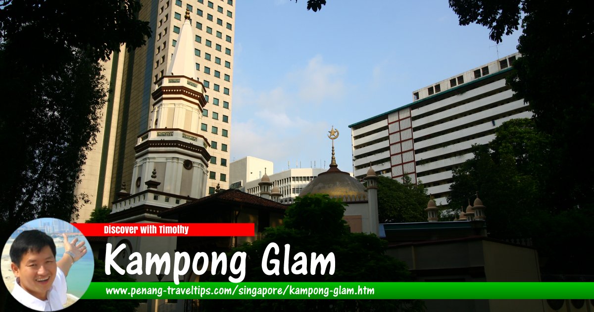
 Kampong Glam, Singapore (8 July 2006)
Kampong Glam
 (GPS: 1.30176, 103.86062) is a Malay neighborhood to the east of downtown Singapore. It is today a subzone within Rochor, Singapore. The name means "eucalyptus village". Although you don't actually see a Malay village in the same sense as you would in the rural parts of Malaysia, you will still get a distinct feel of the Malay-ness of the neighborhood. The eucalyptus or gelam was used by the Malays here as an ointment as well as for waterproofing boats.
Under the Raffles Plan, also known as the Jackson Plan of 1822, the Kampong Glam area was parcelled for ethnic Malays and Arabs. It was further split into three parts, the Bugis portion where Bugis Junction is located today; the Arab portion, around Arab Street; and the Sultan of Singapore, around the palace of the sultan, today called Istana Kampong Glam today.
Kampong Glam was originally beside the sea, with boats could be parked right on the shore where Beach Road is now located. Subsequent land reclamations have extended the shoreline outwards from the original Kampong Glam area.
Map of Kampong Glam, Singapore
Sights in Kampong Glam, Singapore
- Gedung Kuning (GPS: 1.30228, 103.86017)

- Istana Kampong Glam (GPS: 1.30289, 103.85987)

- Malabar Mosque (GPS: 1.30521, 103.85968)

- Masjid Hajjah Fatimah (GPS: 1.30282, 103.86291)

- Sultan Mosque (GPS: 1.30228, 103.85896)

Streets in Kampong Glam, Singapore
Getting there
You can take the Singapore MRT East-West Line to the Bugis MRT Station or Lavender MRT Station and walk from there.List of Places in Singapore; Discover Singapore
 Copyright © 2003-2025 Timothy Tye. All Rights Reserved.
Copyright © 2003-2025 Timothy Tye. All Rights Reserved.

 Go Back