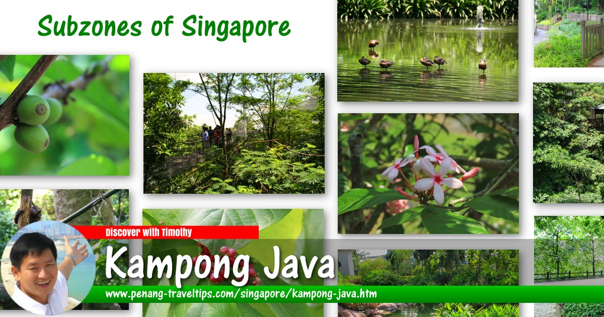
 Kampong Java, Singapore
Kampong Java is a subzone in Kallang, Singapore. It is the area bounded by the Central Expressway, Balestier Road, Tessensohn Road, Gloucester Road, Northumberland Road and Bukit Timah Road. Singapore Street Names1 speculates that a Javanese settlement probably existed there in the 1860s, giving its name to the village as well as Kampong Java Road.
Map of Kampong Java, Singapore
Sights in Kampong Java
- Christ Church (GPS: 1.31199, 103.84787)

- Keng Lee Court (GPS: 1.31273, 103.84716)

- Kim Mui Hoey Kuan (GPS: 1.31257, 103.84728)

- KK Women's and Children's Hospital (GPS: 1.31062, 103.84722)

- Land Transport Authority (GPS: 1.30895, 103.84799)

- Pek Kio Market (GPS: 1.31612, 103.85026)

- Police Tanglin Division HQ (GPS: 1.31193, 103.84648)

- Singapore Baptist Church (GPS: 1.31335, 103.84651)

- The World Red Swastika Society (GPS: 1.31301, 103.84698)

Kampong Java is  on the Map of Kallang, Singapore
References
- Singapore Street Names - A Study of Toponymics by Victor R Savage and Brenda S.A. Yeoh (2013), ISBN 978-981-4408-35-6, page 201
List of Planning Areas in Singapore and Places in Singapore; Discover Singapore
 Copyright © 2003-2025 Timothy Tye. All Rights Reserved.
Copyright © 2003-2025 Timothy Tye. All Rights Reserved.

 Go Back