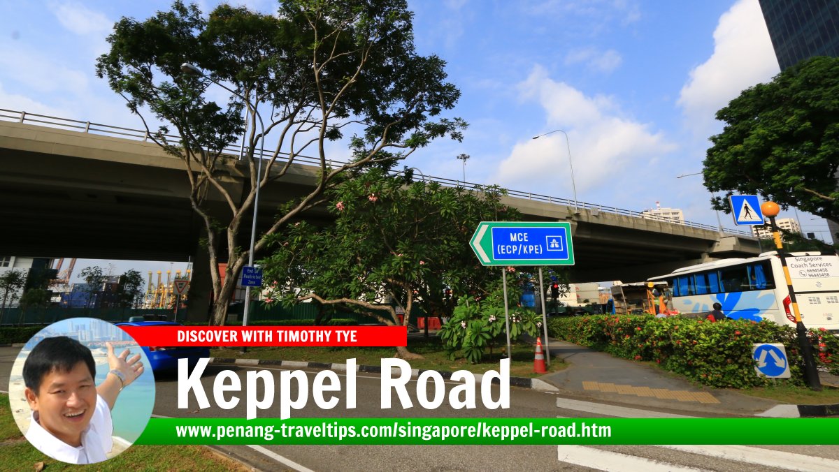
 Keppel Road, Singapore (27 July 2017)
Keppel Road is a major road on the southern part of the Central Business District of Singapore. It is the road providing access to the Singapore Port. A number of shipping terminals and wharves are access directly from this road, among them the Tanjong Pagar Terminal and Keppel Terminal.
Keppel is located in Singapore Postal District 04.
Map of Keppel Road, Singapore
MRT Stations along Keppel Road Singapore
- Cantonment MRT Station (GPS: 1.27278, 103.83663; CC31)
 under construction
 - Keppel MRT Station (GPS: 1.27035, 103.83064; CC30)
 under construction
Sights along Keppel Road, Singapore
- ABI Plaza (GPS: 1.27327, 103.84288)

- Customs Operations Command (GPS: 1.27289, 103.84106)

- Fuji Xerox Towers (GPS: 1.27316, 103.84377)

- Jit Poh Building (GPS: 1.27299, 103.84237)

- Keramat Habib Noh (GPS: 1.27284, 103.8474)

- Singapore Art Museum at Tanjong Pagar Distripark (GPS: 1.27195, 103.83675)

About Keppel Road
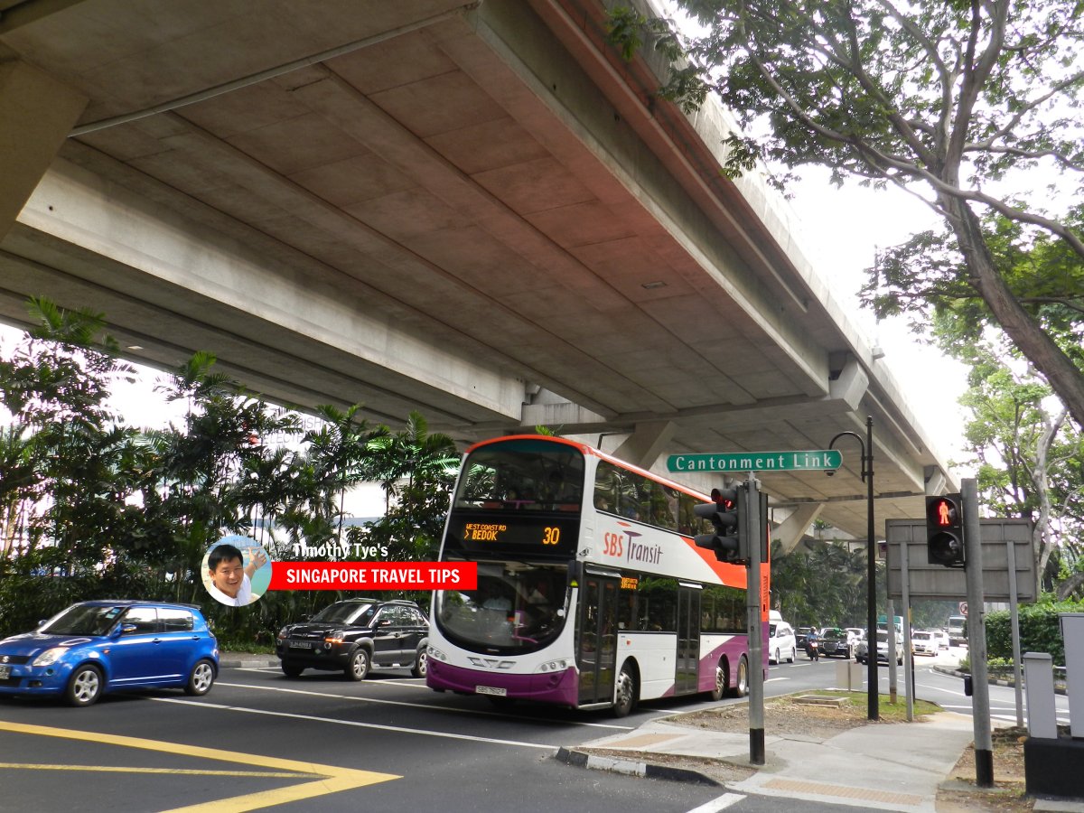
Running east-west, Keppel Road starts at the intersection with Shenton Way in the east, and ends near the Keppel Distripark, where it continues as West Coast Highway. The Ayer Rajah Expressway (AYE) is on the Keppel Viaduct above Keppel Road until km-2.5, where the expressway continues in a northwest direction while Keppel Road heads southwest.Keppel Road forms junctions with a number of major roads including Anson Road, Tanjong Pagar Road and Cantonment Road.
The function of the Keppel area as a port goes back to the very founding of Singapore, when William Farquhar noticed the natural sheltered harbour between the main island and Pulau Brani. There were some sea gypsies or Orang Laut living in boats anchored to the shore, which was known as Pantai Chermin ("Mirror Beach"). He reported this to Stamford Raffles.
The development of the Keppel area as a harbour did not begin immediately, as the earlier harbour of Singapore was located further north, in the location of present-day Boat Quay and Collyer Quay. Nonetheless the suitability of Keppel did not go unnoticed, and in 1855, the area was purchased from the Temenggong of Johore. The name Keppel may have been given to it at that time, in honour of Captail (and later Admiral) Henry Keppel (1809-1904), a British naval officer who was credited with subduing piracy in the area.
The first dock built in the Keppel area was simply called Dock No. 1. It was built by Captain William Cloughton, and completed in 1859. As the benefit of the Keppel area became apparent, more docks were built - Victoria Dock in 1868, Albert Dock in 1879.
The Keppel area was initially simply called New Harbour, until it was renamed to Keppel Harbour by Acting Governor, Alexander Swettenham, in 1900. This coincided with the completion of land reclamation of the area that extended the shoreline, creating space for warehouses and deeper wharves for steamships to berth.
In the one hundred years since then, the area around Keppel Road has transformed into one of the biggest harbours in the world. Little remains of the shoreline as first seen by Willilam Farquhar.
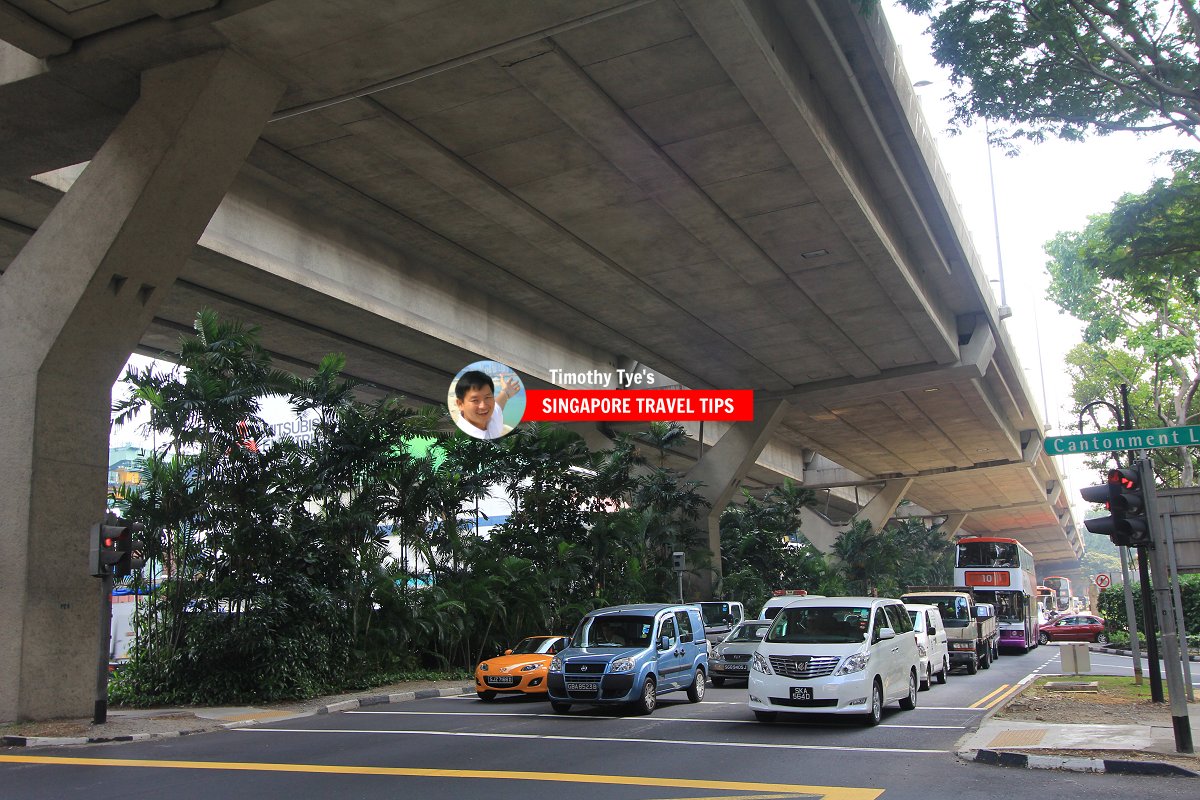
 Keppel Road, Singapore (7 July 2011)
 Keppel Road, with the Ayer Rajah Expressway on the Keppel Viaduct overhead (7 July 2011)
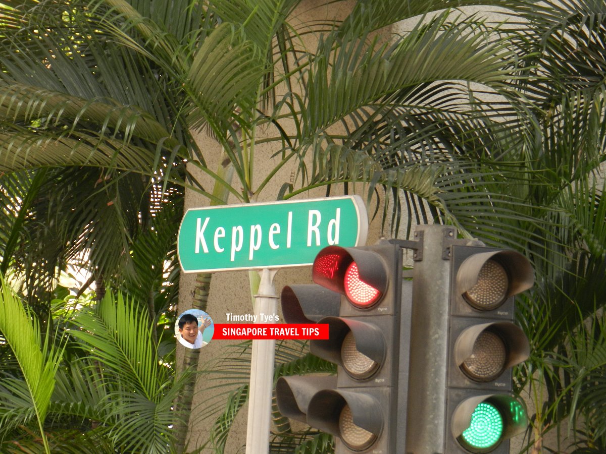
 Keppel Road roadsign (7 July 2011)
References
- Singapore Street Names by Victor R Savage and Brenda S.A. Yeoh (2004), ISBN 981-210-364-3
List of the Streets in Singapore; Discover Singapore
 Copyright © 2003-2025 Timothy Tye. All Rights Reserved.
Copyright © 2003-2025 Timothy Tye. All Rights Reserved.

 Go Back