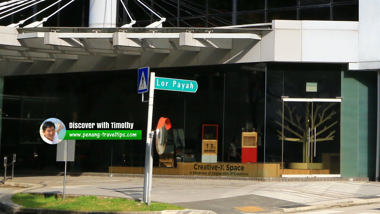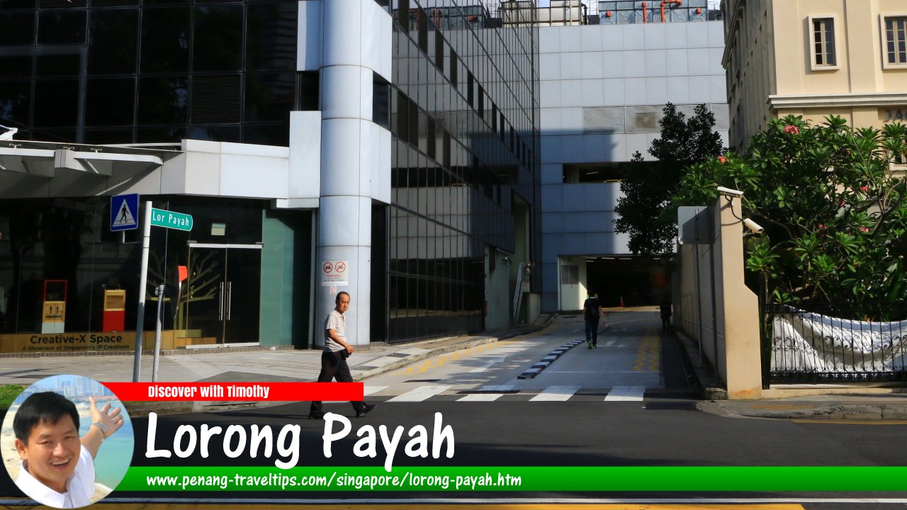
Lorong Payah, SingaporeLorong Payah, Singapore (30 July 2017)


Lorong Payah is a small lane in downtown Singapore. It connects Bencoolen Street to Waterloo Street, behind the Lazada One building. The lane separates Rochor from the Museum Planning Area. As the word "payah" is possibly an old spelling of paya, which means mangrove in Malay, I suppose that the area was swampy when that name was given to the lane. Today it is a relatively obscure lane.

Map of Lorong Payah, Singapore

Sights along Lorong Payah

  1. Lazada One (GPS: 1.29787, 103.85013)

Lorong Payah roadsignLorong Payah roadsign (30 July 2017)

Lorong Payah Singapore on Google Street View

Lorong Payah Singapore (Dec 2022)

List of the Streets in Singapore; Discover Singapore

 Sights in Singapore

 Latest updates on Penang Travel Tips

Streets of Singapore and Map of Singapore Streets

Singapore MRT and Map of Singapore MRT

Postal Districts of Singapore and Map of Singapore Postal Districts

Planning Areas of Singapore and Map of Singapore Planning Areas

About this website


Dear visitor, thank you so much for reading this page. My name is Timothy Tye and my hobby is to find out about places, write about them and share the information with you on this website. I have been writing this site since 5 January 2003. Originally (from 2003 until 2009, the site was called AsiaExplorers. I changed the name to Penang Travel Tips in 2009, even though I describe more than just Penang but everywhere I go (I often need to tell people that "Penang Travel Tips" is not just information about Penang, but information written in Penang), especially places in Malaysia and Singapore, and in all the years since 2003, I have described over 20,000 places.

While I try my best to provide you information as accurate as I can get it to be, I do apologize for any errors and for outdated information which I am unaware. Nevertheless, I hope that what I have described here will be useful to you.

Copyright © 2003-2025 Timothy Tye. All Rights Reserved.