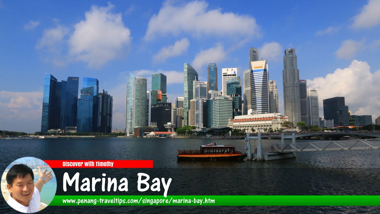
 Marina Bay (1 August 2017)
Marina Bay (GPS: 1.28779, 103.86655) is a man-made bay engulfing a body of water in the downtown area of Singapore. It is bordered by the Esplanade in the north, Collyer Quay to the west, The Promontory @ Marina Bay to the south, and Marina Bay Sands to the east. It also includes the outlet south of the Kallang Basin, with Bay East Garden in the east, Gardens by the Bay in the south and Marina Barrage to the east.
Despite its name, Marina Bay is not actually a marina, as yachts and other vessels are not anchored there, nor is it a bay, for successive phases of reclamation has effectively turned it into a manmade lagoon. The area, along with adjacent Kallang Basin, acts as a freshwater catchment area of the Marina Reservoir. Encircling Marina Bay is the Waterfront Promenade, a pedestrian mall linked by pedestrian bridges at various points. It strings together various food and beverage outlets, shops, and entertainment venues.
The area surrounding Marina Bay comprises land reclaimed from the sea. This is being developed into the New Downtown of Singapore, marketed as a 24x7 destination offering "leisure and cultural experiences". The land area totals 360 hectares, and serve to offload the pressing need for more land in the Singapore downtown area.
Development of Marina Bay is traced back to 1969, when work began to reclaim and extend the waterfront coastline of downtown Singapore. Reclamation work was completed in 1992, creating areas now known as Marina South and Marina East. The Urban Redevelopment Authority of Singapore (URA) put together a master plan in 1983 for the long-term development of Marina May, envisioning wide open public spaces with various entertainment amenities, along with commercial and residential properties. A branding exercise was carried out in 2005 to determine a proper name for the area, but eventually settled on Marina Bay.
Over the years, Marina Bay has become an important tourist destination in Singapore. Since 2008, the Formula One Singapore Grand Prix was held there. Various extravaganzas are also staged at and around Marina Bay, among them the Singapore Fireworks Celebration, first held in 2004, when it was called Singapore Fireworks Festival. It features some 130 varieties of fireworks, and is held as part of the National Day celebrations. Another free performance held at Marina Bay is the Marina Bay Sands Light and Water Show. Also called Spectra, it is an outdoor light and water show involving lasers, fountains and visual projections. As of 2017, show times are Sundays to Thursdays at 8pm and 9pm; Fridays and Saturdays at 8pm, 9pm and 10pm.
Map of Marina Bay
MRT Stations in Marina Bay
- Downtown MRT Station DT17 (GPS: 1.2793, 103.85274)

- Gardens by the Bay MRT Station (GPS: 1.2805, 103.86879)

- Marina Bay MRT Station CC4/DT15 (GPS: 1.27602, 103.85491)

- Marina South Pier MRT Station CC4/DT15 (GPS: 1.27139, 103.86362)

- Promenade MRT Station CC4/DT15 (GPS: 1.29162, 103.86059)

Sights at and around Marina Bay
- Anderson Bridge (GPS: 1.28727, 103.853)


 (GPS: 1.29351, 103.85876)


 (GPS: 1.28336, 103.85908)


 (GPS: 1.29237, 103.85852)


 (GPS: )
 (GPS: 1.28329, 103.85361)


 (GPS: 1.2909, 103.86002)


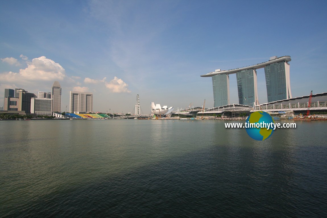
 View across Marina Bay towards ArtScience Museum and Marina Bay Sands. (11 September, 2010)
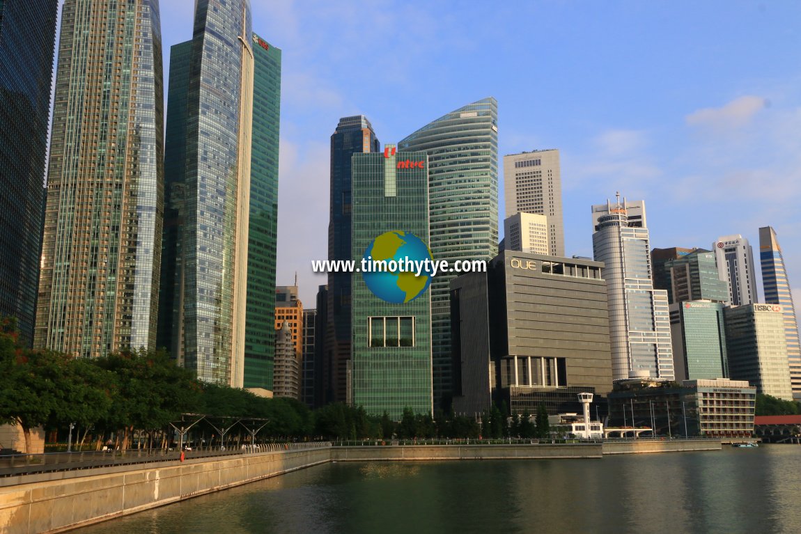
 The skyscrapers of downtown Singapore front Marina Bay. (27 July 2017)
360° View of Marina Bay on Google Maps Street View
View of Marina Bay from Clifford Pier.View of Marina Bay from One Fullerton.
View of Marina Bay from ArtScience Museum.
View of the skyscrapers of the New Downtown.
View of Marina Bay from Olympic Walk.
How to go to Marina Bay
Take the North-South Line to the Marina Bay MRT Station. In future, you can also take the Downtown Line to the Downtown MRT Station when it is completed.List of Places in Singapore; Discover Singapore
 Copyright © 2003-2025 Timothy Tye. All Rights Reserved.
Copyright © 2003-2025 Timothy Tye. All Rights Reserved.

 Go Back