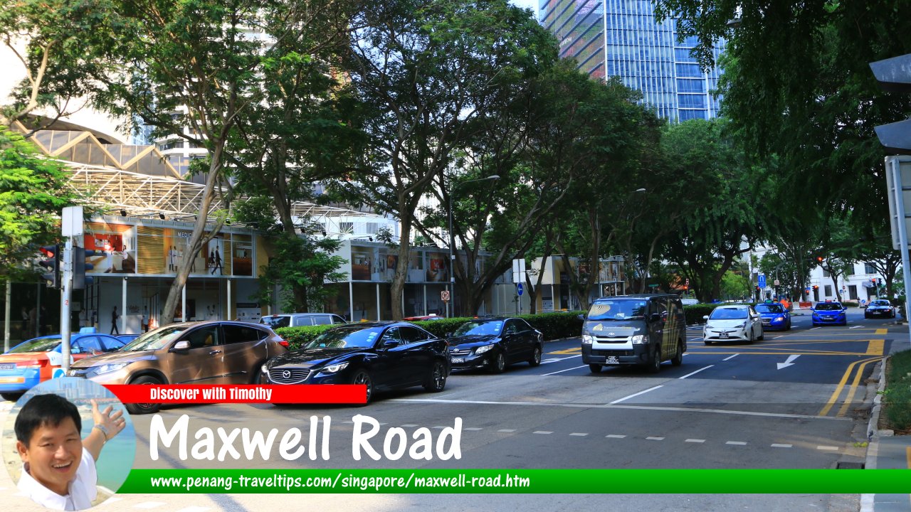
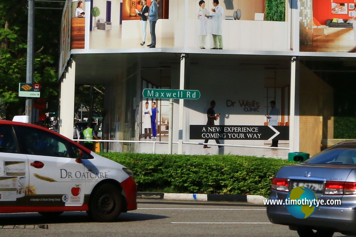
 Maxwell Road, Singapore (27 July 2017)
Maxwell Road is a major road in downtown Singapore. It runs through the southern part of the Downtown Core, from Chinatown to the Central Business District. It presently connects Straits Boulevard, at the intersection with Shenton Way, to South Bridge Road, at the junction with Neil Road. In between, it forms junctions with Anson Road, Robinson Road, Cecil Street, Wallich Street, Peck Seah Street, Kadayanallur Street and Tanjong Pagar Road.
Maxwell Road was named in 1925 to remember the contribution of the illustrious Maxwell family which spans three generations. Sir Peter Benson Maxwell served as Recorder of Singapore from 1866 to 1871. His eldest son became a magistrate in Penang. His second son Sir William Edward Maxwell became the colonial secretary and Acting Governor of the Straits Settlements in 1893-1894. His third son Robert Walter Maxwell became the Inspector General of Police between 1891 and 1894 and his youngest son Francis R.O. Maxwell became the Resident of Sarawak.
Several of Sir William's sons also served the British Straits and Indian army. Maxwell Road in Penang was named after Sir William Edward Maxwell, as was Maxwell Road in Kuala Lumpur, which is today called Jalan Tun Ismail.
I will describe it beginning at the junction with South Bridge Road and Tanjong Pagar Road. On the left side of Maxwell Road is the Maxwell Food Centre while on the right is Fairfield Methodist Church. Further down, we see the Urban Redevelopment Authority (URA Centre) on the left, followed by the Ministry of National Development (MND). Across from MND, on the right side of Maxwell Road is the Maxwell Chambers Suites. On the same side as MND is Telok Ayer Park, and across from it, a white building Next to it is a white building often called the White House, but is officially known as Maxwell Chambers. It is at the junction with Wallich Street and Anson Road.
Across the junction are the skyscrapers of Shenton Way such as the CPF Building and 8 Shenton Way. Continuing down Maxwell Road across Shenton Way, you pass the Singapore Conference Hall on your left, while on your right you see Yess Leisure Centre and NTUC Club. Maxwell Road now continues along a leafy, palm-tree-lined stretch before ending at Marina Station Road.
Map of Maxwell Road, Singapore
MRT Stations at Maxwell Road
- Maxwell MRT Station (GPS: 1.28055, 103.84366)

- Tanjong Pagar MRT Station (GPS: 1.27664, 103.84665)

Sights along Maxwell Road
- Airview Building (GPS: 1.27902, 103.84504)

- AXA Tower (GPS: 1.27585, 103.84727)

- Capital Tower (GPS: 1.2778, 103.84771)

- CPF Building (GPS: 1.27733, 103.84812)

- Fairfield Methodist Church (GPS: 1.27726, 103.84641)

- Jinricksha Station (GPS: 1.28038, 103.84381)

- Maxwell Chambers (GPS: 1.27726, 103.84641)

- Maxwell Chambers Suites (GPS: 1.27823, 103.84562)

- Maxwell Food Centre (GPS: 1.27726, 103.84641)

- Maxwell House (GPS: 1.279, 103.84584)

- Ministry of National Development (GPS: 1.279, 103.84584)

- Murray Terrace (GPS: 1.279, 103.84584)

- OUE Downtown (GPS: 1.27672, 103.84825)

- Singapore City Gallery (GPS: 1.27967, 103.84532)

- Telok Ayer Park (GPS: 1.27798, 103.84676)

- The URA Centre (GPS: 1.27967, 103.84532)

How to reach Maxwell Road
Take the East-West Line to the Tanjong Pagar MRT Station. AXA Tower, Singapore (27 July 2017)
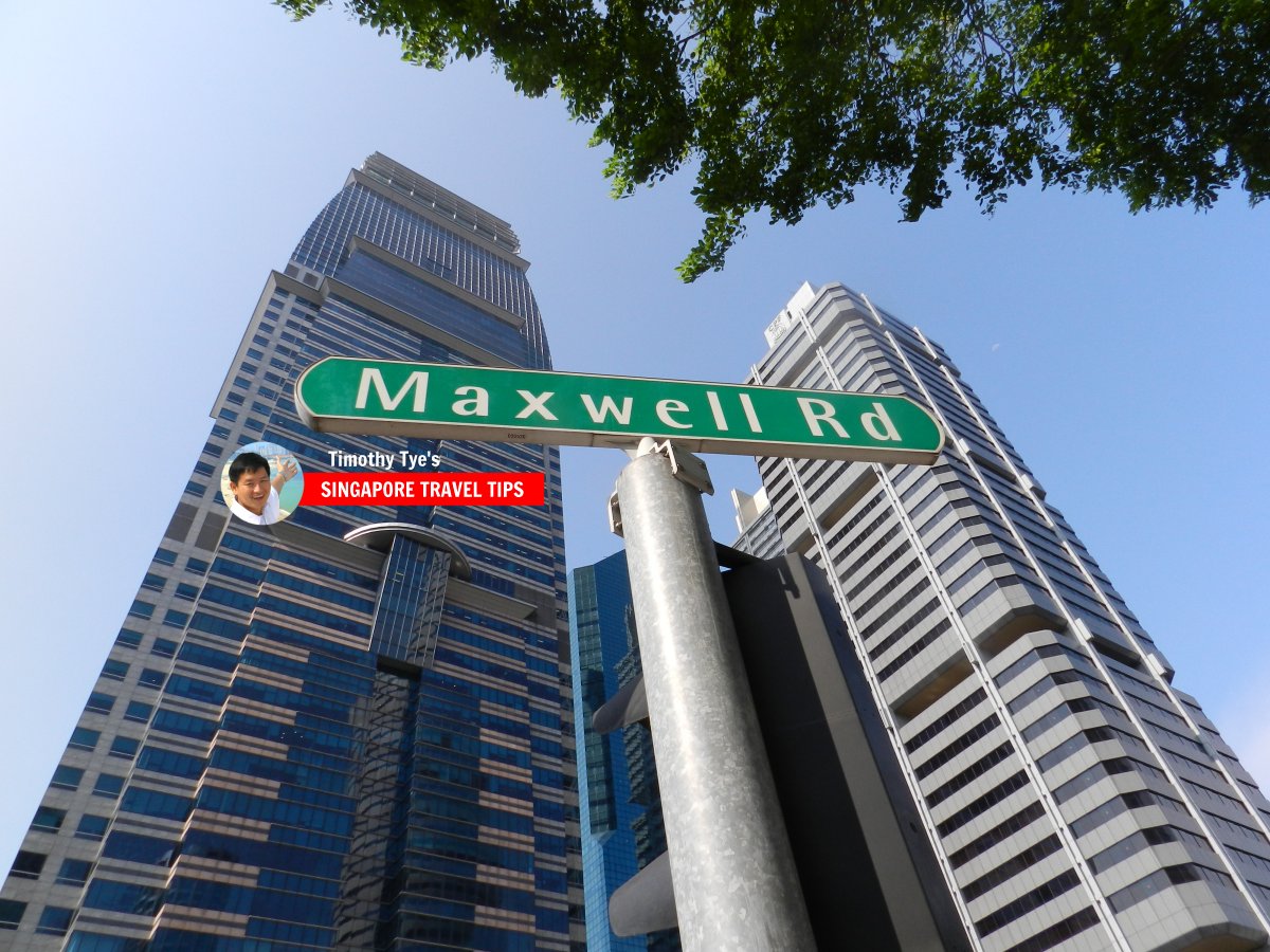
 Maxwell Road roadsign (8 July 2011)
Maxwell Road Singapore on Google Street View
Maxwell Road Singapore (Mar 2022)List of the Streets in Singapore; Discover Singapore
 Copyright © 2003-2025 Timothy Tye. All Rights Reserved.
Copyright © 2003-2025 Timothy Tye. All Rights Reserved.

 Go Back