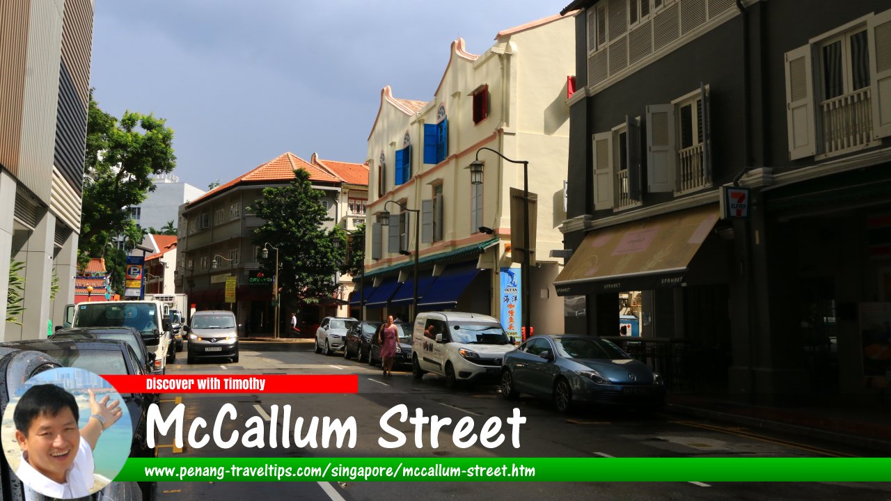
 McCallum Street, Singapore (1 August 2017)
McCallum Street is a one-way street through the Financial District and Chinatown of Singapore. It starts at Shenton Way and ends at the intersection with Telok Ayer Street, from where it continues as Amoy Street. The traffic direction is one way from Shenton Way to Cecil Street; it is in the opposite direction from Telok Ayer Street to Cecil Street.
McCallum Street also forms intersections with Robinson Road and Cecil Street, and a junction with Stanley Street. It is also intersected by alleyways such as Maxwell Link and Boon Tat Link.
Named after Major H.E. McCallum, the government engineer involved in the land reclamations of 1890's, McCallum Street was created following the land reclamation that extended the shoreline from Robinson Road to Raffles Quay. There is a possibility - but not conclusively verified - that MaCallum Street, Penang, was also named after him.
The Shenton Way section of McCallum Street is characterized by skyscrapers. A pedestrian overpass is located right at the junction of Shenton Way to McCallum Street. As you head west on McCallum Street, you pass a number of small lanes such as Maxwell Link and Boon Tat Link. They appear almost like gorges hemmed in by concrete canyons.
Map of McCallum Street, Singapore
Sights along McCallum Street
- The Clift (GPS: 1.2795, 103.84733)

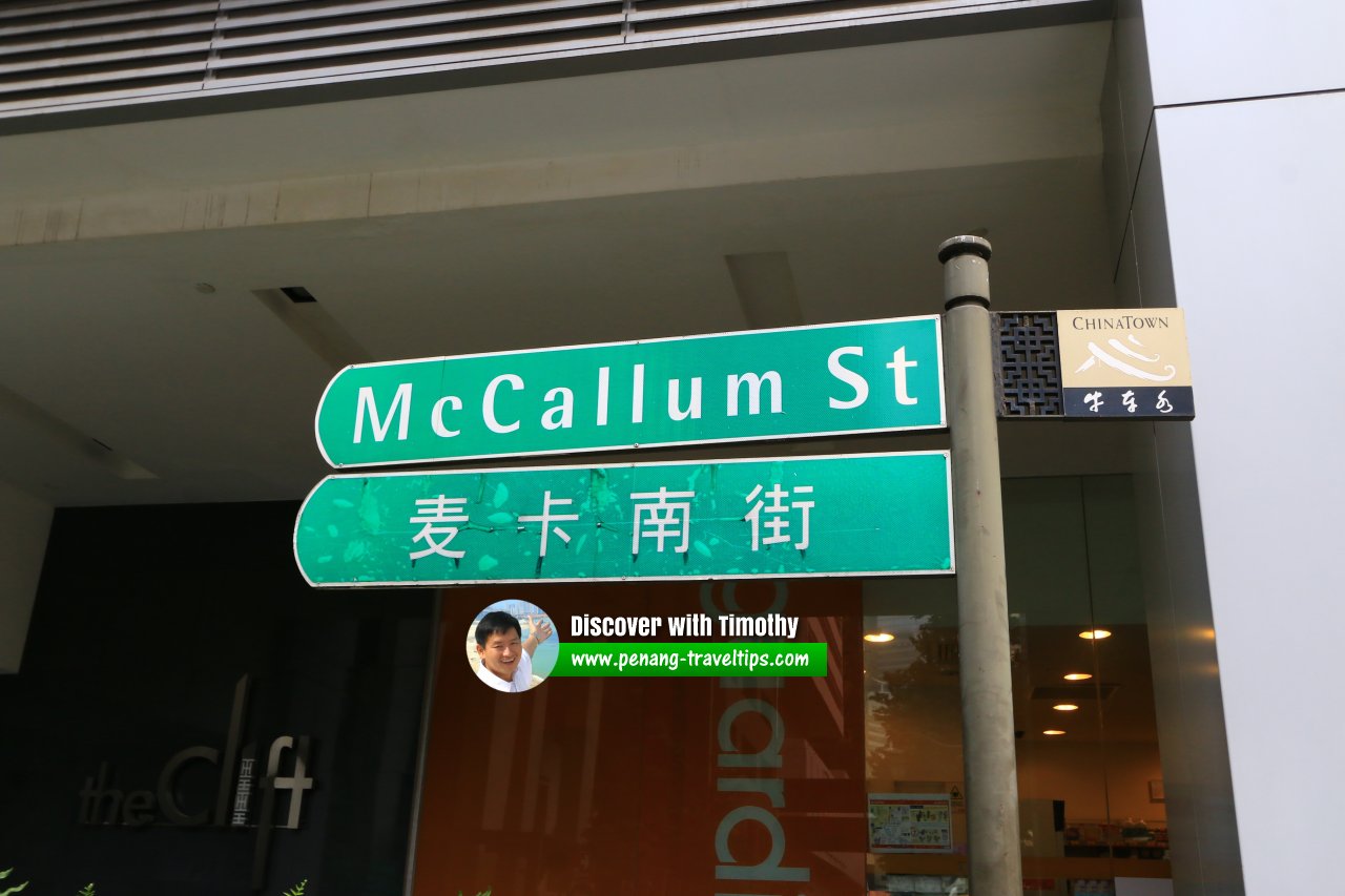
 McCallum Street roadsign, Singapore (1 August 2017)
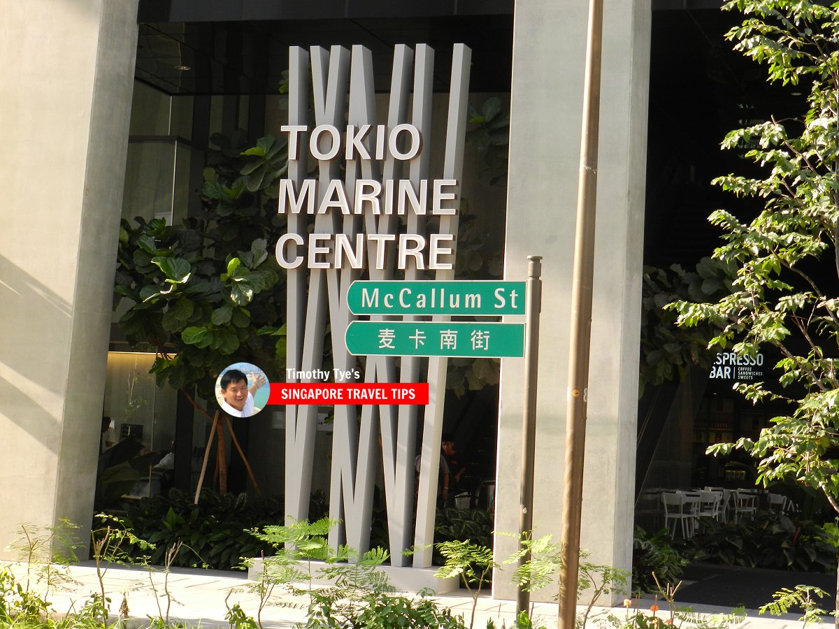
 McCallum Street roadsign (8 July 2011)
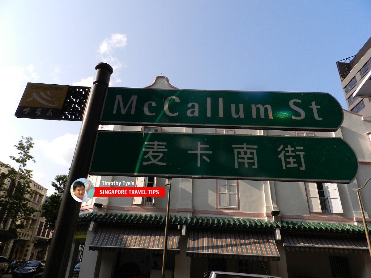
 McCallum Street roadsign (8 July 2011)
McCallum Street Singapore on Google Street View
McCallum Street Singapore (Mar 2022)References
- Singapore Street Names by Victor R Savage and Brenda S.A. Yeoh (2004), ISBN 981-210-364-3
List of the Streets in Singapore; Discover Singapore
 Copyright © 2003-2025 Timothy Tye. All Rights Reserved.
Copyright © 2003-2025 Timothy Tye. All Rights Reserved.

 Go Back