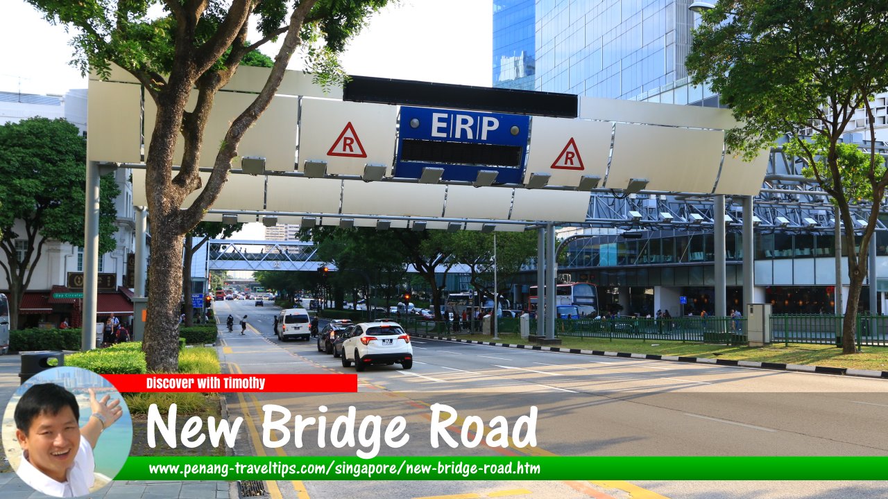
 New Bridge Road, Singapore (28 July 2017)
New Bridge Road is a major road in Singapore's Chinatown. Dating back to 1842, it runs parallel to Eu Tong Sen Street. Traffic flow is one way in the southwest direction, while traffic on Eu Tong Sen Street is in the opposite direction. New Bridge Road starts at Coleman Bridge across the Singapore River, and ends at Kampong Bahru Road. In between, it forms junctions and intersections with Upper Circular Road, Carpenter Street, Hongkong Street, North Canal Road, Upper Pickering Street, Upper Hokien Street, Upper Cross Street, Mosque Street, Pagoda Street, Temple Street, Smith Street, Keong Said Road, Kreta Ayer Road, Teo Hong Road, Bukit Pasoh Road, Cantonment Road, Hospital Drive and Neil Road.
New Bridge Road was named after the "New Bridge" of 1840 designed by George Coleman, which we know today as Coleman Bridge. New Bridge Road was laid out two years after the bridge was built, in 1842. In the early days, the street were settled by Teochews who traded in fruits and vegetables, especially north of presently Hong Lim Park.
The present alignment of New Bridge Road with Eu Tong Sen Street dates to the late 1980s, when the present eight-lane dual carriageway was built that effectively merged the two roads into one, albeit separated only by a divider, with both retaining their respective names.
The Hokkien names for New Bridge Road are (in Taiji Romanisation) Sin3 Pa1sat3 Ma1ta3 Chu3ceng2
 meaning "in front of the new market police station" and Gu3 Chia3 Cui4
  meaning "water oxcart (road)", the latter because it is regarded as part of Kreta Ayer Road. In Cantonese, it is known as Yi-ma-lo, meaning "second horse (carriage) road".
Map of New Bridge Road, Singapore
MRT Stations along New Bridge Road
- Chinatown MRT Station (GPS: 1.28413, 103.84367)

Sights along New Bridge Road
- Attorney-General's Chambers (GPS: 1.28607, 103.84554)

- Bee Cheng Hiang (GPS: 1.28446, 103.8439)

- Chù Yú Huìguǎn 畜禺會館 (GPS: 1.28227, 103.84205)

- Dorsett Singapore (GPS: 1.27987, 103.84023)

- Dynasty Travel (GPS: 1.28843, 103.84723)

- Hong Lim Park (GPS: 1.28672, 103.84609)

- Hotel 81 (GPS: 1.28457, 103.84405)

- Lucky Chinatown (GPS: 1.28371, 103.84331)

- Manbok Korean Buffet (GPS: 1.28237, 103.84214)

- Maybank Kim Eng (GPS: 1.28908, 103.84843)

- New Bridge Centre (GPS: 1.28288, 103.84261)

- Oriental Plaza (GPS: 1.28194, 103.84189)

- Police Cantonment Complex(GPS: 1.27616, 103.84123)

- The Riverwalk (GPS: 1.28908, 103.84843)

- Tiong Shian Eating House (GPS: 1.28259, 103.84231)

Getting there
Nearest MRT stations include the Clarke Quay MRT Station (NE5), Chinatown MRT Station (NE4) and Outram Park MRT Station (EW16/NE3).Nearby Sights
Other Names for New Bridge Road
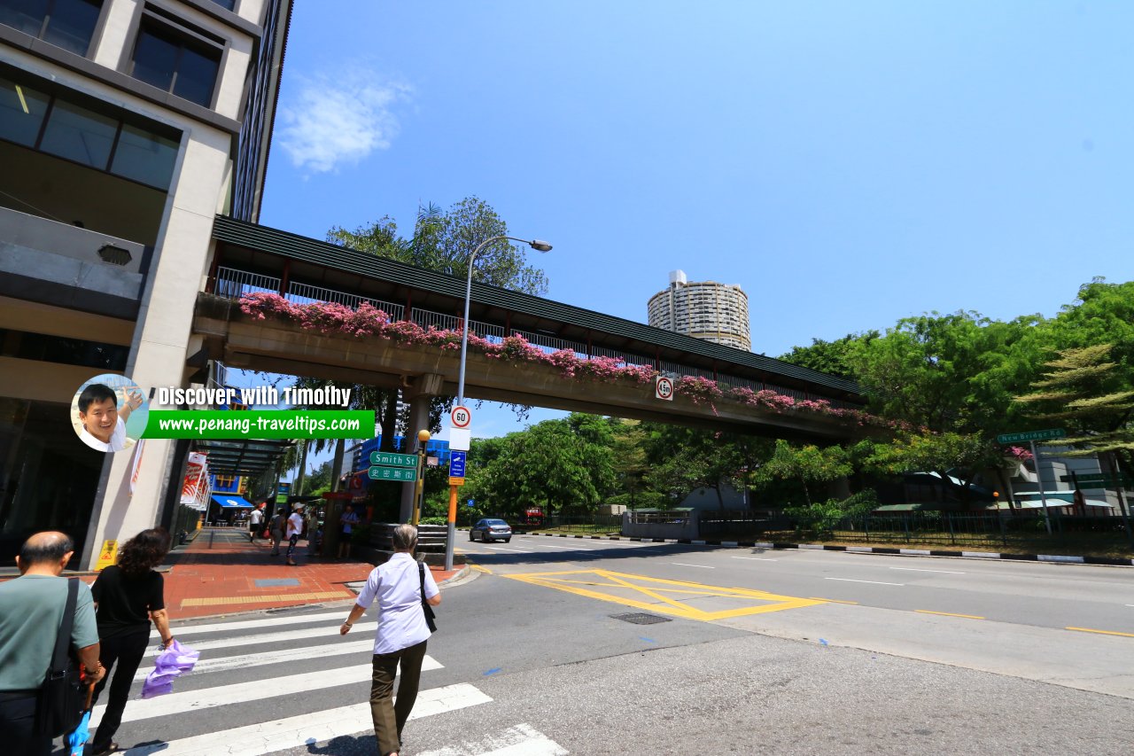
New Bridge Road is also known in Hokkien as Ji3 Ma3 Lor3 (Second Horse Way) and Gu3 Chia3 Chooi4 (Water Oxcart Road). New Bridge Road, at junction of Smith Street. (1 August 2017)
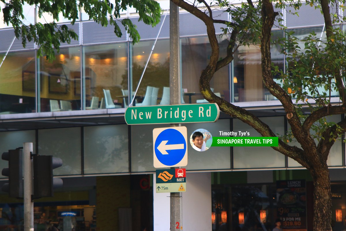
 New Bridge Road roadsign (28 July 2017)
New Bridge Road Singapore on Google Street View
New Bridge Road Singapore (Mar 2022)List of the Streets in Singapore; Discover Singapore
 Copyright © 2003-2025 Timothy Tye. All Rights Reserved.
Copyright © 2003-2025 Timothy Tye. All Rights Reserved.

 Go Back