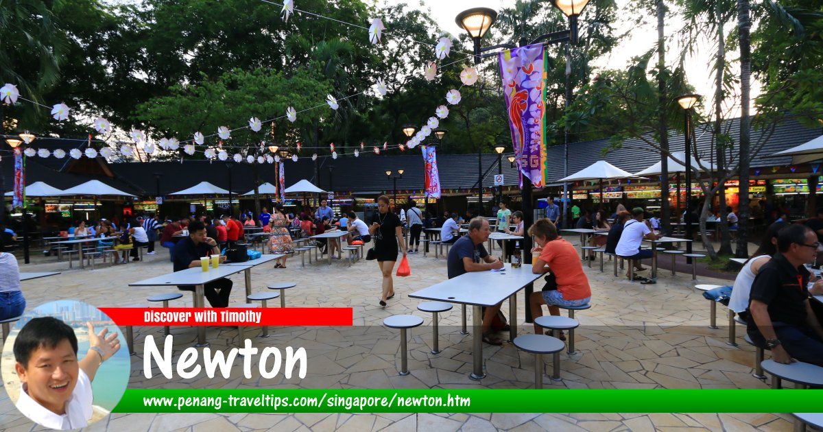
 Newton Food Centre in Newton, Singapore (27 July 2017)
Newton (Simplified Chinese: 纽顿, Traditional Chinese: 紐頓, Pinyin: Niǔdùn; Tamil: நியூட்டன்) is a planning area in the Central Region of Singapore. Covering 2.07 square kilometers, it is bordered by Novena in the north, Kallang and Rochor in the east, Museum in the south, Orchard in the south and Tanglin in the west.
Newton is located in Singapore Postal District 11.
The planning area of Newton is divided into 6 neighbourhoods, or subzones, namely Cairnhill, Goodwood Park, Istana Negara, Monk's Hill, Newton Circus and Orange Grove.
Map of Newton, Singapore
MRT Stations in Newton, Singapore
- Newton MRT Station (GPS: 1.31245, 103.83835)

Sights in Newton, Singapore
- Anderson Road
- Hullet Rise (GPS: 1.30325, 103.83834)

- Newton Food Centre (GPS: 1.31156, 103.83941)

- The Light @ Cairnhill (GPS: 1.30659, 103.83859)

- The Laurels (GPS: 1.30477, 103.83764)

- Urban Suites (GPS: 1.30345, 103.83845)

Residential Properties in Newton, Singapore
- 1 Draycott Park (GPS: 1.31011, 103.83075)

- 2 Mount Elizabeth Link (GPS: 1.30574, 103.83672)

- Ardmore Park (GPS: 1.31003, 103.82918)

- Cairnhill Crest (GPS: 1.30547, 103.83842)

- Cairnhill Plaza (GPS: 1.30633, 103.83686)

- Nouvel 18 (GPS: 1.31086, 103.82774)

- Richmond Park (GPS: 1.30505, 103.83638)

- Tan Chin Tuan Mansion (GPS: 1.30525, 103.83742)

- The Draycott (GPS: 1.31173, 103.83114)

Streets in Newton, Singapore
List of Planning Areas in Singapore and Places in Singapore; Discover Singapore
 Copyright © 2003-2025 Timothy Tye. All Rights Reserved.
Copyright © 2003-2025 Timothy Tye. All Rights Reserved.

 Go Back