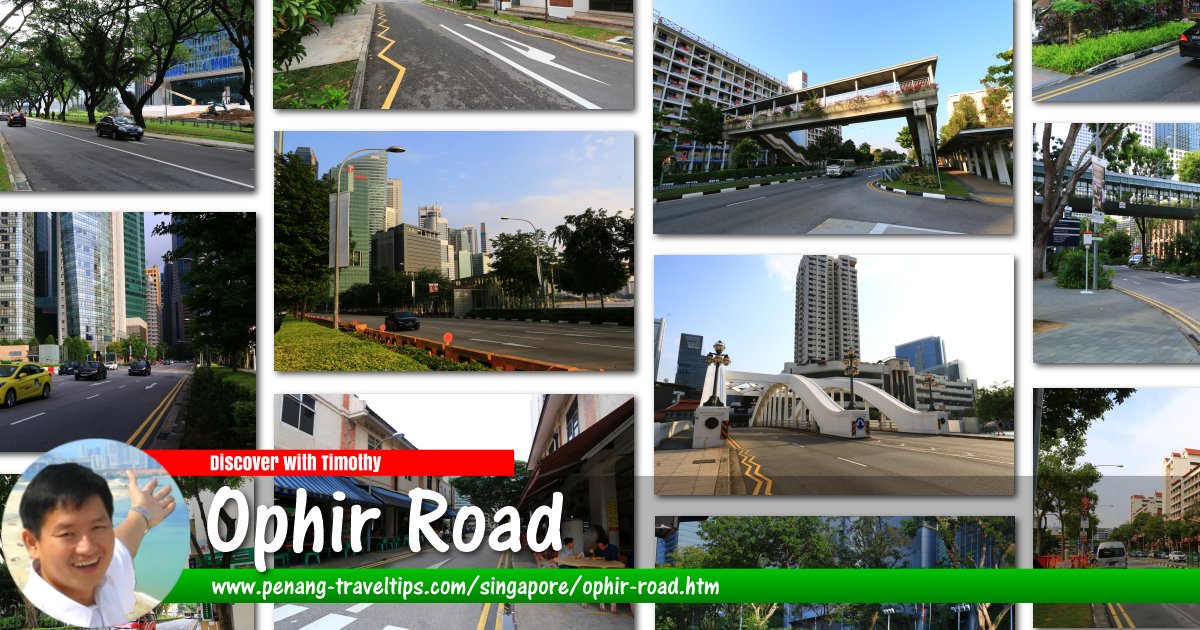
 Ophir Road, Singapore
Ophir Road is a major road in Singapore. The road forms the boundary between Rochor and Kallang in the north and Downtown Core in the south. It was named after Mount Ophir, also known as Gunung Ledang, in Johor. A one-way street, Ophir Road starts and the intersection with Jalan Besar, continuing from Sungei Road, and ends at the ramps onto the East Coast Parkway. In between, Ophir Road forms intersections with Queen Street, Victoria Street, North Bridge Road and Beach Road. There is also a junction to Republic Avenue. Ophir Road crosses over the Nicoll Highway as the Ophir Flyover.
Ophir Road is affected by the contruction of the North-South Corridor, which is planned for completion some time in 2023.
Map of Ophir Road, Singapore
Sights along Ophir Road
- Rochor Centre (GPS: 1.30257, 103.85499)

- Church of Our Lady of Lourdes (GPS: 1.30324, 103.85598)

360° View of Ophir Road Singapore on Google Street View
Start of Ophir Road, at intersection with Jalan Besar. (Jul 2016)Ophir Road, in front of Our Lady of Lourdes Church. (Jul 2016)
List of the Streets in Singapore; Discover Singapore
 Copyright © 2003-2025 Timothy Tye. All Rights Reserved.
Copyright © 2003-2025 Timothy Tye. All Rights Reserved.

 Go Back