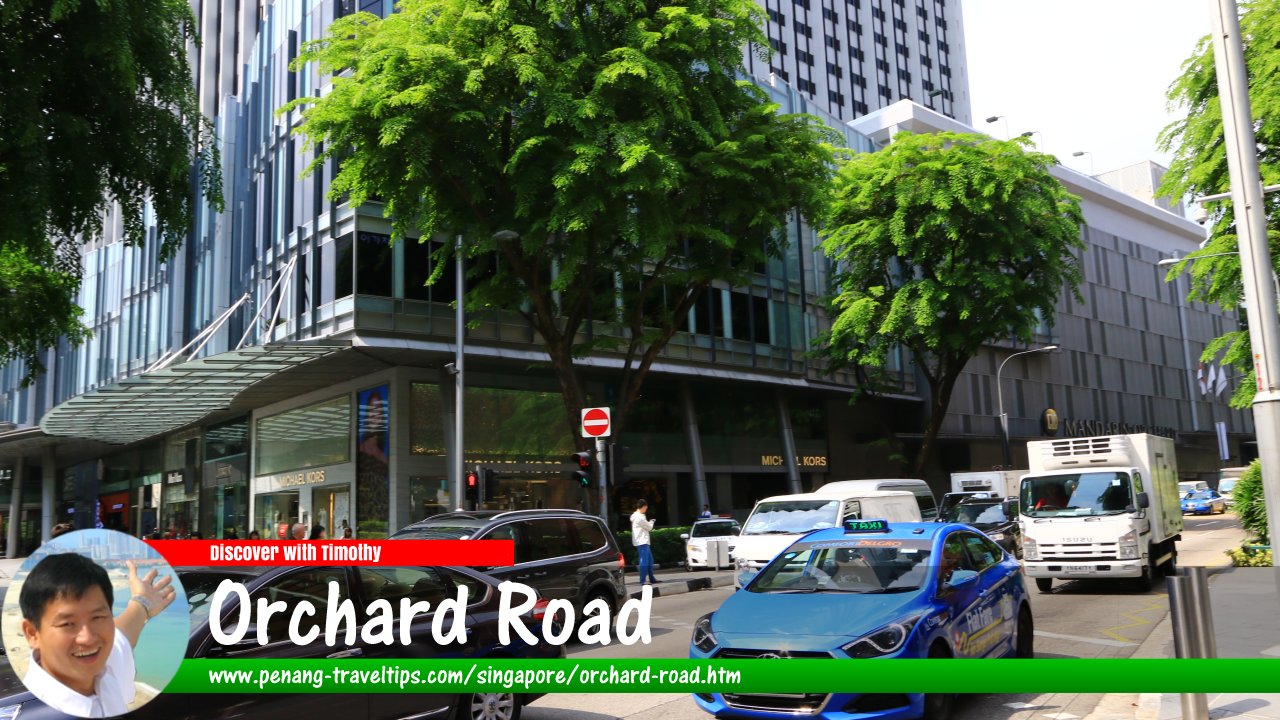
 Orchard Road, Singapore (27 July 2017)
Orchard Road (Traditional Chinese: 烏節路; Simplified Chinese: 乌节路; Pinyin: Wūjié Lù; Tamil: ஓர்ச்சர்ட் சாலை/IPA: Ōrccarṭ Cālai; Malay: Jalan Kebun) is a major road in Singapore. It is renowned as a major shopping destination. The road is known in Hokkien as Tang1lin2 Pa1sat1 Kay1 (Tanglin Market Street), and in Tamil as Vaira Kimadam (Fakir's Place). Due to the development of Singapore, Orchard Road has developed into three branches. The main branch of Orchard Road runs in an easterly direction. It continues from Tanglin Road, immediately after the junction with Orange Grove Road. From there, it continues in a single direction eastward until the intersection with Handy Road, from where it continues as Bras Basah Road.
The second branch of Orchard Road is to the south of the main branch. It begins at the intersection with Bencoolen Street and Fort Canning Road, from where it continues from Stamford Road. From there, it continues in a westerly direction until it connects to Penang Road.
The third branch of Orchard Road is a small unnamed lane off Claymore Road, parallel to the main branch. Its access junction is at Claymore Road in front of the Orchard Hotel Shopping Arcade.
There are many roads that connect to Orchard Road, whether in the form of junctions or intersections. From west to east, they are Tanglin Road, Orange Grove Road, Cuscaden Road, Claymore Road, Angullia Park, Paterson Road, Scotts Road, Mount Elizabeth, Bideford Road, Orchard Link, Grange Road, Cairnhill Road, Emerald Hill Road, Cuppage Road, Koek Road, Killiney Road, Cavenagh Road, Oxley Road, Buyong Road, Edinburgh Road, Penang Lane, Oldham Lane, Handy Road, Bras Basah Road, Penang Road, Prinsep Street, Fort Canning Road, Bencoolen Street and Stamford Road.
Orchard Road has been around for close to two hundred years, having been laid as early as 1830. It was still unnamed in the early Map of Singapore by architect George Coleman from 1836. During its early years, it was covered with plantations, originally of gambier and pepper, and later on with nutmeg and fruits. Orchard Road was named after the fruit orchards that were there in the 1840's. However, there was also a British by the name of Orchard who had his garden on the road, at the corner with Scott Road, which helped to make the name stick.
Private houses began to appear on Orchard Road from the 1860's onwards. In the 1890's, the Thai monarch King Chulalongkorn acquired an existing property, known then as Hurricane House, through the Thai Consul in Singapore, Tan Kim Cheng. A couple of adjacent properties were added to the acquisition, and this forms the site of the present Royal Thai Embassy premises at 370 Orchard Road. In the 20th century, Orchard Road began to evolve from a plantation road to a shopping street in the 1950's. Although plantation-related names still remain in the sign roads such as Nutmeg Road, Orange Grove Road and Jalan Lada Puteh ("white pepper road"), the character of Orchard Road was transforming and urbanizing.
Map of Orchard Road, Singapore
MRT Stations in and around Orchard Road
- Dhoby Ghaut MRT Station (GPS: 1.29861, 103.84573)

- Orchard MRT Station (GPS: 1.30462, 103.8319)

- Somerset MRT Station (GPS: 1.30065, 103.83844)

Hotels in and around Orchard Road
- Concorde Hotel Singapore
 (GPS: 1.30063, 103.84201)
- Grand Hyatt Singapore, Scotts Road

- Grand Park Orchard
 (GPS: 1.30321, 103.8364)
- Hilton Singapore
 (GPS: 1.30587, 103.82937)
- Hotel Jen Orchardgateway

- Mandarin Orchard Singapore (GPS: 1.30189, 103.83638)

- Orchard Hotel Singapore
 (GPS: 1.30766, 103.82855)
- Orchard Parade Hotel (GPS: 1.30667, 103.82764)

- Regent Singapore - A Four Seasons Hotel

- Shangri-la Singapore, Orange Grove Road

- Sheraton Towers, Scotts Road

- York Hotel Singapore, Mount Elizabeth

Sights along Orchard Road
- 313@Somerset (GPS: 1.30118, 103.83837)

- Abercrombie & Fitch (GPS: 1.30299, 103.83623)

- CentrePoint Shopping Centre (GPS: 1.30156, 103.83977)

- DFS Galleria
- Faber House (GPS: 1.30201, 103.83822)

- Far East Plaza
- Far East Shopping Centre (GPS: 1.30556, 103.82989)

- Forum The Shopping Mall (GPS: 1.30623, 103.82865)

- Hilton Shopping Gallery (GPS: 1.30587, 103.82937)

- International Building (GPS: 1.30616, 103.83099)

- ION Orchard (GPS: 1.30394, 103.83198)

- Istana (GPS: 1.29987, 103.84384)

- Istana Park (GPS: 1.2993, 103.84386)

- Liat Towers
- Lucky Plaza (GPS: 1.30439, 103.83408)

- MacDonald House (GPS: 1.29914, 103.84617)

- Mandarin Gallery (GPS: 1.30189, 103.83638)

- MDIS - Management Development Institute of Singapore (GPS: 1.29892, 103.84681)

- Midpoint Orchard (GPS: 1.30173, 103.8388)

- Ngee Ann City (GPS: 1.3026, 103.83453)

- OG Orchard Building (GPS: 1.30185, 103.83849)

- Orchard Building (GPS: 1.30145, 103.83725)

- Orchard Central (GPS: 1.3007, 103.83963)

- Orchard Gateway (GPS: 1.30107, 103.83889)

- Orchard Plaza (GPS: 1.30115, 103.84118)

- Orchard Point (GPS: 1.30129, 103.84056)

- Orchard Road Presbyterian Church (GPS: 1.29789, 103.84753)

- Orchard Shopping Centre (GPS: 1.30145, 103.83725)

- Orchard Towers (GPS: 1.30699, 103.82914)

- Pacific Plaza
- Palais Renaissance (GPS: 1.30671, 103.82959)

- Peranakan Place (GPS: 1.30141, 103.83929)

- Plaza Singapura (GPS: 1.30012, 103.84484)

- Royal Thai Embassy (GPS: 1.30652, 103.83037)

- Scotts Square
- Shaw House and Shaw Centre (GPS: 1.30573, 103.83165)

- SMU School of Social Sciences and Economics (GPS: 1.29789, 103.84882)

- Tang Plaza (GPS: 1.30498, 103.83299)

- The Atrium (GPS: 1.2996, 103.84556)

- The Centrepoint
- The Heeren (GPS: 1.30263, 103.8373)

- The Paragon Shopping Centre (GPS: 1.30379, 103.8355)

- Tong Building (GPS: 1.3041, 103.83484)

- Wheelock Place (GPS: 1.30474, 103.83055)

- Wisma Atria (GPS: 1.30377, 103.83316)

- YMCA Singapore (GPS: 1.29764, 103.84813)

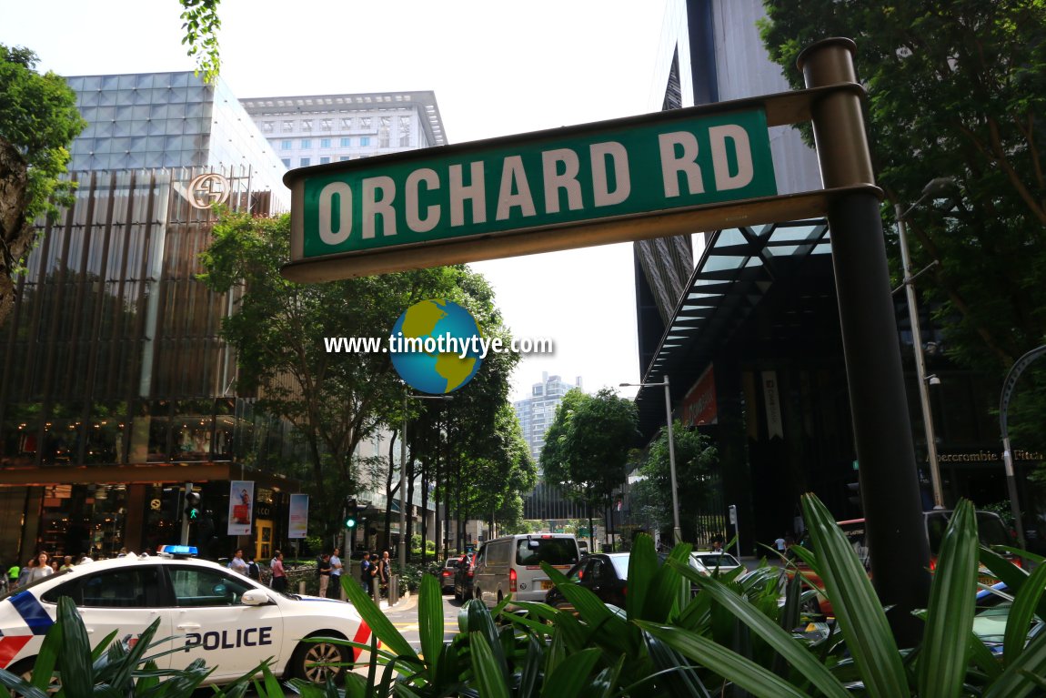 Orchard Road roadsign (27 July 2017)
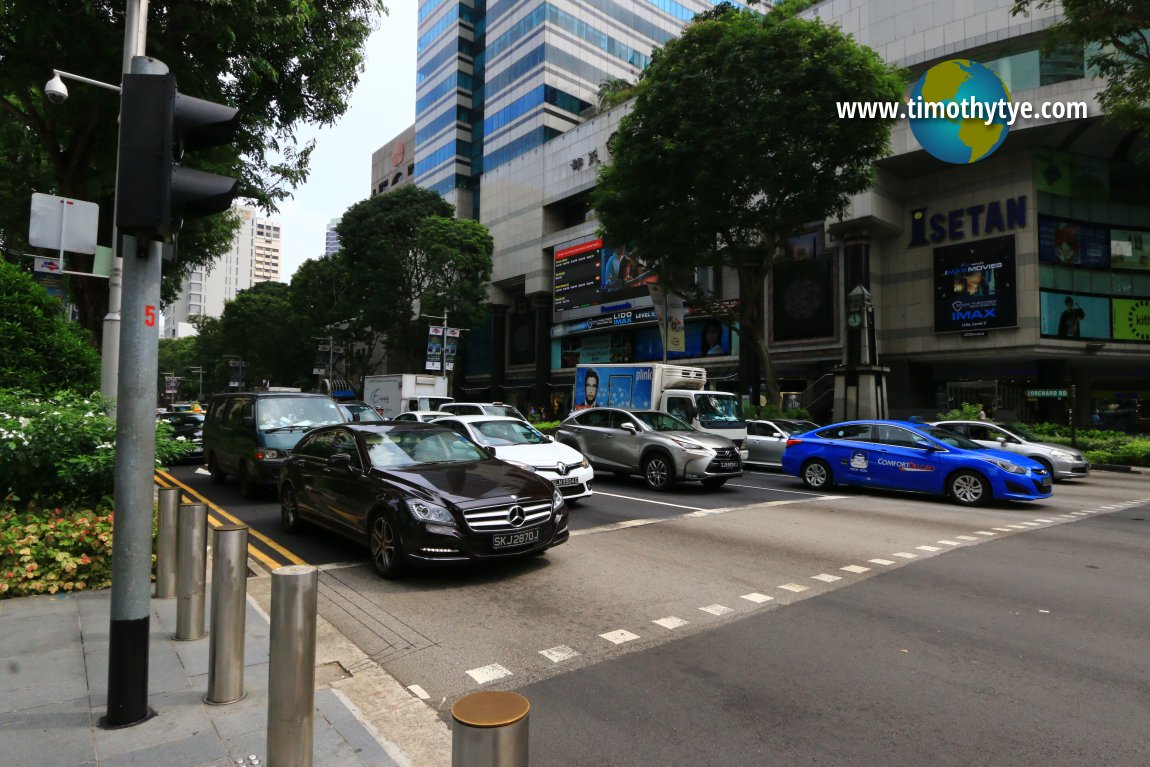 Orchard Road, at intersection with Paterson Road and Scotts Road. (27 July 2017)
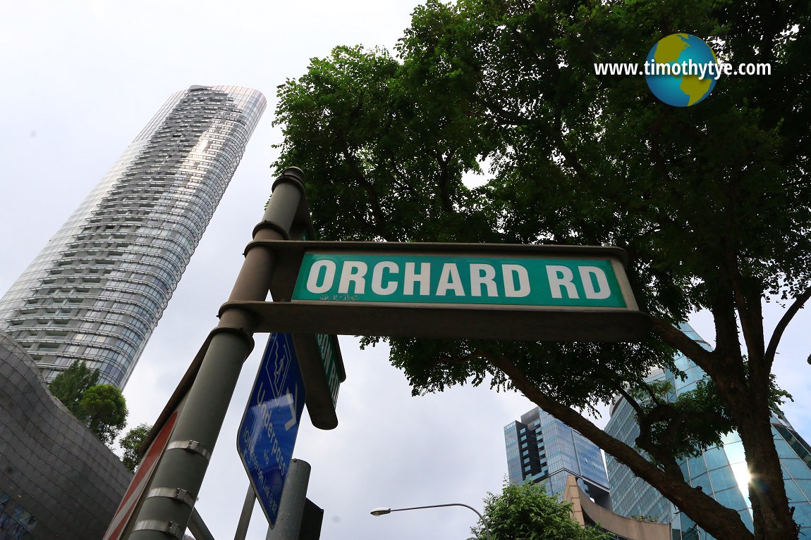 Road sign of Orchard Road at junction of Orchard Road with Paterson Road. (27 July 2017)
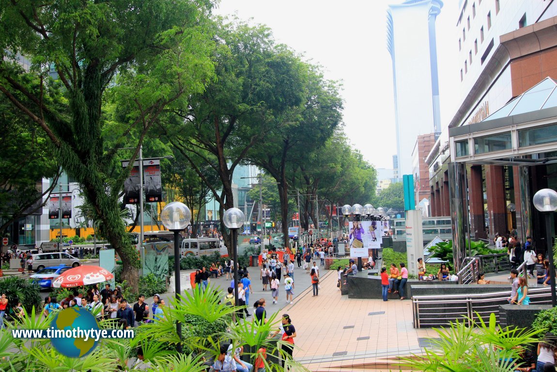 Pedestrian promenade along Orchard Road. (10 July 2011)
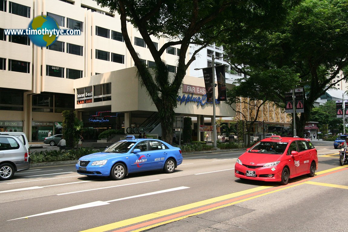 Taxis at Orchard Road. (13 September, 2010)
 Orchard Road, in front of MacDonald House. (1 August 2017)
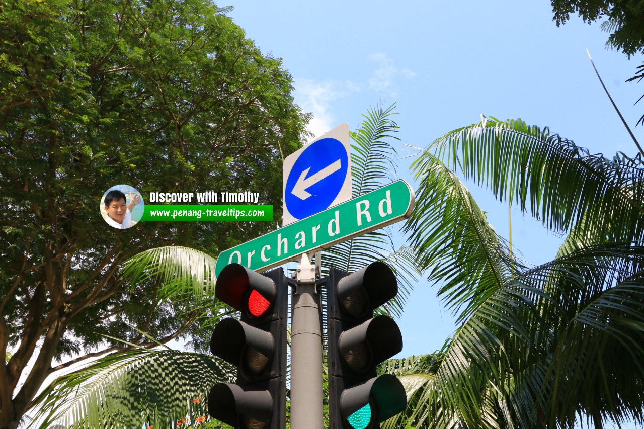 Orchard Road roadsign (1 August 2017)
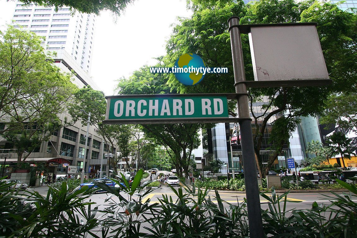 Orchard Road signage (13 September, 2010)
List of the Streets in Singapore; Discover Singapore
 Copyright © 2003-2025 Timothy Tye. All Rights Reserved.
Copyright © 2003-2025 Timothy Tye. All Rights Reserved.

 Go Back