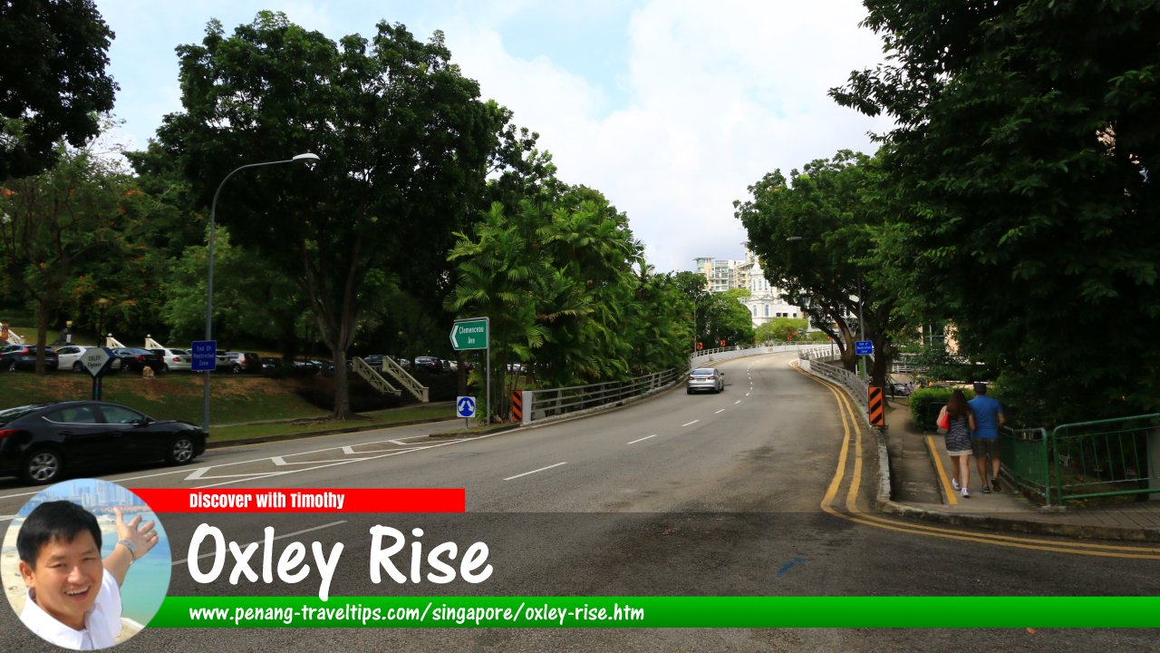
 View of the Oxley Flyover at Oxley Rise, Singapore (30 July 2017)
Oxley Rise is a road in downtown Singapore between the Museum Planning Area and River Valley. The road runs in a single direction. It starts at Bencoolen Street, with the Oxley Flyover, and ends at the intersection with Oxley Road, where it continues as Eber Road. The road passes through a leafy neighbourhood with glimpses of the Orchard Road skyscrapers.
As with Oxley Road, it was named after surgeon Thomas Oxley, who had his nutmeg plantation there in the 19th century.
Oxley Rise is located in Singapore Postal District 09.
Map of Oxley Rise, Singapore
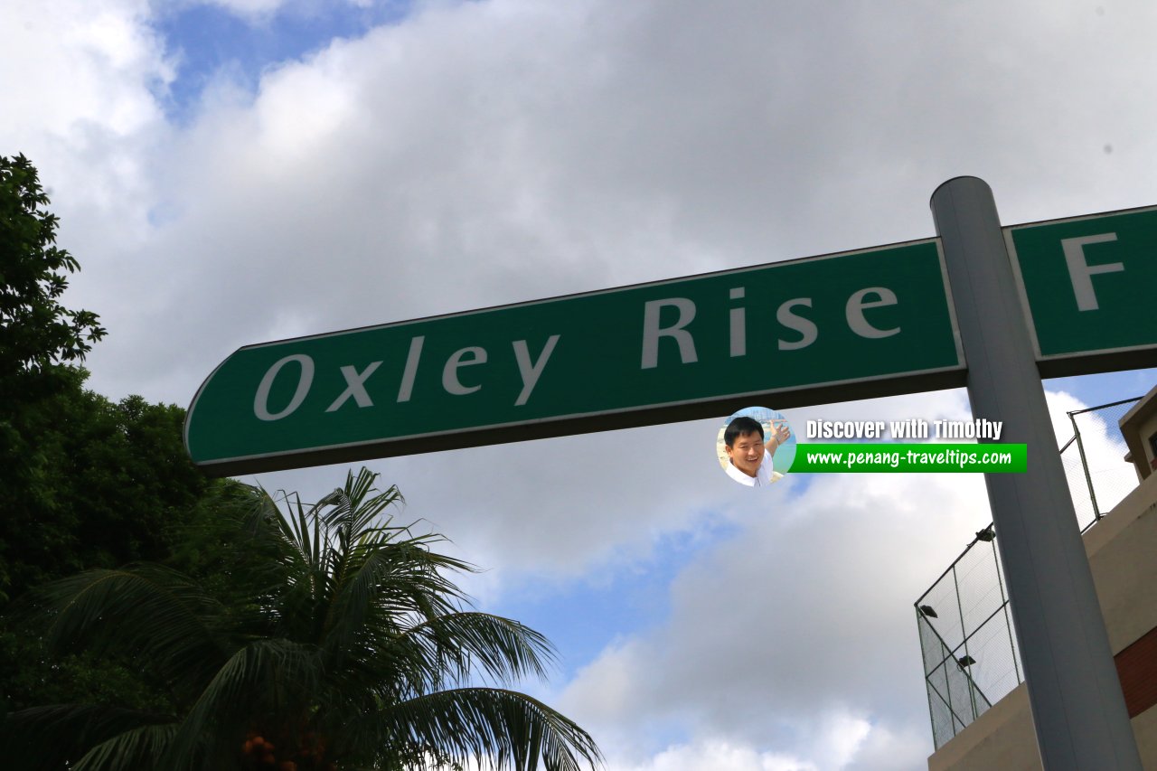
 Oxley Rise roadsign (30 July 2017)
Oxley Rise Singapore on Google Street View
Oxley Rise Singapore (Feb 2022)List of the Streets in Singapore; Discover Singapore
 Copyright © 2003-2025 Timothy Tye. All Rights Reserved.
Copyright © 2003-2025 Timothy Tye. All Rights Reserved.

 Go Back