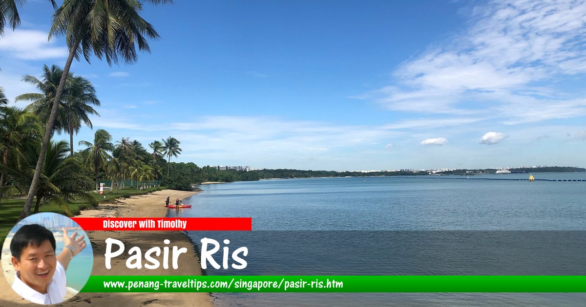
 Beach at Pasir Ris, Singapore
Wzhkevin, CC BY-SA 4.0, via Wikimedia Commons
Pasir Ris (GPS: 1.37209, 103.94737) is a township on the eastern part of Singapore. The place comprises mostly high-rise residential blocks built by the Housing and Development Board for the Pasir Ris New Town. The name Pasir Ris was first documented as Passier Reis in 1852. It is believed to be a contraction of pasir hiris, meaning "shreded sand", in reference to its sandy beach.
Pasir Ris planning area is divided into 8 neighbourhoods called subzones. These are Flora Drive, Loyang East, Loyang West, Pasir Ris Central, Pasir Ris Drive, Pasir Ris Park, Pasir Ris Wafer Fab Park and Pasir Ris West.
Map of Pasir Ris, Singapore
MRT Stations in Pasir Ris, Singapore
- Loyang MRT Station (GPS: 1.37255, 103.9726) planned

- Pasir Ris MRT Station (GPS: 1.37311, 103.94926)

- Pasir Ris East MRT Station (GPS: 1.36843, 103.9593) planned

Amenities in Pasir Ris
Due to its proximity to the sea, Pasir Ris has water-base recreational areas including chalets and theme parks. White Sands is a shopping centre in the area. There's a bowling alley at elhub.Among the schools in Pasir Ris includes Pasir Ris Primary School, Casuarina Primary School, Coral Primary School, Elias Park Primary School, Loyang Primary School, Meridian Primary Schoool, White Sands Primary School, Coral Secondary School, Greenview Secondary School, Hai Sing Catholic School, Loyang Secondary School, Pasir Ris Crest Secondary School, Siglap Secondary School and Meridian Junior College.
Places of worship in Pasir Ris includes the Al-Istighfar Mosque, Bethesda Pasir Ris Mission Church, Church of the Divine Mercy, Pentecost Methodist Church, RiverLife Church, Shalom Bible Presbyterian Church, Golden Pagoda Buddhist Temples, Kwang Hua Buddhist Monastery and Sakya Tenphel Ling Tibetan Monastery.
Getting there
Nearest MRT station is the Pasir Ris MRT Station (EW1) on the East-West Line.List of Planning Areas in Singapore and Places in Singapore; Discover Singapore
 Copyright © 2003-2025 Timothy Tye. All Rights Reserved.
Copyright © 2003-2025 Timothy Tye. All Rights Reserved.

 Go Back