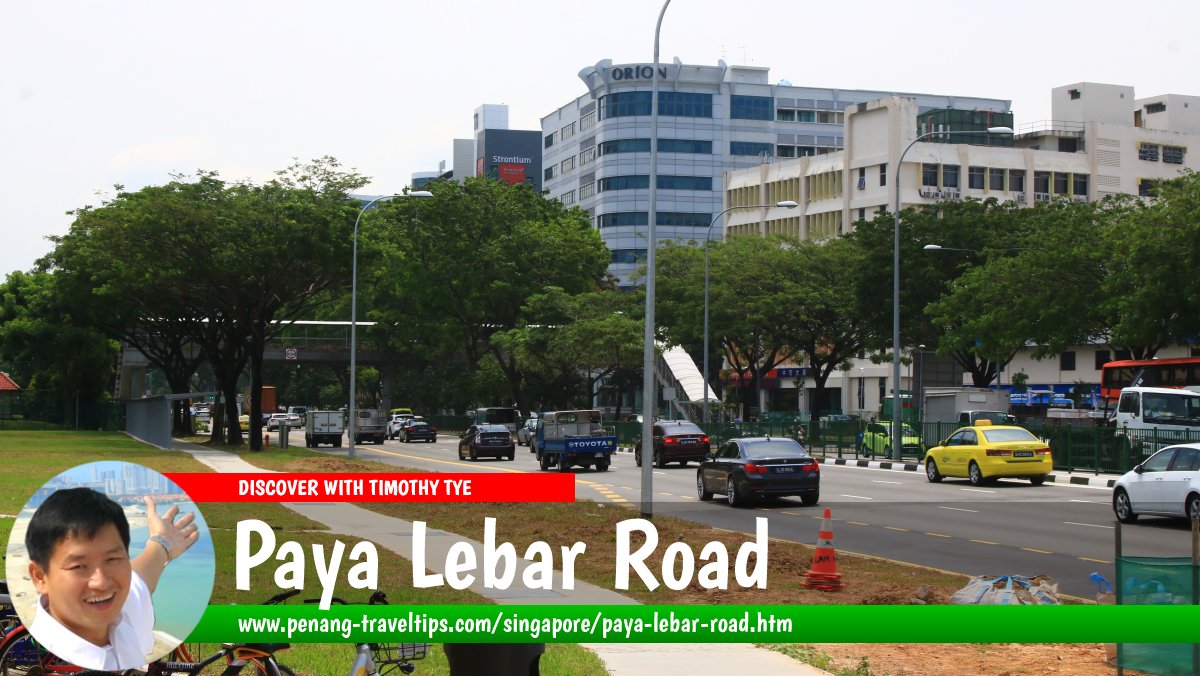
 Paya Lebar Road, Singapore (28 July 2017)
Paya Lebar Road is a major road in Geylang, Singapore. Its southern end is at the intersection with Geylang Road, across from Guillemard Road, while its northern end is at the intersection with MacPherson Road and Airport Road, across from Upper Paya Lebar Road. From south to north, it also forms intersections and T-junctions with Sims Avenue, Geylang East Central, Eunos Avenue 5, Jalan Afifi, Pan Island Expressway, Circuit Link, Ubi Avenue 2, and Ubi Avenue 3.
The name "Paya Lebar" means "wide swamp" in the Malay language, suggesting that it was possibly a swampy area in the early days. The site was drained for the construction the Paya Lebar Airport, which replaced Kallang Airport. Paya Lebar Airport functioned as a civilian airport from 1955 until 1981, when its functions were taken over by Changi Airport. Paya Lebar began converting to military use as early as 1967, and became a fully military air base from 1981. It was subsequently renamed Paya Lebar Air Base.
Despite its name, Paya Lebar Road is in Geylang rather than anywhere in the vicinity of Paya Lebar Air Base.
Map of Paya Lebar Road, Singapore
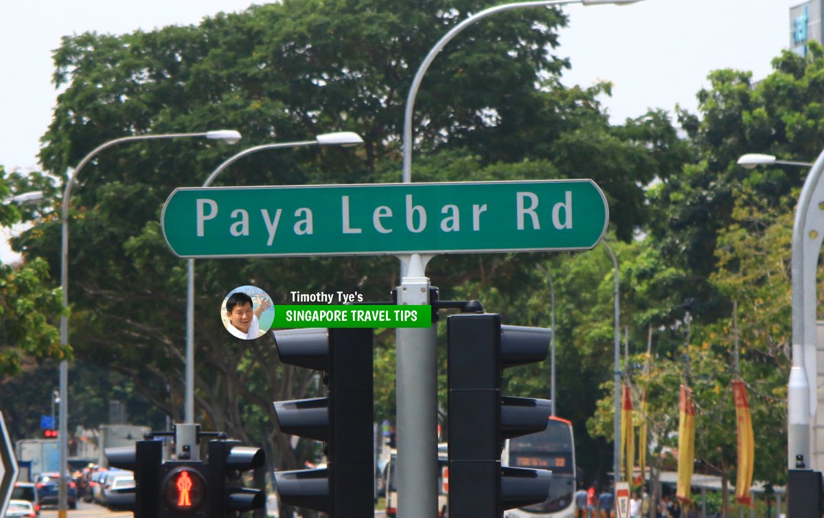
 Paya Lebar Road roadsign (28 July 2017)
Paya Lebar Road Singapore on Google Street View
Paya Lebar Road Singapore (Mar 2021)References
- Singapore Street Names - A Study of Toponymics by Victor R Savage and Brenda S.A. Yeoh (2013), ISBN 978-981-4408-35-6
List of the Streets in Singapore; Discover Singapore
 Copyright © 2003-2025 Timothy Tye. All Rights Reserved.
Copyright © 2003-2025 Timothy Tye. All Rights Reserved.

 Go Back