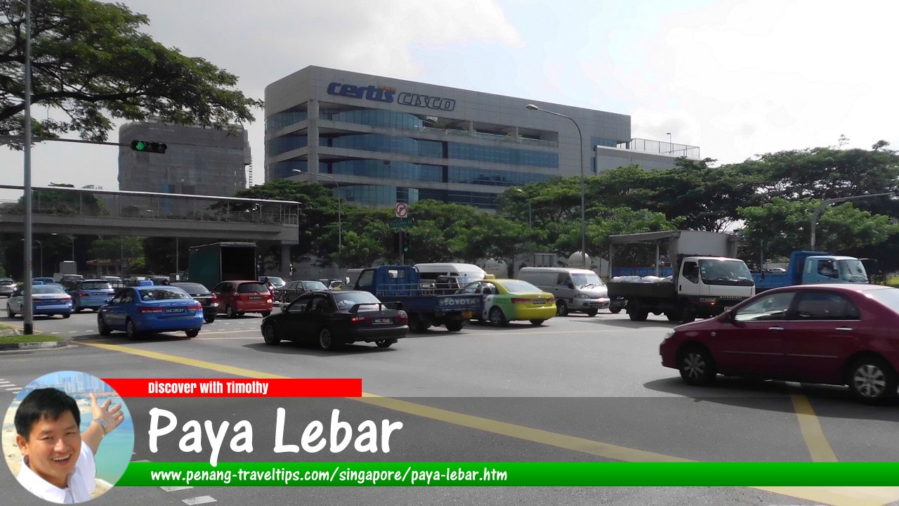
 Paya Lebar, Singapore
Mezanur Rahman, CC BY 3.0, via Wikimedia Commons
Paya Lebar
 (GPS: 1.3516, 103.89951) is a place in central eastern Singapore. The name Paya Lebar means "wide swamp", recalling a time past when there was indeed a swamp here, beside the Kallang River. Since then, the area has been drained and developed.
Paya Lebar is located in Singapore Postal District 14.
The former Paya Lebar Airport was the main civilian airport for Singapore, operating from 1955 until the opening of Changi Airport in 1981.
The present Paya Lebar planning area is bordered by Pasir Ris to the north, Tampines to the east, Bedok to the south, and Hougang to the west. It is divided into 5 neighbourhoods, or subzones, called Airport Road, Paya Lebar East, Paya Lebar North, Paya Lebar West and Plab. Curiously, Paya Lebar Road is not in Paya Lebar itself, but in Geylang.
Map of Paya Lebar, Singapore
Getting there
The Paya Lebar MRT Station (EW8/CC9) is actually located outside the Paya Lebar planning area. The nearest MRT station is the Kembangan MRT Station.List of Planning Areas in Singapore and Places in Singapore; Discover Singapore
 Copyright © 2003-2025 Timothy Tye. All Rights Reserved.
Copyright © 2003-2025 Timothy Tye. All Rights Reserved.

 Go Back