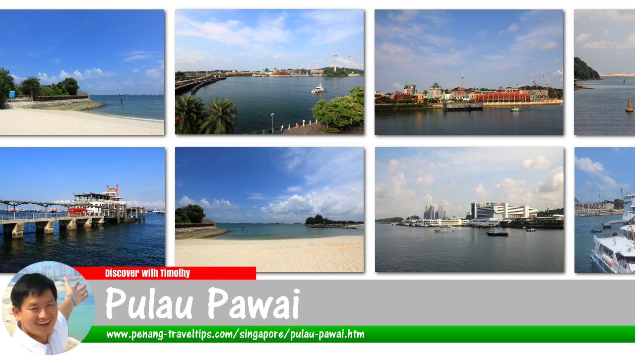
 Pulau Pawai, Singapore
Pulau Pawai
 (GPS: 1.18858, 103.72407) is an island in the Singapore Straits, about 10 km to the south of mainland Singapore. It is located between Pulau Sudong to the north and Pulau Satumu to the south.
Pulau Pawai was known as Alligator Island during colonial times. It measures 182,000 sq meters. The island, along with Pulau Sudong and Pulau Senang are used by the Singapore Armed Forces for live ammunition training. As such it is strictly off limits to casual visits.
Map of Pulau Pawai, Singapore
Pulau Pawai is  on the Map of Islands of Singapore
List of Islands of Singapore; Discover Singapore
 Copyright © 2003-2025 Timothy Tye. All Rights Reserved.
Copyright © 2003-2025 Timothy Tye. All Rights Reserved.

 Go Back