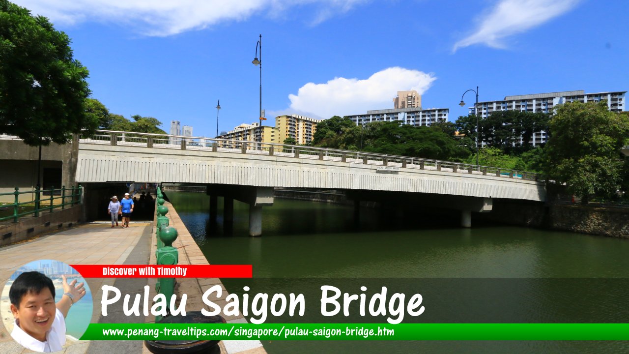
 Pulau Saigon Bridge, Singapore (30 July 2017)
Pulau Saigon Bridge
 (GPS: 1.28937, 103.83802) is a 43-metre-long bridge across the Singapore River. It is located within the Singapore River Planning Area. The present bridge conveys Saiboo Street across the river, to link with Havelock Road. However, the present Pulau Saigon Bridge is not the original bridge of that name.
The original Pulau Saigon Bridge connects Pulau Saigon, an island within the Singapore River, to the Singapore mainland. It was built in 1890, but demolished in 1986 to make way for the construction of the Central Expressway.
Pulau Saigon itself appeared in maps as early as 1939, when it was shown to be a mangrove marsh within the river. The name Kampong Saigon first appeared in 1878. In 1991, the waters separating Pulau Saigon from the Singapore mainland was filled in, turning the erstwhile island into part of the southern bank of the Singapore River.
In 1997, a concrete bridge was built on Saiboo Street, and was given the name Pulau Saigon Bridge.
Taking the MRT to Pulau Saigon Bridge
The nearest MRT station is the Havelock MRT Station (TE16), which is 600 meters away on foot.Pulau Saigon Bridge is  on the Map of Singapore River Planning Area
Pulau Saigon Bridge is  on the Map of Bridges in Singapore
Pulau Saigon Bridge Singapore on Google Street View
Pulau Saigon Bridge Singapore (date)List of Bridges in Singapore; Discover Singapore
 Copyright © 2003-2025 Timothy Tye. All Rights Reserved.
Copyright © 2003-2025 Timothy Tye. All Rights Reserved.

 Go Back