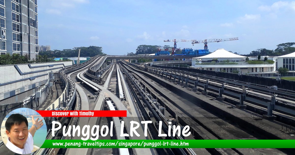
 Punggol LRT Line, Singapore
zhenkang, CC BY-SA 4.0, via Wikimedia Commons
Punggol LRT Line is a 10.3 km light rail transit system in Punggol, Singapore. It is similar to the Sengkang LRT Line. It began operations on 29 January 2005, the same day as the West Loop of the Sengkang LRT Line. Initially only the East Loop was in operation. The West Loop went into operation in stages on 29 June 2014.
The Punggol LRT Line presently caters to residents of the Punggol planning area, which is still not highly populated. Nonetheless, the LRT line was put in place in anticipation of Punggol becoming a new town area housing over a hundred thousand people.
The Punggol LRT station is located right above the Punggol MRT Station (NE17), enabling commuters to change from the mass rapid transit to the light rapid transit.
Map of Punggol LRT Line, Singapore
The Punggol LRT Line is colour-coded grey.Stations on the Punggol LRT Line
- Punggol MRT Station CP4/NE17/PTC (GPS: 1.4052, 103.90225)

- Cove LRT Station PE1 (GPS: 1.39921, 103.90629)

- Meridian LRT Station PE2 (GPS: 1.39679, 103.90916)

- Coral Edge LRT Station PE3 (GPS: 1.39386, 103.91273)

- Riviera LRT Station PE4 (GPS: 1.39474, 103.91632)

- Kadaloor LRT Station PE5 (GPS: 1.3996, 103.91661)

- Oasis LRT Station PE6 (GPS: 1.40163, 103.9137)

- Damai LRT Station PE7 (GPS: 1.40567, 103.908)

- Sam Kee LRT Station PW1 (GPS: 1.40976, 103.90489)

- Teck Lee LRT Station PW2 (GPS: 1.41275, 103.90656)

- Punggol Point LRT Station PW3 (GPS: 1.41687, 103.90669)

- Samudera LRT Station PW4 (GPS: 1.41587, 103.90216)

- Nibong LRT Station PW5 (GPS: 1.41186, 103.90035)

- Sumang LRT Station PW6 (GPS: 1.40851, 103.89853)

- Soo Teck LRT Station PW7 (GPS: 1.40534, 103.89728)

Return to Singapore MRT; Discover Singapore
 Map of Singapore MRT

Copyright © 2003-2025 Timothy Tye. All Rights Reserved.

 Go Back