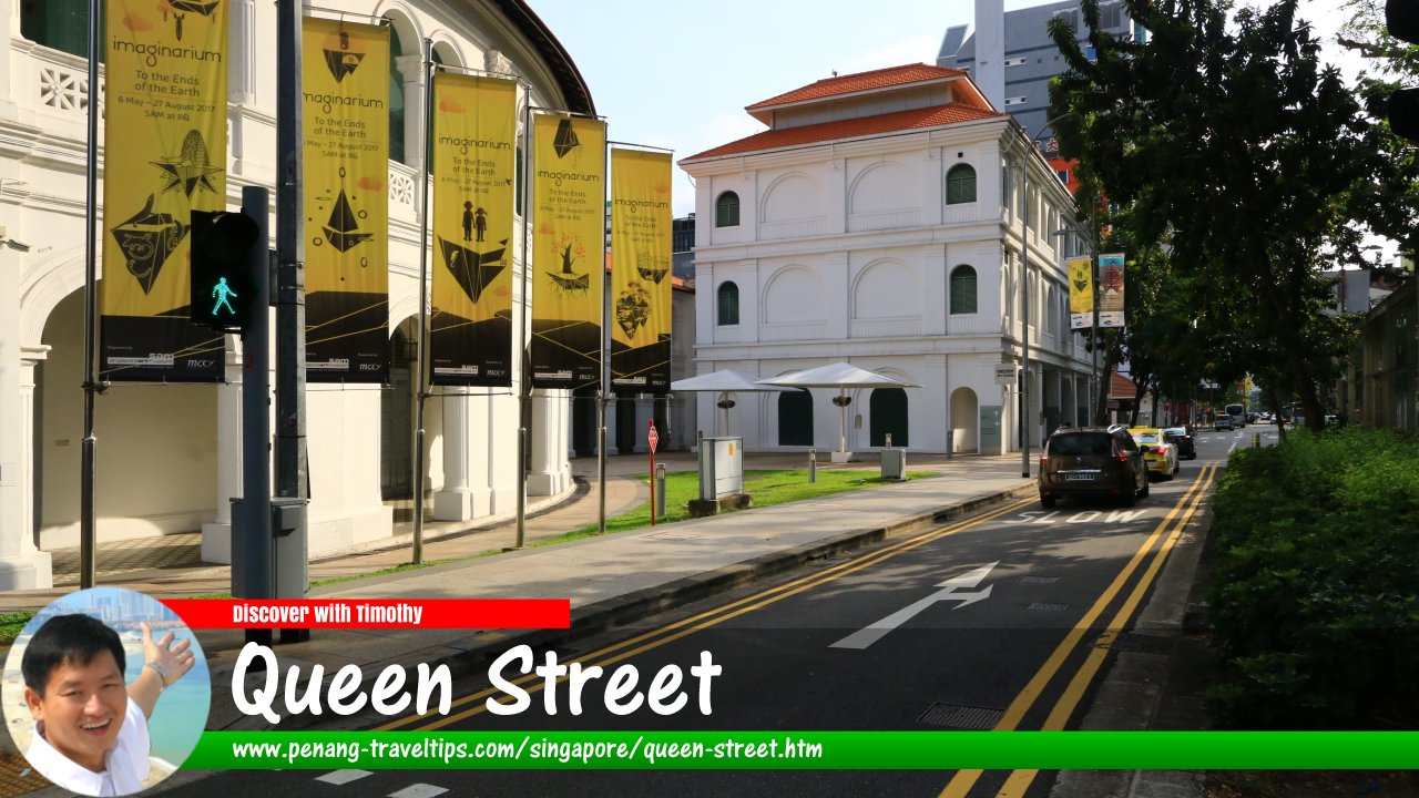
 Queen Street, Singapore (30 July 2017)
Queen Street (Chinese: 奎因街, Pinyin: Kuí Yīn Jiē) is a minor road in Rochor, Singapore. Part of the street crosses through the Downtown Core Planning Area. One of the oldest streets in the city, it covers a long distance beginning at the junction with Arab Street in the northeast, and ending at the intersection with Stamford Road (where it continues as Armenian Street).
Due to its length, Queen Street has a complicated traffic flow. From Arab Street until the turning in to Fu Lu Shou Complex parking lot, the traffic flow is in a single direction heading south. Here', it is crossed by Ophir Road and Rochor Road. Between Fu Lu Shou Complex and the Singapore Management University, it is in two directions, but approaching Bras Basah intersection, it is reduced to one direction going north. From the intersection of Stamford Road to the intersection of Bras Basah Road, traffic on Queen Street is also in one direction, heading north.
Many roads branch out from Queen Street. They include the pedestrianised Albert Street, Cheng Yan Place, Manila Street, Middle Road, and Waterloo Link, among others. As with the adjacent Victoria Street, Queen Street is believed to have been named after Queen Victoria, if not Queen Charlotte. It was an enclave for Eurasians in the 19th century, and today, we can still see the Catholic churches and schools that they built in the area, among them the Church of St Peter & St Paul, St Joseph's Institution (new the Singapore Art Museum) and the Catholic High School.
The section of Queen Street between Bras Basah Road and Middle Road underwent a makeover in 2014, as it is remodelled to become the art and cultural precinct. This is centred on St Joseph's Institution, which was given a new life at the Singapore Art Museum.
Map of Queen Street, Singapore
Sights along Queen Street
- Albert Centre (GPS: 1.30103, 103.85408)

- Auston Institute of Management (GPS: 1.30305, 103.85611)

- BOC Plaza (GPS: 1.29918, 103.85269)

- Bugis+ (GPS: 1.29961, 103.85415)

- Bugis Village (GPS: 1.30089, 103.85522)

- Cathedral of the Good Shepherd (GPS: 1.29609, 103.85118)

- Catholic Centre (GPS: 1.29852, 103.85156)

- Cheng Yan Court (GPS: 1.30042, 103.85364)

- China Cultural Centre (GPS: 1.29814, 103.85198)

- Church of Saints Peter & Paul (GPS: 1.29762, 103.85155)

- Fu Lu Shou Complex (GPS: 1.30144, 103.85446)

- Grace (SCC) Church (GPS: 1.29786, 103.85236)

- Hotel Royal @ Queens (GPS: 1.29759, 103.85214)

- ICB Enterprise House (GPS: 1.29927, 103.8535)

- Kum Yan Methodist Church (GPS: 1.29699, 103.85174)

- Le Danz (GPS: 1.29779, 103.85173)

- Lee Kong Chian School of Business (GPS: 1.2953, 103.85048)

- Little Red Dot (GPS: 1.30039, 103.85437)

- Mercure Singapore Bugis (GPS: 1.29966, 103.85301)

- National Design Centre (GPS: 1.2987, 103.85329)

- NTUC (GPS: 1.29664, 103.85168)

- Oxford Hotel (GPS: 1.29792, 103.85186)

- Queen Street/Rochor Road Car Park (GPS: 1.30252, 103.85506)

- Queen Street Bus Terminal (GPS: 1.30339, 103.85658)

- Rochor Centre (GPS: 1.30252, 103.85506)

- SAM at 8Q (GPS: 1.29735, 103.85199)

- Singapore Art Museum (GPS: 1.29734, 103.85101)

- SMU School of Accountancy (GPS: 1.29581, 103.8497)

- St Joseph's Church (GPS: 1.29843, 103.85301)

- The SMU Shop (GPS: 1.29625, 103.85014)

- Waterloo Centre (GPS: 1.29869, 103.85213)

- Wilby Central (GPS: 1.29804, 103.85259)

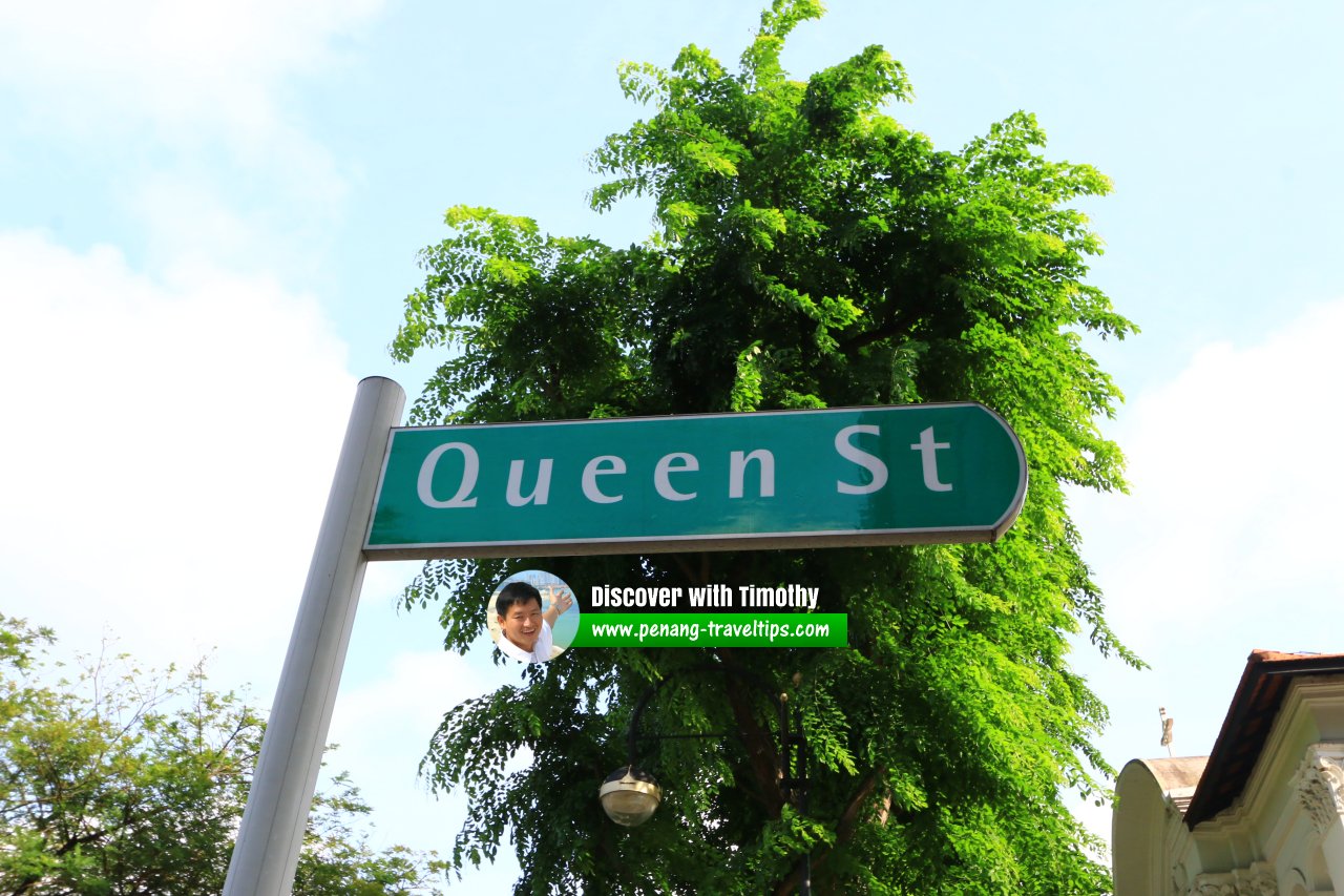
 Queen Street roadsign (30 July 2017)
Queen Street Singapore on Google Street View
Queen Street Singapore (Apr 2022)List of the Streets in Singapore; Discover Singapore
 Copyright © 2003-2025 Timothy Tye. All Rights Reserved.
Copyright © 2003-2025 Timothy Tye. All Rights Reserved.

 Go Back