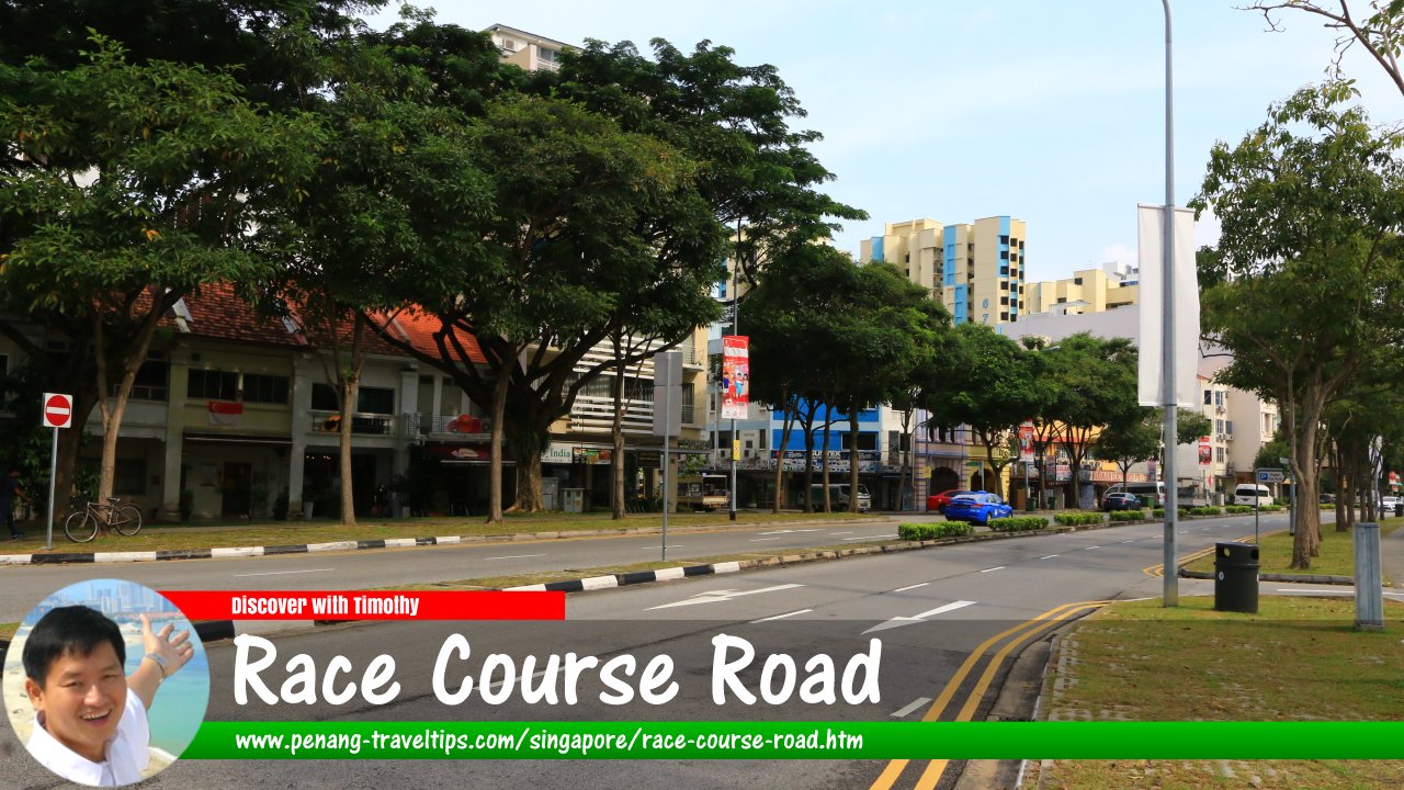
 Race Course Road, Singapore (26 July 2017)
Race Course Road is a road in Farrer Park, in the Rochor Planning Area of Singapore. It is just north of Singapore's Little India, and carries some spillover from that neighbourhood.
In its present incarnation, Race Course Road has been fragmented into two parts. The southern part of the road connects Bukit Timah Road in the south to Tessensohn Road, at the intersection with Rangoon Road, in the north. In between, it forms junctions with Kerbau Road, Tekka Lane, Hampshire Road, Rotan Lane, Race Course Lane, Kinta Road, Roberts Lane, Gloucester Road and Birch Road.
The northern portion of Race Course Road connects Rangoon Road to Balestier Road, and is intersected by Perumal Road.
As would be expected, Race Course Road got its name because there was once a race course in the area. That race course area, which is occupied today by Farrer Park, was established earlier than 1824, because according to Singapore Street Names1, that was the year it was renamed as Singapore Turf Club. It left that area a long time ago - it moved to Bukit Timah in 1935. The area was then occupied by the Singapore Golf Club, but it too moved to Bukit Timah, becoming the Race Course Golf Club.
Race Course Road was known in Hokkien as Phau1 Bae1 Por3 Hang33 跑馬埔巷
 , meaning "race course lane". In 1951, the road was almost renamed, to Princess Elizabeth Avenue, after the Princess Elizabeth flats facing it, considering the race course was no longer in the area. However, Municipal President T.P.F. McNiece decided that the original name be retained for its historical reminder of the race course that was once in that area.
Map of Race Course Road, Singapore
Sights along Race Course Road
- Beo San Hood Chor Temple (GPS: 1.31616, 103.85785)

- City Loft (GPS: 1.31496, 103.85656)

- Covenant House Presbyterian Church (GPS: 1.30933, 103.85184)

- Foochow Methodist Church (GPS: 1.30905, 103.85162)

- Gayatri Restaurant (GPS: 1.30956, 103.85205)

- Hock Siew Tong (GPS: 1.3068, 103.84952)

- Land Transport Authority, Hampshire Office (GPS: 1.30781, 103.84897)

- Little India MRT Station (GPS: 1.3068, 103.84952)

- Leong San See Temple (GPS: 1.3152, 103.85683)

- Race Course Building (GPS: 1.31581, 103.85743)

- Sakya Muni Buddha Gaya Temple (GPS: 1.31473, 103.85695)

- Sri Srinivasa Perumal Temple (GPS: 1.31369, 103.85585)

- Tekka Centre (GPS: 1.3068, 103.84952)

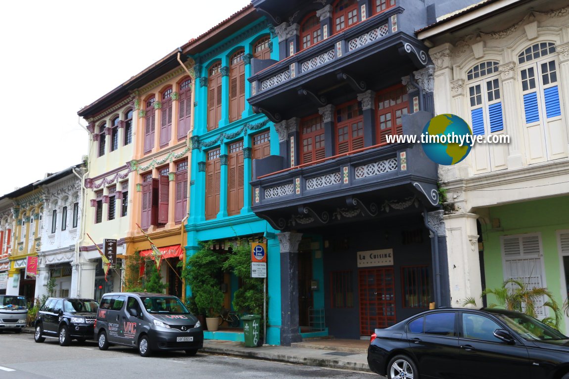 Beautiful pre-war buildings on Race Course Road, Singapore. (26 July 2017)
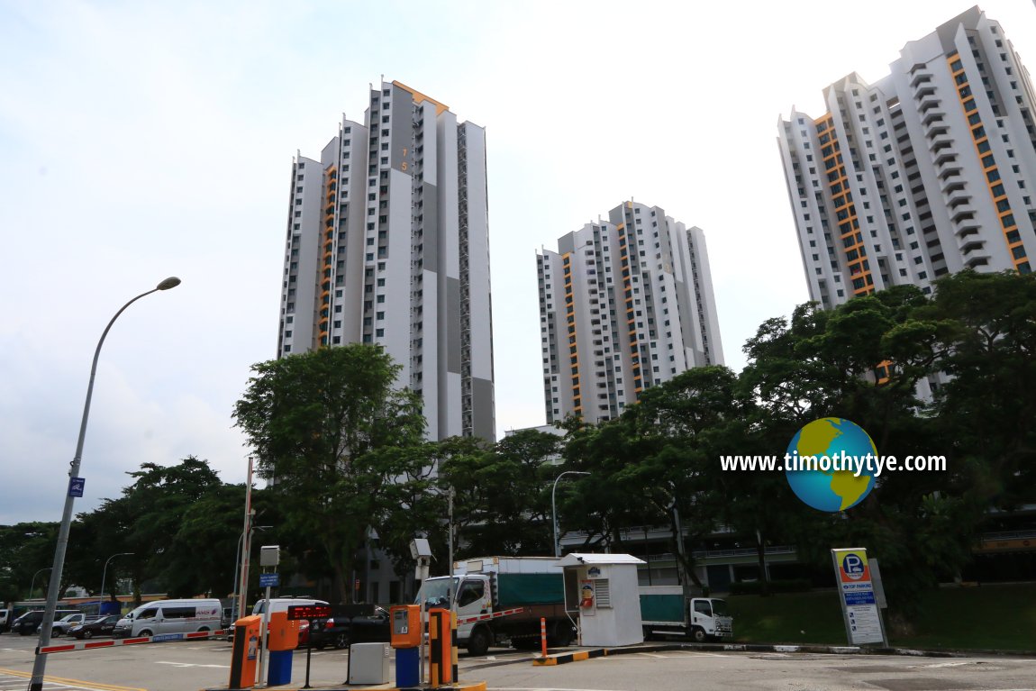 Farrer Park Apartments (26 July 2017)
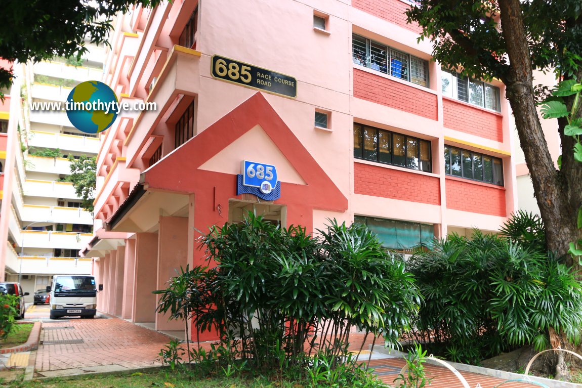 HDB Flats on Race Course Road (but viewed from Serangoon Road) (26 July 2017)
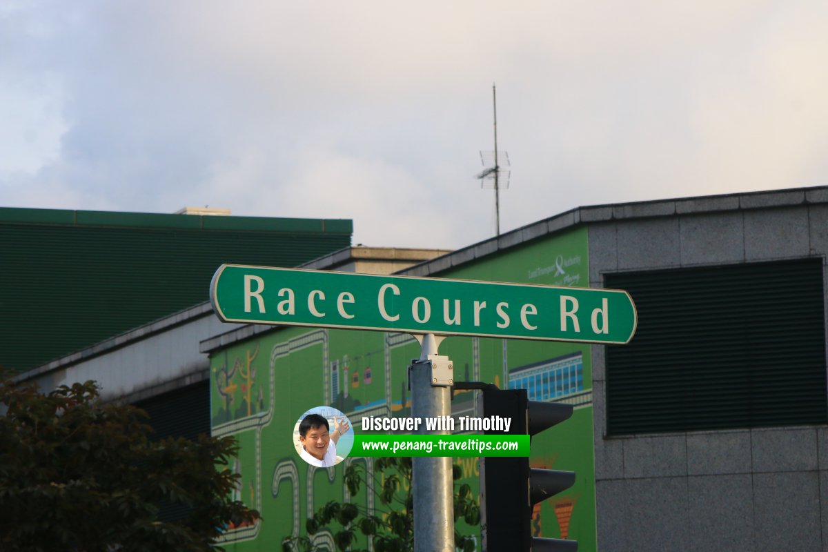 Race Course Road roadsign (30 July 2017)
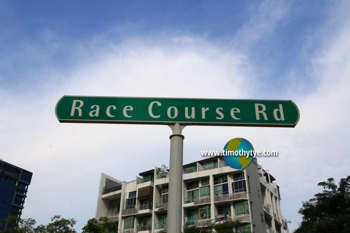 Race Course Road roadsign (26 July 2017)
Race Course Road Singapore on Google Street View
Race Course Road (Aug 2022)References
- Singapore Street Names - A Study of Toponymics by Victor R Savage and Brenda S.A. Yeoh (2013), ISBN 978-981-4408-35-6, page 318
List of the Streets in Singapore; Discover Singapore
 Copyright © 2003-2025 Timothy Tye. All Rights Reserved.
Copyright © 2003-2025 Timothy Tye. All Rights Reserved.

 Go Back