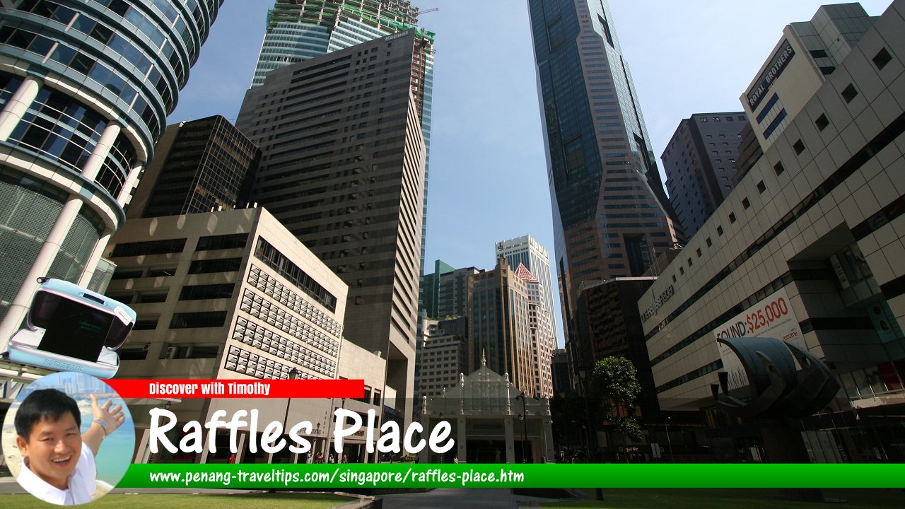
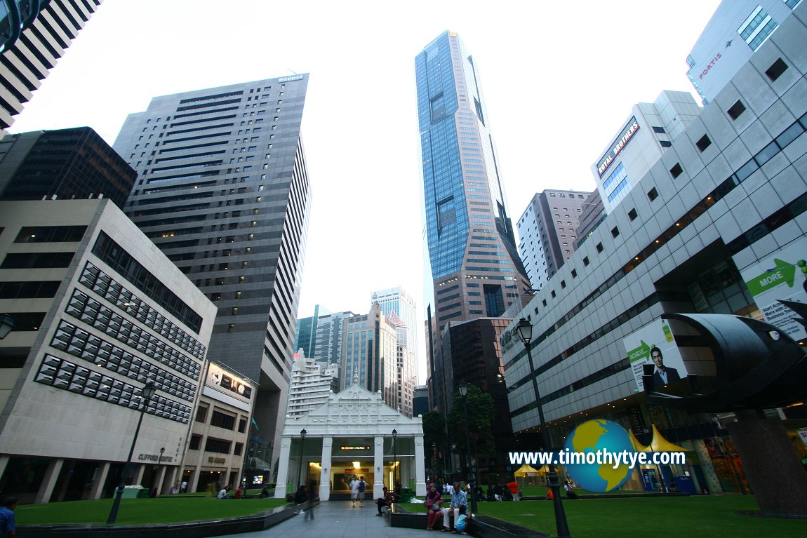
 Raffles Place, Singapore (11 September, 2010)
Raffles Place (GPS: 1.28393, 103.85145) is a subzone or neighbourhood of Downtown Core, Singapore. It is a pedestrianised courtyard that runs from Battery Road in the north to Collyer Quay to the south, not as a vehicular road, but a pedestrianised mall. Part of it parallels with D'Almeida Street.
Raffles Place is located in Singapore Postal District 01 and 02.
The Raffles Place subzone is bordered by the Singapore River, Battery Road, Collyer Quay, Raffles Quay, Cross Street, Teluk Ayer Street, Church Street and Philip Street.
Raffles Place is at the heart of the Central Business District of Singapore. It is located on the south bank of the Singapore River, at the northern end of Singapore's Financial District, which stretches from Fullerton Road in the north to Anson Road in the south.
The site of Raffles Place was also planned as early as 1822, when Stamford Raffles commissioned the Jackson Plan for Singapore. At that time, there was a hillock in the area. The hillock was leveled, and the soil used for reclamation work that created Fullerton Point, the area where the Fullerton Hotel is located.
The area was then called Commercial Square. Merchantile buildings were erected in this area - none of which survive today. Being the most important piece of real estate on the island, Commercial Square was built and rebuilt through the subsequent two hundred years.
Commercial Square was renamed Raffles Place in 1858. At that time, Singapore harbour was still receiving steamships which came close to shore along the southern coast, areas which today has been reclamed to form the New Downtown of Singapore.
The boisterous economic growth experienced by Singapore in the post-independent years resulted in a total transformation of Raffles Place into the quintessential concrete jungle. Today it is bordered by three of the tallest skyscrapers in the city, OUB Centre, UOB Plaza and Republic Plaza, all reaching the maximum permissible height for the city.
Map of Raffles Place, Singapore
Sights at Raffles Place
- 16 Collyer Quay (GPS: 1.28421, 103.8526)

- AIA Tower (GPS: 1.28189, 103.85112)

- Bank of China Building (GPS: 1.28561, 103.85197)

- CapitaGreen (GPS: 1.28181, 103.85009)

- Chevron House (GPS: 1.28408, 103.85211)

- Hong Leong Building (GPS: 1.28134, 103.85096)

- Grace Global Raffles (GPS: 1.28226, 103.85046)

- IOB Building (GPS: 1.28202, 103.84945)

- Maybank Tower (GPS: 1.28586, 103.85238)

- Ocean Financial Centre (GPS: 1.28312, 103.85199)

- One Raffles Place (GPS: 1.28437, 103.85098)

- Republic Plaza (GPS: 1.2831, 103.85097)

- Raffles Place MRT Station (GPS: 1.28424, 103.85152)

- Singapore Land Tower (GPS: 1.28472, 103.85209)

- The Quadrant At Cecil (GPS: 1.28241, 103.85049)

- UOB Plaza 1 (GPS: 1.28241, 103.85049)

- UOB Plaza 2 (GPS: 1.28546, 103.8507)

Getting there
The Raffles Place MRT Station (EW14/NS26) is served by the East-West Line and North-South Line. Raffles Place, Singapore (8 July 2006)
List of Places in Singapore; Discover Singapore
 Copyright © 2003-2025 Timothy Tye. All Rights Reserved.
Copyright © 2003-2025 Timothy Tye. All Rights Reserved.

 Go Back