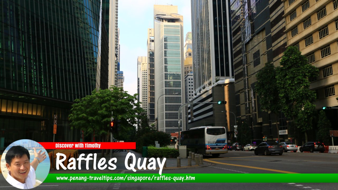
 Raffles Quay, Singapore (27 July 2017)
Raffles Quay is a major road in downtown Singapore. It covers a short stretch between Collyer Quay and Shenton Way, between the intersections of Finlayson Green/Marina Boulevard and Boon Tat Street/Commerce Street. It is one of the roads and places named after Stamford Raffles, the founder of Singapore.
Map of Raffles Quay, Singapore
Sights along Raffles Quay
- 6 Raffles Quay (GPS: 1.28187, 103.85141)

- Ascott Raffles Place Singapore (GPS: 1.28207, 103.85153)

- Hong Leong Building (GPS: 1.28137, 103.85096)

- Lau Pa Sat (GPS: 1.28049, 103.85048)

- One Raffles Quay (GPS: 1.2812, 103.85173)

Taking the MRT to Raffles Quay
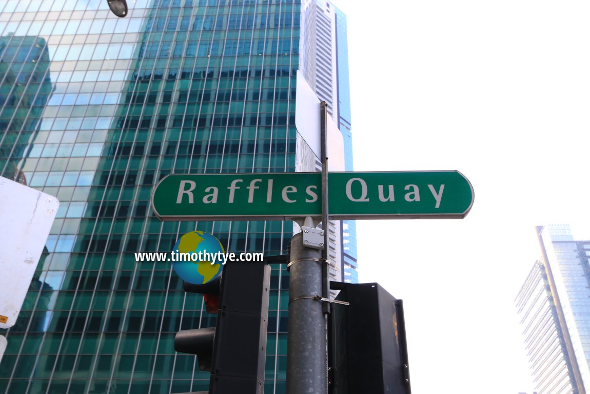
Take the North-South Line or the East-West Line of the Singapore MRT to the Raffles Place MRT Station. Raffles Quay road sign (27 July 2017)
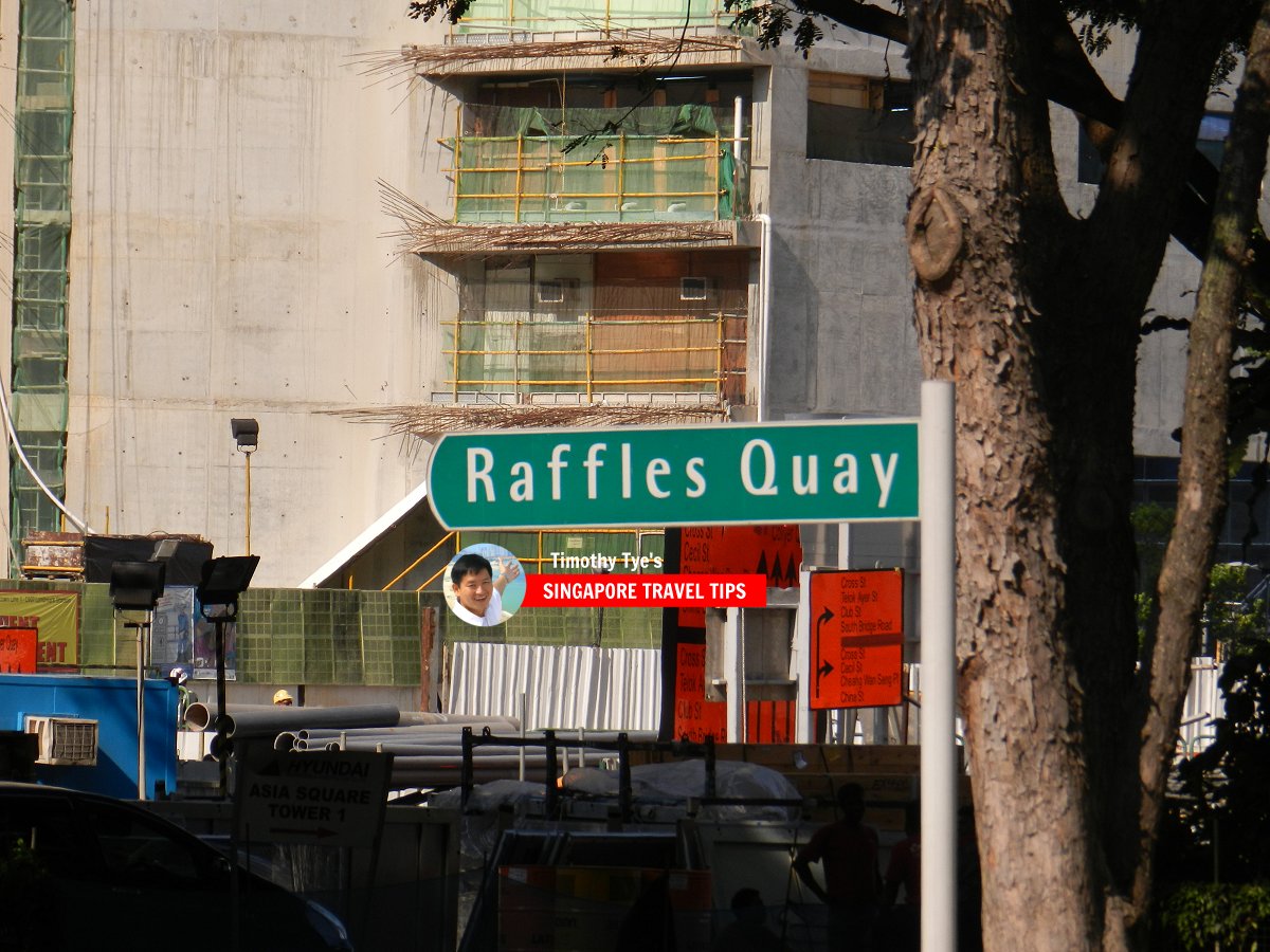
 Raffles Quay roadsign (8 July 2011)
Raffles Quay Singapore on Google Street View
Raffles Quay (Apr 2022)References
- Singapore Street Names - A Study of Toponymics by Victor R Savage and Brenda S.A. Yeoh (2013), ISBN 978-981-4408-35-6
List of the Streets in Singapore; Discover Singapore
 Copyright © 2003-2025 Timothy Tye. All Rights Reserved.
Copyright © 2003-2025 Timothy Tye. All Rights Reserved.

 Go Back