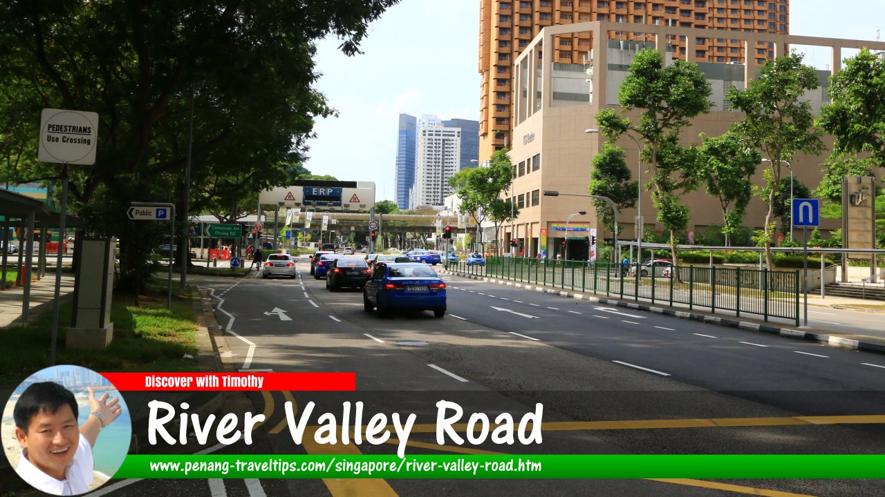
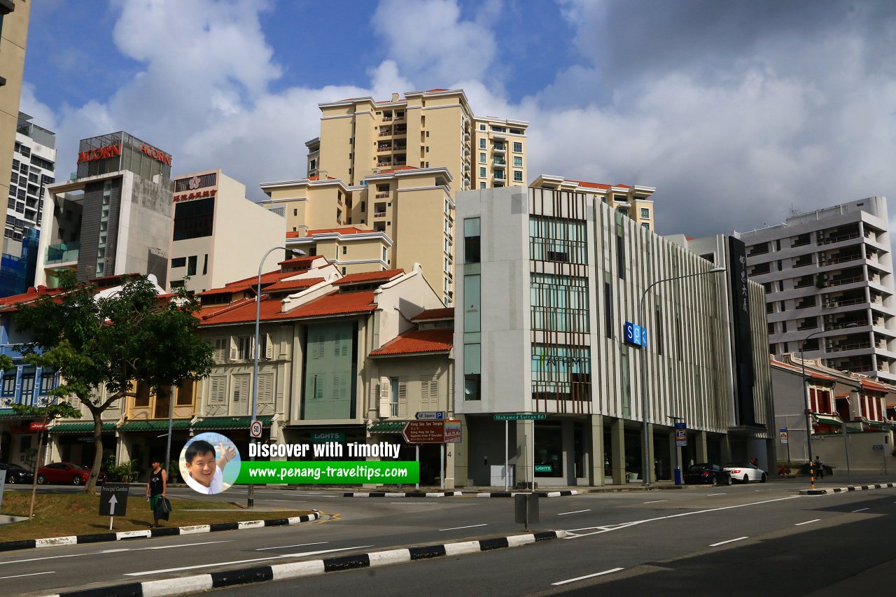
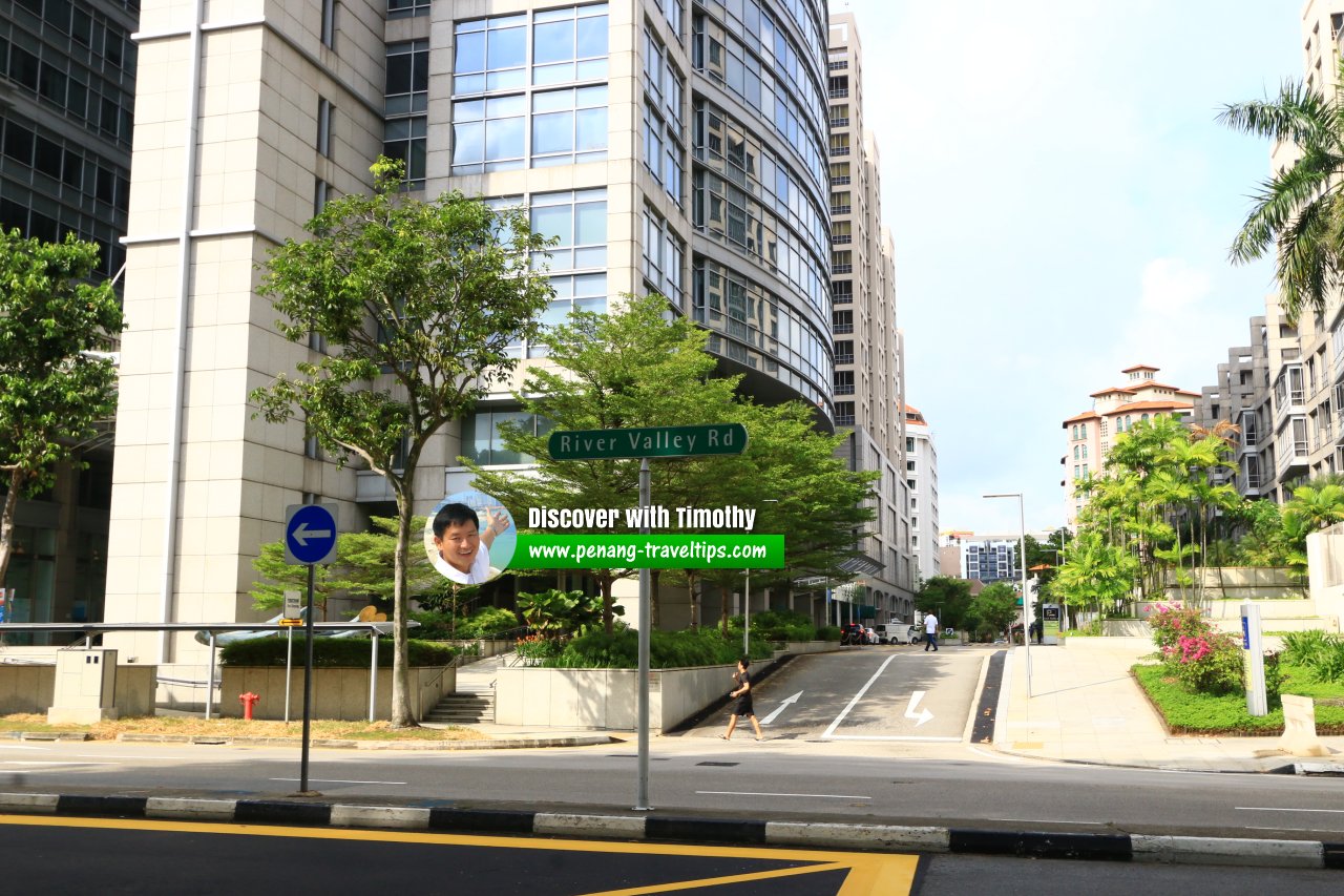
 River Valley Road, Singapore (30 July 2017)
River Valley Road is a major road in downtown Singapore. It runs for the most part in the River Valley Planning Area. The road connects Delta Road, at the junction of Jervois Road, in the west, to North Boat Quay, at the intersection of Hill Street and Eu Tong Sen Street/New Bridge Road. In between, it also forms junctions and intersections with Nathan Road, Shanghai Road, Kellock Road, Kay Poh Road, Zion Road, Irwell Bank Road, Kim Seng Road, Leonie Hill, Leonie Hill Road, River Valley Green, River Valley Grove, Jalan Kuala, St Thomas Walk, Killiney Road, River Valley Close, Kim Yam Road, Institution Hill, Oxley Road, Mohamed Sultan Road, Tank Road, Clemenceau Avenue, Clarke Quay, Tan Tye Place and Canning Lane.
The river valley that gives its name to River Valley Road is the valley of Singapore River. Originally, there were two River Valley roads, one on each side of the river1. The other one was eventually renamed Havelock Road.
Map of River Valley Road, Singapore
MRT Stations along River Valley Road
- Great World MRT Station (GPS: 1.29597, 103.83325)

Sights along River Valley Road
- Clarke Quay (GPS: 1.2909, 103.8457)

- Fort Canning (GPS: 1.29236, 103.84574)

- MICA Building (GPS: 1.29072, 103.84822)

- Nanyang Sacred Union (GPS: 1.29455, 103.84163)

- UE Square (GPS: 1.29291, 103.84306)

 River Valley Road, Singapore (30 July 2017)
 River Valley Road roadsign (30 July 2017)
 River Valley Road roadsign (30 July 2017)
River Valley Road Singapore on Google Street View
River Valley Road Singapore (Mar 2022)References
- Singapore Street Names, by Victor R. Savage and Brenda S.A. Yeoh, page 324
List of Streets in Singapore; Discover Singapore
 Copyright © 2003-2025 Timothy Tye. All Rights Reserved.
Copyright © 2003-2025 Timothy Tye. All Rights Reserved.

 Go Back