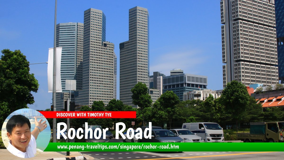
 Rochor Road, Singapore (28 July 2017)
Rochor Road is a major one-way street in downtown Singapore. It runs in a northwest direction beginning at the exit at Benjamin Sheares Bridge on the East Coast Parkway, and ending at the intersection with Bencoolen Street, from where it continues as Rochor Canal Road.
Along the way, Rochor Road forms intersections with Beach Road, North Bridge Road, Victoria Street and Queen Street.
Rochor Road is believed to have been named after the Rochor River, part of which has been canalized. There is so far no complete agreement as to how the name Rochor came about, although different theories abound.
Map of Rochor Road, Singapore
Sights along Rochor Road
- Bugis Junction (GPS: 1.30152, 103.85451)

- DUO Singapore (GPS: 1.29944, 103.85748)

- Fu Lu Shou Complex (GPS: 1.30152, 103.85451)

- OG Albert Complex (GPS: 1.30238, 103.85383)

- Rochor Centre (GPS: 1.3026, 103.85485)

- The Gateway (GPS: 1.29871, 103.85899)

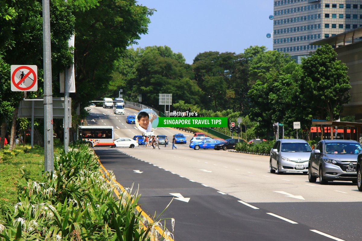
 Rochor Road, viewed towards the Nicoll Highway intersection. (28 July 2017)
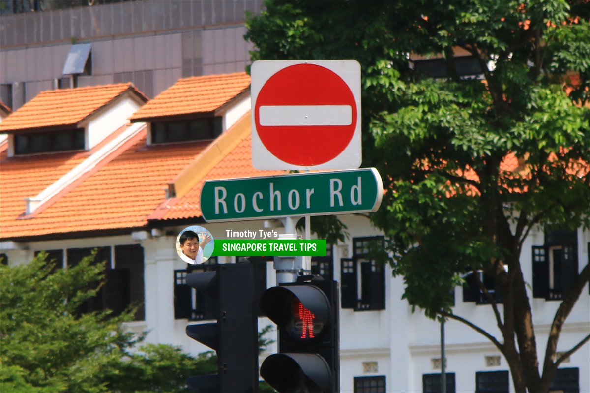
 Rochor Road roadsign (28 July 2017)
Rochor Road Singapore on Google Street View
Rochor Road Singapore (Sep 2022)References
- Singapore Street Names by Victor R Savage and Brenda S.A. Yeoh (2004), ISBN 981-210-364-3
List of the Streets in Singapore; Discover Singapore
 Copyright © 2003-2025 Timothy Tye. All Rights Reserved.
Copyright © 2003-2025 Timothy Tye. All Rights Reserved.

 Go Back