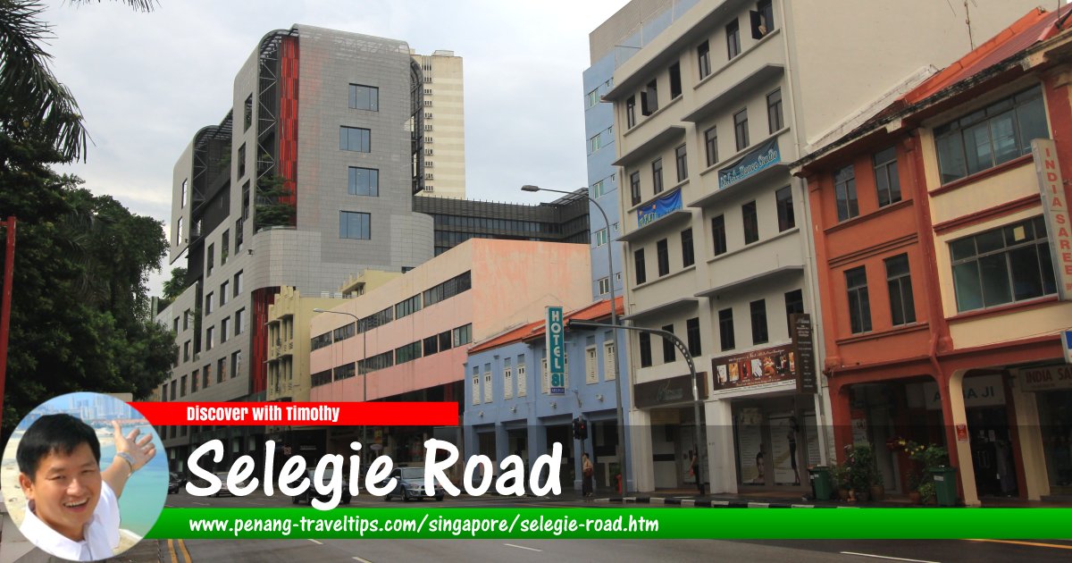
 Selegie Road, Singapore (12 July 2011)
Selegie Road is a major road in Rochor, Singapore. It runs in a single direction beginning at the junction with Prinsep Street and ending at the intersection with Rochor Canal Road and Bukit Timah Road, after which it continues as Serangoon Road. Selegie Road also forms junctions with MacKenzie Road, Short Street, Middle Road and Sophia Road.
Selegie Road is quite old. It appears in the 1822 Jackson Map of Singapore as Seligi Hill and Selegy Street. In Coleman's 1836 Map of Singapore, it appears as Seligie Road. There are a number of theories over how Selegie Road got its name. According to one, Selegie refers to a Bugis pirate chief. Another theory was that Selegie refers to a wooden spear.
Among the locals, Selegie Road was known as Nagappan Tangki meaning Nagappan's tank, because a Tamil living there owns a tank from which he sold fresh water to the public. The Hokkiens called it Tek Kha Tit Koy, meaning "straight street under the bamboo grove". Although the name Tekka (bamboo grove) still remains in the area, there are no visible signs of such groves today.
Map of Selegie Road, Singapore
Sights on Selegie Road, Singapore
- David Elias Building (GPS: 1.30176, 103.85024)

- Ellison Building (GPS: 1.30466, 103.85031)

- ibis budget Singapore Selegie (GPS: 1.3037, 103.84999)

- Parklane Shopping Mall (GPS: 1.30068, 103.84933)

- Peace Centre (GPS: 1.30129, 103.84952)

- Selegie Centre (GPS: 1.30411, 103.85007)
 demolished
 - Selegie Court (GPS: 1.30306, 103.8498)

- Selegie House (GPS: 1.3032, 103.85037)

- Village Hotel Albert Court (GPS: 1.30412, 103.85091)

- Wilkie Edge (GPS: 1.30214, 103.8496)

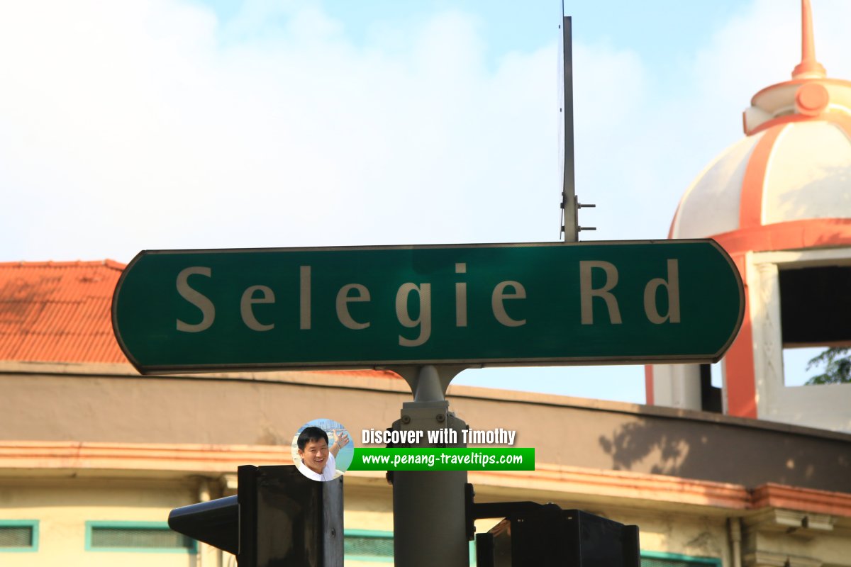
 Selegie Road roadsign (30 July 2017)
Selegie Road Singapore on Google Street View
Selegie Road Singapore (Feb 2022)References
1. Toponymics - A Study of Singapore Street Names by Victor R Savage and Brenda S.A. Yeoh (2004), ISBN 981-210-364-3List of the Streets in Singapore; Discover Singapore
 Copyright © 2003-2025 Timothy Tye. All Rights Reserved.
Copyright © 2003-2025 Timothy Tye. All Rights Reserved.

 Go Back