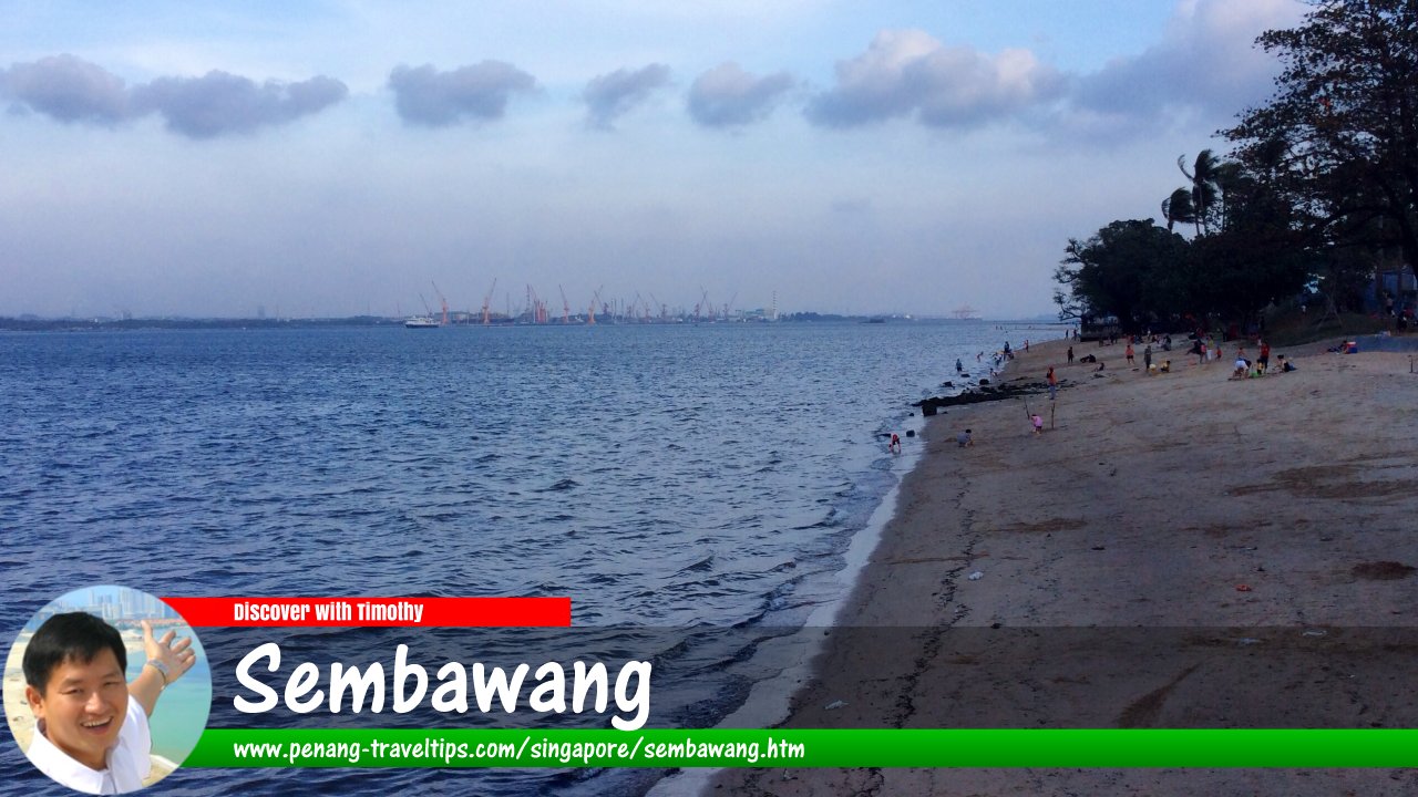
 Sembawang, Singapore
wanderingchina, CC BY-SA 3.0, via Wikimedia Commons
Sembawang
 (GPS: 1.44911, 103.81849; pronounce: səm-ba-uaŋ) is the northernmost planning area of Singapore. It borders on the Simpang to the east, Yishun to the south, Mandai to the southwest, Woodlands to the west, and the Straits of Johor to the north. Located at the periphery of Sembawang are military, industrial and recreational facilities.
The name Sembawang dates back to the Franklin & Jackson's Plan of Singapore of 1830. It is named after the sembawang tree, Kayae ferruginea. The New Zealand military had residences for its personnel here right up to 1989.
The planning area of Sembawang is composed of 9 neighbourhoods or subzones, namely Admiralty, Sembawang Central, Sembawang East, Sembawang North, Sembawang Springs, Sembawang Straits, Senoko North, Senoko South and The Wharves.
Map of Sembawang, Singapore
Getting there
The nearest MRT station is the Sembawang MRT Station (NS11) on the North-South Line.List of Planning Areas in Singapore and Places in Singapore; Discover Singapore
 Copyright © 2003-2025 Timothy Tye. All Rights Reserved.
Copyright © 2003-2025 Timothy Tye. All Rights Reserved.

 Go Back