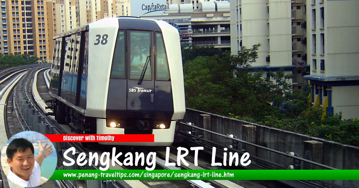
 Sengkang LRT Line, Singapore
Img by Calvin Teo, CC BY-SA 3.0, via Wikimedia Commons
Sengkang LRT Line is a 10.7 km light rail transit system operated by SBS Transit in Sengkang, Singapore. It began operations on 18 January 2003 with the East Loop and on 29 January 2005 with the West Loop.
The Sengkang LRT Line provides rail transit to residence of the Sengkang Town Centre and its surrounding suburbs. The hub of is the Sengkang MRT Station, which is served by the North East Line and the adjacent Sengkang Bus Interchange.
Map of Sengkang LRT Line, Singapore
Stations on the Sengkang LRT Line
- Sengkang MRT Station NS16/STC (GPS: 1.39128, 103.89521)

- Compassvale LRT Station SE1 (GPS: 1.39461, 103.90015)

- Rumbia LRT Station SE2 (GPS: 1.39111, 103.90628)

- Bakau LRT Station SE3 (GPS: 1.38784, 103.90527)

- Kangkar LRT Station SE4 (GPS: 1.3837, 103.90224)

- Ranggung LRT Station SE5 (GPS: 1.38363, 103.89777)

- Cheng Lim LRT Station SW1 (GPS: 1.39633, 103.89381)

- Farmway LRT Station SW2 (GPS: 1.39725, 103.88895)

- Kupang LRT Station SW3 (GPS: 1.39818, 103.8813)

- Thanggam LRT Station SW4 (GPS: 1.39745, 103.8756)

- Farnvale LRT Station SW5 (GPS: 1.39205, 103.87626)

- Layar LRT Station SW6 (GPS: 1.39215, 103.87991)

- Tongkang LRT Station SW7 (GPS: 1.38926, 103.88611)

- Renjong LRT Station SW8 (GPS: 1.38676, 103.89053)

Return to Singapore MRT; Discover Singapore
 Map of Singapore MRT

Copyright © 2003-2025 Timothy Tye. All Rights Reserved.

 Go Back