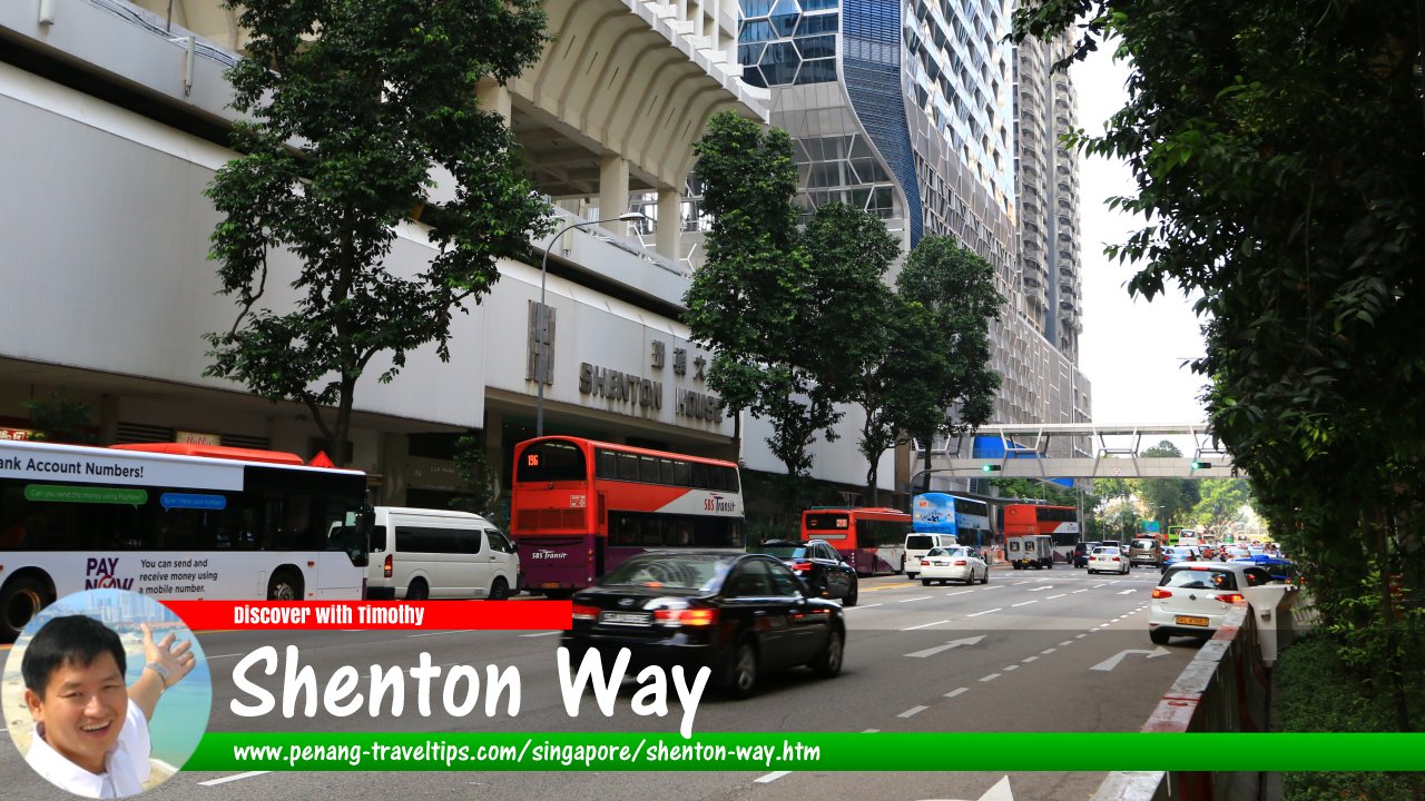
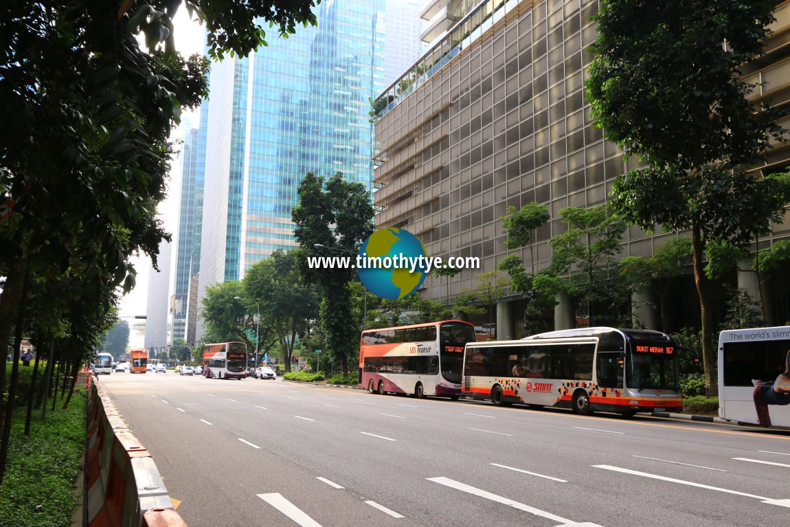
 Shenton Way, Singapore (27 July 2017)
Shenton Way is a major thoroughfare in Singapore's Central Business District. It is a one-way street with traffic flowing from Raffles Quay to Keppel Road. In between, Shenton Way forms junctions with Boon Tat Street, Commerce Street, McCallum Street, Park Street, Union Street, Maxwell Road, Prince Edward Road, Parsi Road, and Palmer Road.
Shenton Way is located in Singapore Postal District 02.
Shenton Way was built on land that was reclaimed in 1932 as one of the later phases of the Telok Ayer reclamation. It is therefore newer than the next road, Robinson Road, which was built in the 19th century. Initially, it was named Raffles Way, but given that so many other places have already borne Raffles' name, a decision was made to rename the road after Sir Shenton Whitelegge Thomas, the Governor of the Straits Settlement from 1934 to 1946. Shenton was a heroic figure who decided to remain in Singapore during the 1942 Japanese invasion, resulting in his being held as prisoner-of-war at Changi Prison from 15 February 1942 until 15 August 1945.
Map of Shenton Way, Singapore
Sights along Shenton Way
- 76 Shenton (GPS: 1.27343, 103.84556)

- AIG Building (GPS: 1.27315, 103.84538)

- AXA Tower (GPS: 1.27585, 103.84727)

- EON Shenton (GPS: 1.27397, 103.84617)

- Hock Teck See Temple (GPS: 1.27355, 103.8467)

- Monetary Authority of Singapore (GPS: 1.27493, 103.84672)

- One Shenton Way (GPS: 1.27946, 103.85051)

- OUE Downtown (GPS: 1.278, 103.84897)

- SGX Centre (GPS: 1.27935, 103.84981)

- Shenton House (GPS: 1.27869, 103.85007)

- Shenton Way Bus Terminal (GPS: 1.27299, 103.84651)

- Singapore Conference Hall (GPS: 1.27645, 103.84883)

- Singapore Exchange (GPS: 1.27984, 103.85011)

- V on Shenton (GPS: 1.27763, 103.84945)

 Shenton Way, Singapore (30 July 2017)
Getting there
Take the MRT to the Tanjong Pagar MRT Station (EW15) on the East-West Line or Raffles Place MRT Station (EW14/NS26) on the East-West and North-South Lines. Shenton Way is located between these stations.Shenton Way Singapore on Google Street View
Shenton Way Singapore (Mar 2022)List of the Streets in Singapore; Discover Singapore
 Copyright © 2003-2025 Timothy Tye. All Rights Reserved.
Copyright © 2003-2025 Timothy Tye. All Rights Reserved.

 Go Back