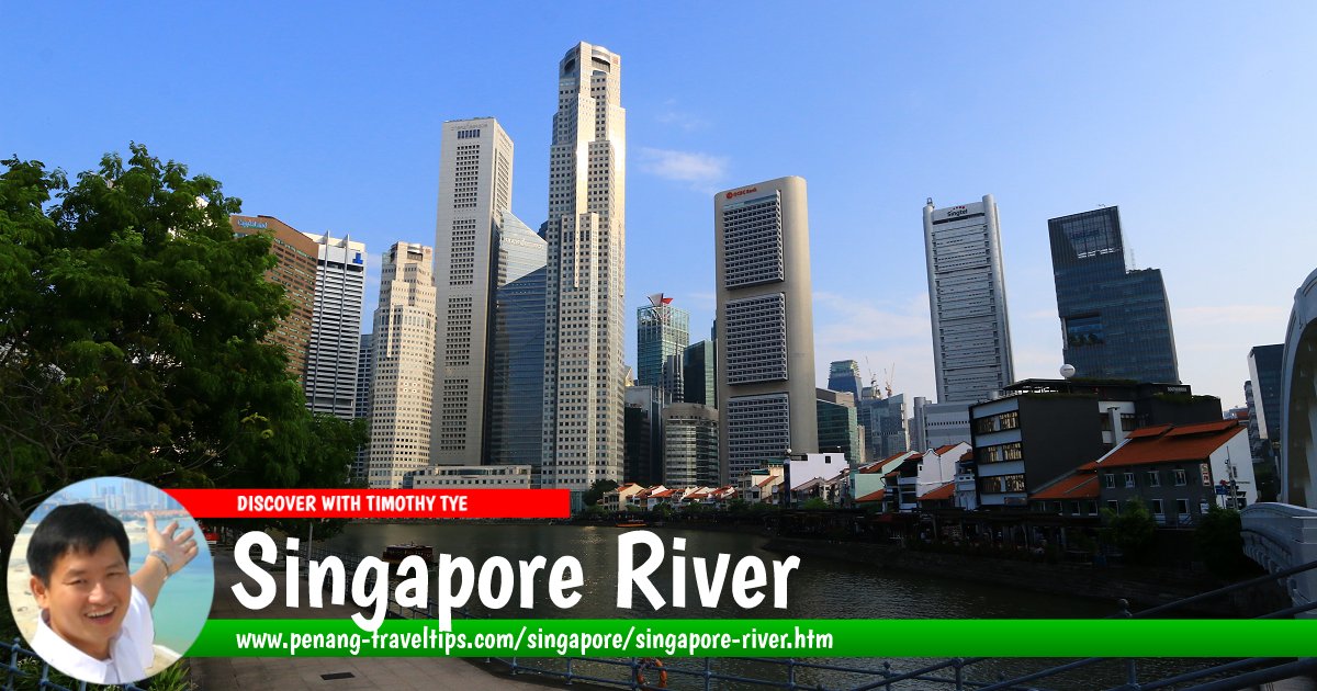
 Singapore River (28 July 2017)
Singapore River Planning Area is an area in Singapore marked by the Singapore River which flows through downtown Singapore. The Singapore River is an important river that is closely linked to the history of the island nation. It flows through Queenstown, form the natural boundary between Tanglin and Bukit Merah before entering the Singapore River Planning Area and then empties into Marina Bay at Downtown Core. Marina Bay was formerly sea but has now seen land reclamation surrounding it, reducing it into a bay.
The Singapore River planning area is divided into 3 neighbourhoods, called subzones. They are Boat Quay (15 hectares)1, Clarke Quay (30 hectares) and Robertson Quay (51 hectares). Presently, the area defined as Singapore River goes as far west as Kim Seng Bridge, beyond which, the canalised section is known as Alexandra Canal.
Map of Singapore River and Singapore River Planning Area
Apartments, Condominiums and HDB flats in the Singapore River Planning Area
- RiverGate (GPS: 1.29188, 103.83697)

- Tiara (GPS: 1.29505, 103.83117)

- The Trillium (GPS: 1.29476, 103.83273)

- Union Square Residences (GPS: 1.2881, 103.84339) New Launch 2024 Nov

Commercial properties in the Singapore River Planning Area
- Riverside Point (GPS: 1.28943, 103.8441)

- UE Square (GPS: 1.29291, 103.84306)

Hotels in the Singapore River Planning Area
- Four Points by Sheraton Singapore, Riverview (GPS: 1.28918, 103.83664)

- Hotel Miramar Singapore (GPS: 1.2884, 103.83733)

- InterContinental Singapore Robertson Quay (GPS: 1.29014, 103.83865)

- Riverside Hotel Robertson Quay (GPS: 1.29159, 103.84227)

- The Warehouse Hotel (GPS: 1.28917, 103.83749)

MRT stations in Serangoon
- Clarke Quay MRT Station (GPS: 1.28838, 103.84656)

- Fort Canning MRT Station (GPS: 1.29243, 103.84421)

Parks and Recreational Areas in the Singapore River Planning Area
- Hong Lim Park (GPS: 1.28672, 103.84609)

Religious buildings in the Singapore River Planning Area
Shopping Malls in the Singapore River Planning Area
- Great World City (GPS: 1.29363, 103.83194)

- UE Square Shopping Mall (GPS: 1.29216, 103.84266)

Sights within the Singapore River Planning Area
- Alkaff Bridge (GPS: 1.29013, 103.83997)

- Clemenceau Bridge (GPS: 1.29071, 103.84241)

- Coleman Bridge (GPS: 1.28981, 103.84804)

- Elgin Bridge (GPS: 1.28907, 103.84924)

- Jiak Kim Bridge (GPS: 1.29226, 103.83568)

- Ord Bridge (GPS: 1.2909, 103.84402)

- Read Bridge (GPS: 1.28924, 103.8451)

- Robertson Bridge (GPS: 1.28989, 103.83642)

- Robertson Quay (GPS: 1.2899, 103.83732)

- Robertson Walk (GPS: 1.29201, 103.8414)

Streets within the Singapore River Planning Area
- Boat Quay
- Canning Lane
- Caseen Street
- Circular Road
- Clemenceau Avenue
- Eu Tong Sen Street
- Havelock Road
- Hill Street
- Kim Seng Road
- Kim Seng Walk
- Lorong Telok
- Martin Road
- Merchant Road
- Nanson Road
- New Bridge Road
- North Canal Road
- River Valley Road
- Robertson Quay
- Rodyk Street
- Saiboo Street
- South Bridge Road
- Tan Tye Place
- Upper Circular Road
- Zion Road
About the Singapore River
The history of Singapore is closely linked to the Singapore River. It was here that the first port developed. The city itself grew around the port. A site on the north bank of the river is regarded as where Sir Stamford Raffles first set foot on Singapore. Later on (after some initial haphazard planning by William Farquhar), Raffles himself oversaw the planning of the city of Singapore, parcelling our specific sections for Europeans and Jews, Chinese, Indians and the Malays and Arabs.The Europeans occupied the area north of the Singapore River. Also located here is what is today regarded as the Civic District, where most of Singapore's colonial government offices were located. However, it was the area south of the Singapore River, the area where bumboats congregated and jostled for berthing space, that saw the most activity. This section, known today as Boat Quay, is indeed the very lifeblood of the new British port and colony.
The Chinese considered this section of the Singapore River particularly auspicious, as is resembles the full belly of the carp. So the area is lined with Chinese merchant houses and godowns. And where land meets river, there are wharfs and wooden piers. You can almost imagine Chinamen coolies carrying on their backs heavy sacks of rice, onions, spices. The Singapore river itself was choked full of sampans, prahus, tongkongs, boats of every shape and design. The bigger ships anchored out at sea and are unloaded onto smaller lighters or bumboats which ferry their cargo to the Boat Quay and Clarke Quay.
The place was polluted, dirty, smelly - but did it matter? However, as the Singapore society became more urbanized, so the perception of the Singapore River changed with it. Eventually it was no longer acceptable to have a dirty river flowing right through the city.
Former prime minister Lee Kuan Yew set the ball rolling when he declared in 1977 that he wanted fishing to be possible again on the Singapore River and Kallang Basin within ten years. With that said, the "Clean-up of the Singapore River and Kallang Basin" plan was put into action. It involved overall improvement of the infrastructure, resettlement of squatters, re-siting of hawker centres, and the phasing out of pollutive activites. In addition, the river bed had to be dredged to make it suitable for marine life to thrive there once more.
In September 1987, ten years after the campaign started, the Ministry of Environment celebrated the success of the clean-up with an event called the "Clean River Commemoration". Today only non-polluting vessels are allowed on the Singapore River.
Plans are afoot to dam the Singapore river. By doing that, Singapore River becomes a new source of fresh water supply for the resource hungry nation. In addition, damming will prevent pollution from the sea from entering the river and makes it easier to control the quality of the water.
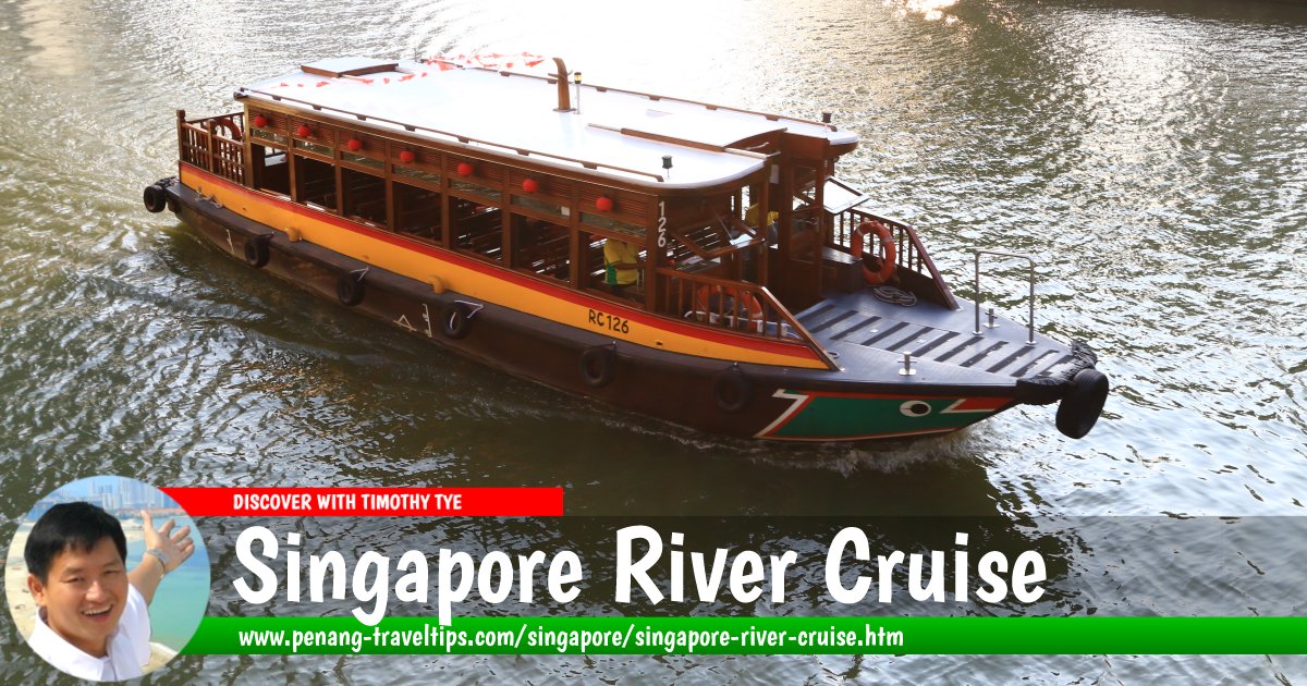
Singapore River Cruise
Pleasure cruise on the Singapore River with stops at various jetties along the way.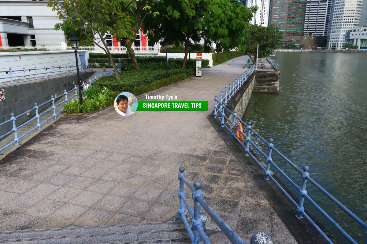 Promenade along the Singapore River at North Boat Quay (28 July 2017)
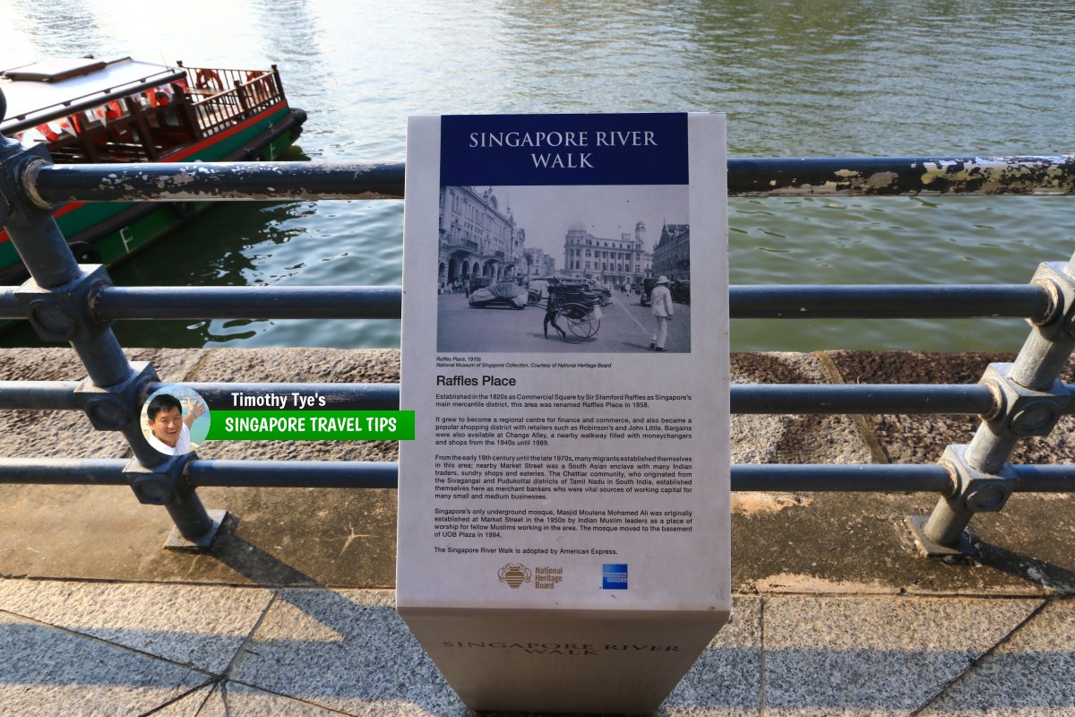 Interpretive board for the Singapore River Walk by the riverbank. (28 July 2017)
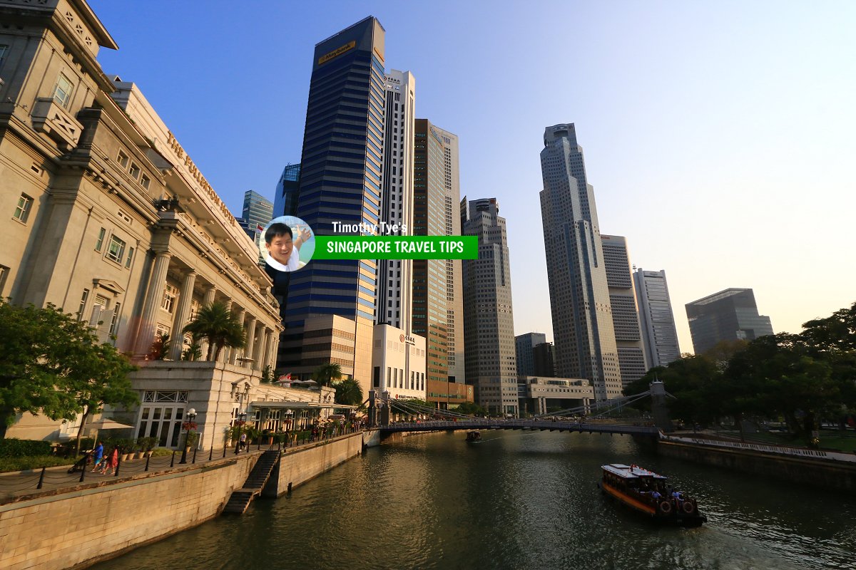 View of the Singapore River with the skyscrapers of the Financial District from Anderson Bridge. (28 July 2017)
 View of the Singapore River. (11 September, 2010)
 Singapore River near the Fullerton Hotel. (11 September, 2010)
 People relaxing by the bank of the Singapore River. (12 September, 2010)
References
- Singapore River Planning Area Planning Report 1994
List of Rivers in Singapore; Discover Singapore
 Copyright © 2003-2025 Timothy Tye. All Rights Reserved.
Copyright © 2003-2025 Timothy Tye. All Rights Reserved.

 Go Back

