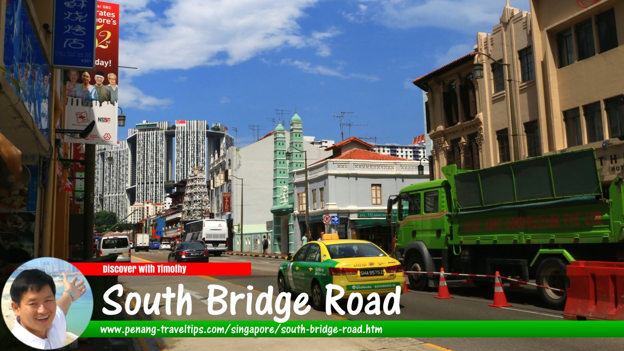
 South Bridge Road, Singapore (1 August 2017)
South Bridge Road is a major road in downtown Singapore. It is the road on the southern side of Elgin Bridge. It extends from the south bank of the Singapore River. The road runs in a southwesterly direction, terminating at Maxwell Road, near the Fairfield Methodist Church. Roads branching from South Bridge Road include Upper Circular Road, Circular Road, Carpenter Street, Hongkong Street, North Canal Road, South Canal Road, Upper Pickering Street, Pickering Street, Upper Hokien Street, Hokien Street, Nankin Street, Chin Chew Street, Upper Cross Street, Cross Street, Mosque Street, Pagoda Street, Temple Street, Smith Street, Ann Siang Road, Sago Street, Erskine Road, Sago Lane, Spring Street and Neil Road.
The area that is now South Bridge Road was swampy during Raffles' time. The road was one of the earlier roads built in Singapore, having been constructed using convict labour, and has existed since as early as 1833.
A steam tramway ran along South Bridge Road to Keppel Harbour, then known as New Harbour, between 1885-1894. By 1894, the role of trams have been taken over by jinriksha. Trams ran by the Singapore Electric Tramways Company ply South Bridge Road from 1905 to 1927 while trolley buses used South Bridge Road between 1929 until 1962, when motor buses were introduced.
For a road in Chinatown, South Bridge Road is unusual as a Hindu temple, the Sri Mariamman Temple and a mosque, the Jamae Mosque, are located along it. Eu Yan Sang, the Chinese medicine and herb business, was established here in 1910.
South Bridge Road is also known as Chat1 Bark3 Kay1
 (Traditional Chinese: 漆墨街; POJ: Chhat-ba̍k Ke) which means "wood painting street" and Goo3chia3 Cui4 Tua33 Bae1chia3 Lor33
  (Traditional Chinese: 牛車水大馬車路; POJ: Gû-chhia-chúi Tuā Bé-chhia-lō͘) meaning "big carriage road in Kreta Ayer" in Hokkien, and as Dà Mǎlù 大馬路 (Great Horseway) in Mandarin.
Getting there
Nearest MRT Station is the Chinatown MRT Station (NE4).Map of South Bridge Road, Singapore
Sights along South Bridge Road, Singapore
- Buddha Tooth Relic Temple (GPS: 1.28149, 103.84428)

- Hong Lim Complex (GPS: 1.28449, 103.84607)

- Jamae Mosque (GPS: 1.28325, 103.84541)

- Sri Mariamman Temple (GPS: 1.28325, 103.84541)

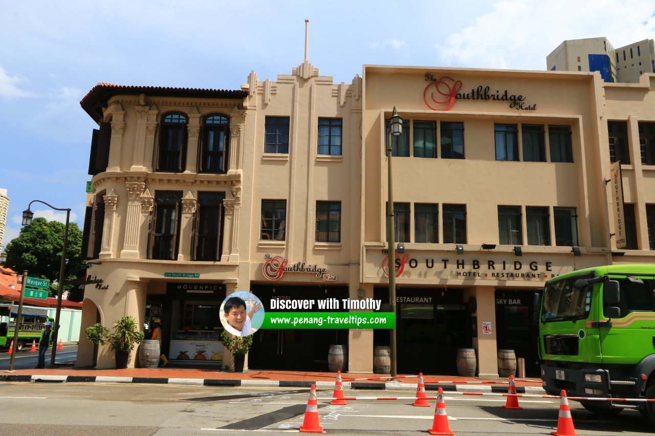 Restored Neoclassical and Art Deco-style buildings on South Bridge Road, Singapore (1 August 2017)
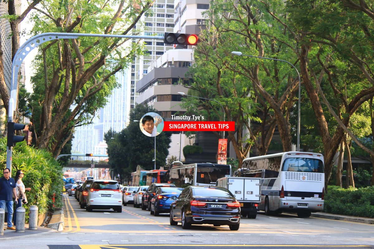 South Bridge Road, Singapore (28 July, 2017)
 South Bridge Road (28 July 2017)
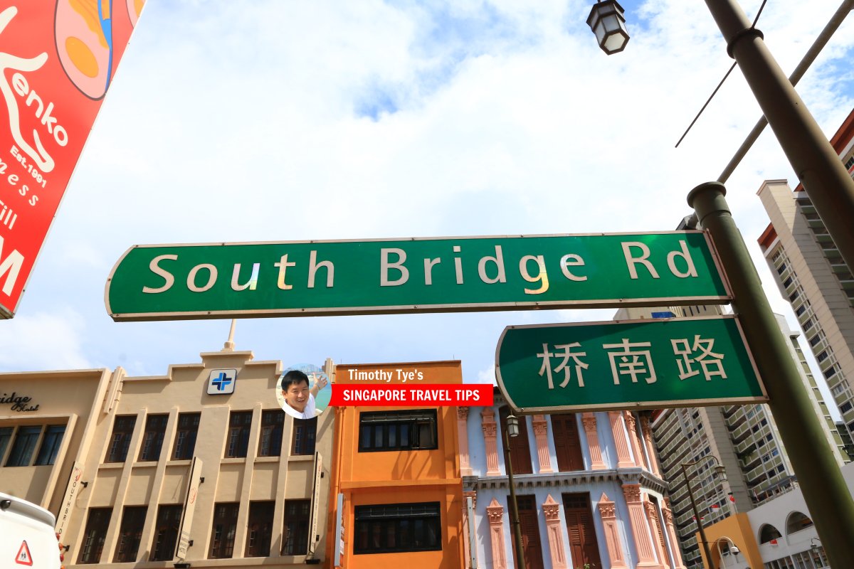 South Bridge Road roadsign (1 August 2017)
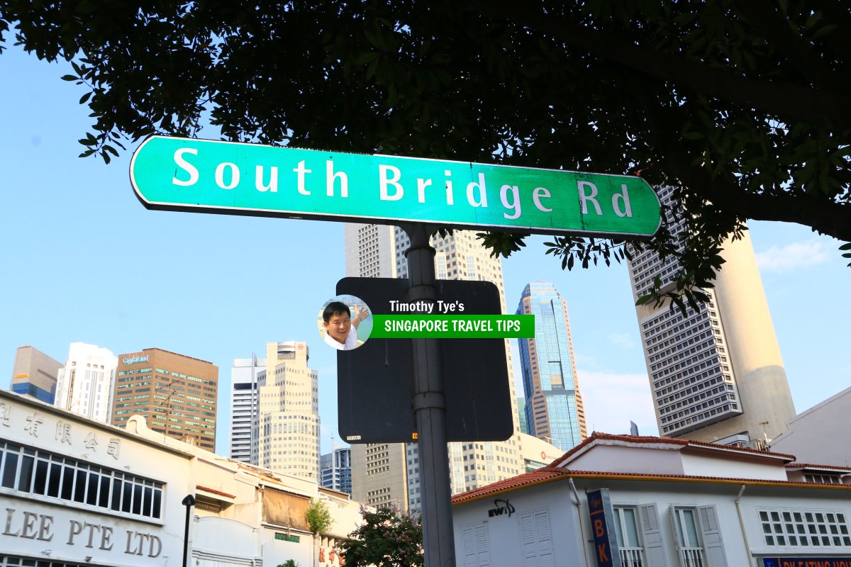 South Bridge Road roadsign (28 July 2017)
South Bridge Road Singapore on Google Street View
South Bridge Road Singapore (Apr 2022)List of the Streets in Singapore; Discover Singapore
 Copyright © 2003-2025 Timothy Tye. All Rights Reserved.
Copyright © 2003-2025 Timothy Tye. All Rights Reserved.

 Go Back