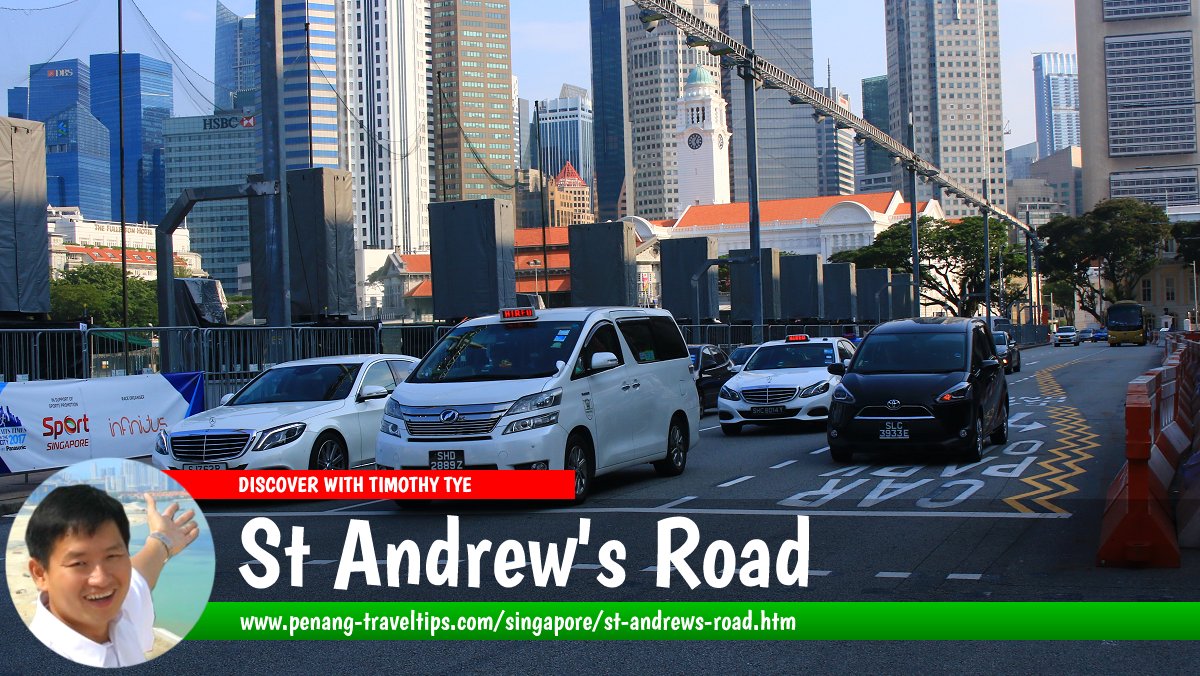
 St Andrew's Road, Singapore (28 July 2017)
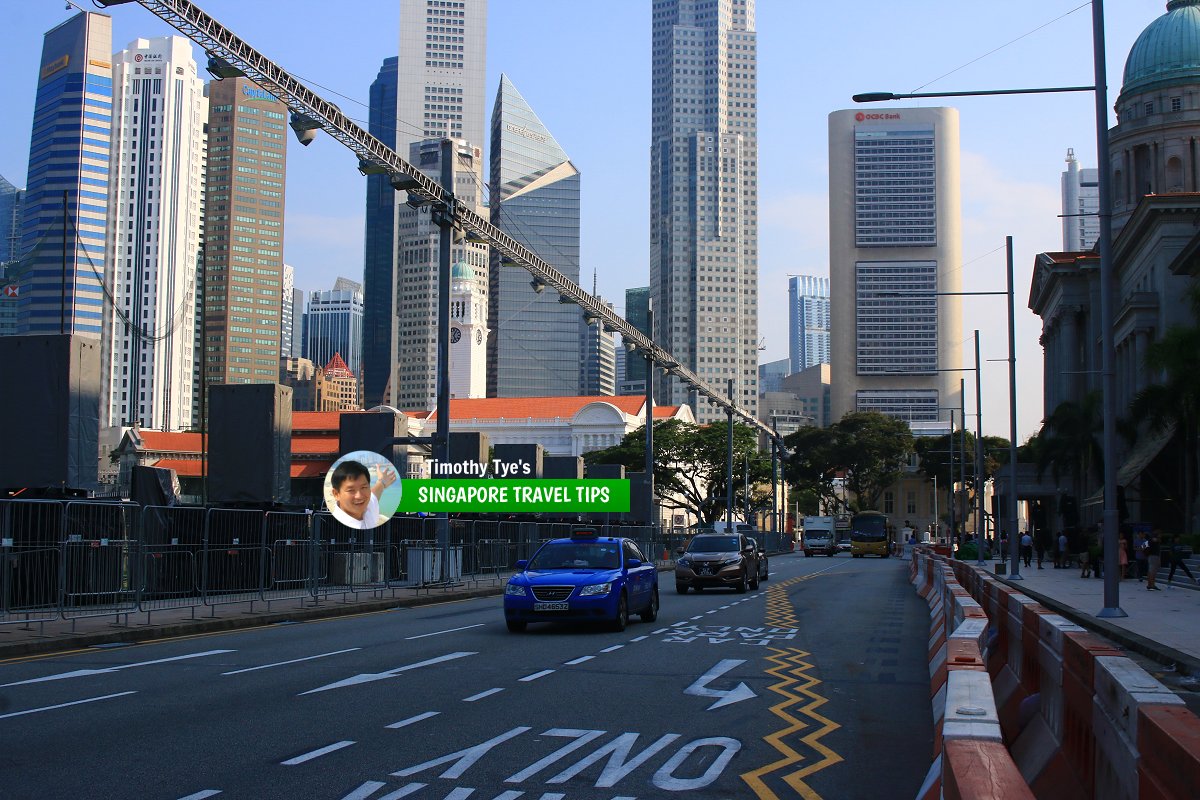
St Andrew's Road is one of the roads in downtown Singapore. It runs along the western side of the Padang. The road is lined with a number of historic buildings such as the Old Supreme Court Building and City Hall, both of which are today combined to house the National Gallery Singapore. It was named after the St Andrew's Cathedral which is located at the northern end of the road, at the junction with Stamford Road.
St Andrew's Road has been around since the 19th century. However it was known as Esplanade Road until 1907, when it was renamed to the present name. The area east of the road is still regarded as the Singapore Esplanade. This includes the Padang, the Esplanade Park and the recent developments such as the Theatres on the Bay and Esplanade Mall.
Map of St Andrew's Road, Singapore
Sights along St Andrews's Road
- National Gallery Singapore (GPS: 1.29019, 103.85143)

- Padang (GPS: 1.29245, 103.8523)

- Singapore Cricket Club (GPS: 1.28905, 103.85212)

- Singapore Recreation Club (GPS: 1.29216, 103.85382)

- St Andrew's Cathedral (GPS: 1.29245, 103.8523)

Taking the MRT to St Andrew's Road
Take the East-West Line or North-South Line to the City Hall MRT Station and then walk a short distance from there. St Andrew's Road, Singapore (28 July 2017)
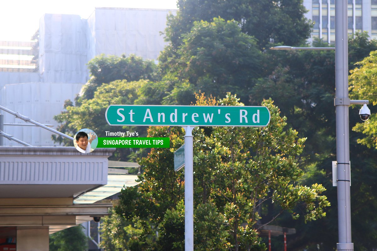
 St Andrew's Road roadsign (28 July 2017)
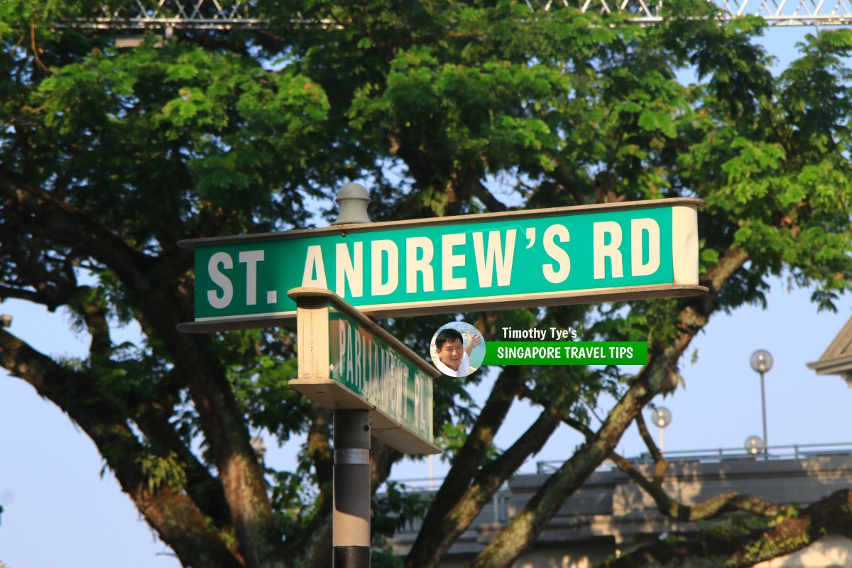
 The road sign for St Andrew's Road (28 July 2017)
St Andrew's Road Singapore on Google Street View
St Andrew's Road Singapore (Oct 2021)References
- Singapore Street Names by Victor R Savage and Brenda S.A. Yeoh (2004), ISBN 981-210-364-3
List of the Streets in Singapore; Discover Singapore
 Copyright © 2003-2025 Timothy Tye. All Rights Reserved.
Copyright © 2003-2025 Timothy Tye. All Rights Reserved.

 Go Back