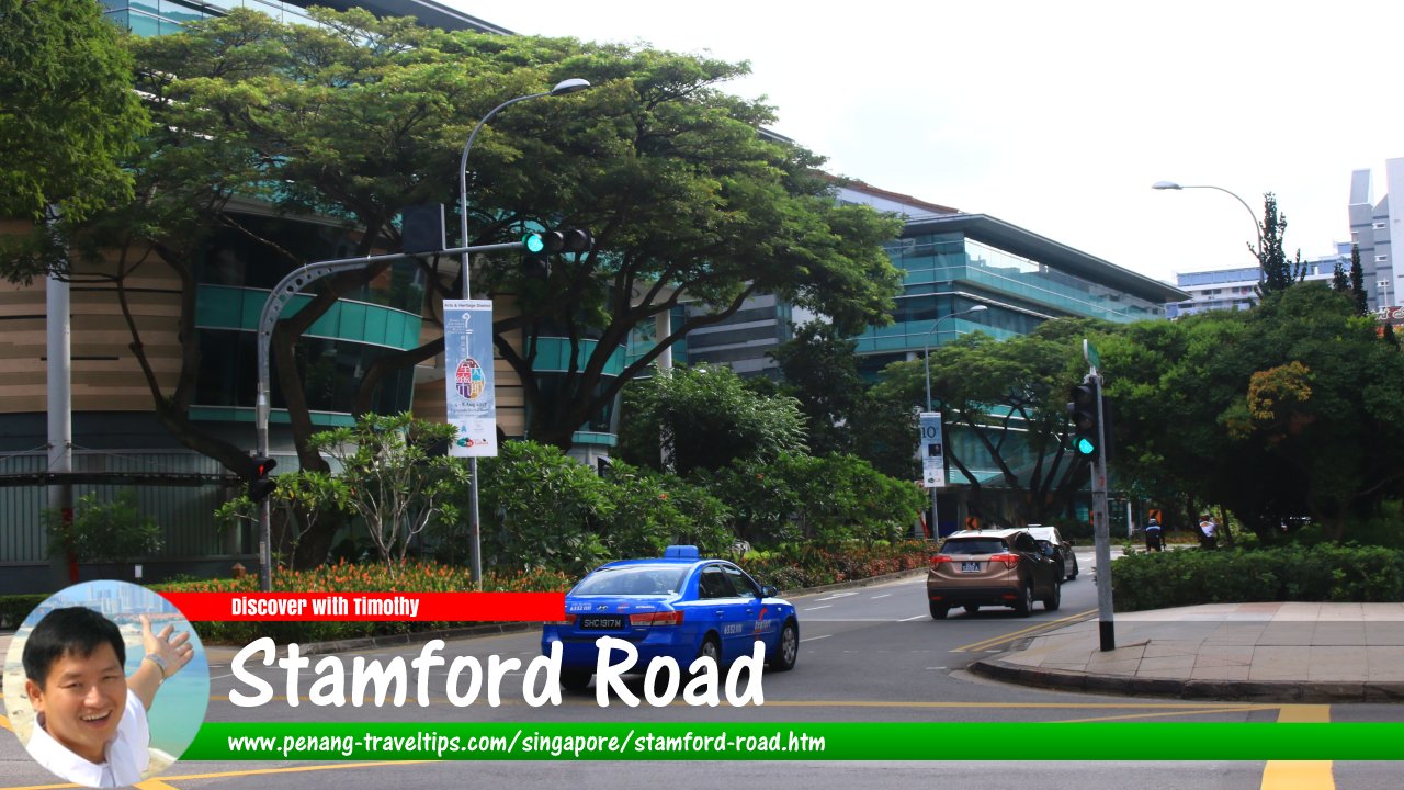
 Stamford Road, Singapore (30 July 2017)
Stamford Road is one of the major roads in downtown Singapore. It crosses the Downtown Core and Museum Planning Areas. The road that was named after the founder of modern Singapore, Stamford Raffles, was originally called Hospital Road. During the early years, it was known as Lau1 Cui1 Kay1 漏水街
 , or "water dripping street" in Hokkien, due to the Stamford Canal in its vicinity being prone to overflowing.
Stamford Road is a one-way street beginning at the intersection with Nicoll Highway and the much newer Raffles Avenue, which is also named after Stamford Raffles. It passes the War Memorial Park on the right and the Padang on the left.
The next intersection is with St Andrew's Road and Beach Road. In front is St Andrew's Cathedral on the left and Raffles City on the right. Following that, the subsequent intersection is with North Bridge Road, with the Capitol Building on the left. Continuing pass the North Bridge Road intersection, there is Stamford House on the left before Stamford Road intersects with Hill Street on the left and Victoria Street on the right. Across the intersection, Stamford Court is on the left.
Continuing past the Hill Street/Victoria Street intersection, Stamford Road next makes an intersection with Queen Street. After the intersection, Stamford Road continues to connect with Orchard Road at the intersection with Bencoolen Street and Fort Canning Road.
Map of Stamford Road, Singapore
Sights along Stamford Road
- Capitol Building (GPS: 1.29357, 103.8515)

- Esplanade Park (GPS: 1.29074, 103.85419)

- National Museum of Singapore (GPS: 1.29663, 103.84858)

- Padang (GPS: 1.29134, 103.8533)

- Raffles City (GPS: 1.29395, 103.85326)

- Singapore Management University (GPS: 1.29529, 103.85043)

- St Andrew's Cathedral (GPS: 1.29237, 103.85222)

- Stamford Court (GPS: 1.29448, 103.85012)

- The Capitol Kempinski Hotel Singapore (GPS: 1.29404, 103.8508)

- War Memorial Park (GPS: 1.2928, 103.85468)

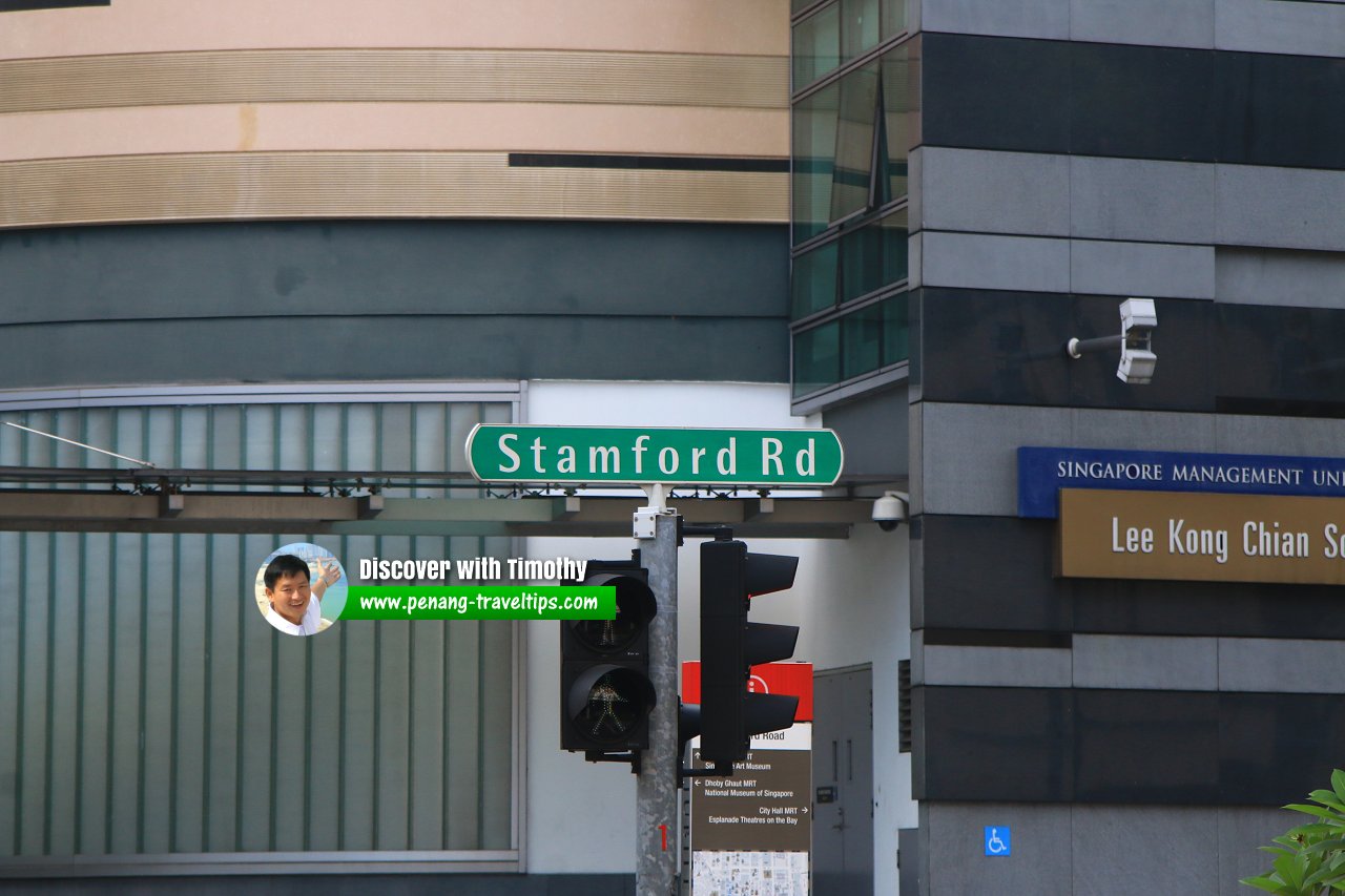
 Stamford Road roadsign (30 July 2017)
Stamford Road Singapore on Google Street View
Stamford Road Singapore (Jun 2021)List of the Streets in Singapore; Discover Singapore
 Copyright © 2003-2025 Timothy Tye. All Rights Reserved.
Copyright © 2003-2025 Timothy Tye. All Rights Reserved.

 Go Back