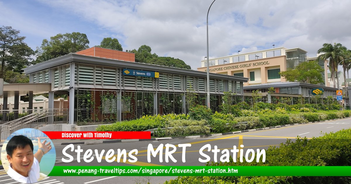
 Stevens MRT Station, Singapore
ZKang123, CC BY-SA 4.0, via Wikimedia Commons
Stevens MRT Station (GPS: 1.32008, 103.8259; DT10/TE11) is an underground station of the Singapore MRT, at the boundary between Tanglin and Novena, Singapore. Located on Stevens Road, it began operations on 27 December, 2015, when Stage 2 of the Downtown Line went into service. The Stevens MRT Station is located between the Botanic Gardens MRT Station in the west and the Newton MRT Station in the southeast. It is planned to be a future interchange station when the Thomson-East Coast MRT Line is built to pass through it, between the Mount Pleasant MRT Station and Napier MRT Station.
Stevens MRT Station is  on the Map of Tanglin, Singapore
Sights and residential properties in the vicinity
- Jaya Tower (GPS: 1.32032, 103.82399, 400m away)
- Malcolm Park (500m away)
- Masjid Ba'alwie (500m away)
- Raffles House @ Robin Close (140m away)
- Raffles Town Club (600m away)
- Singapore Chinese Girls' School (400m away)
- The Chatelet (700m away)
- The Equatorial (GPS: 1.32027, 103.82485, 350m away)
- The Legacy (GPS: 1.32104, 103.82264, 550m away)
Stevens MRT Station is  on the Map of Singapore MRT
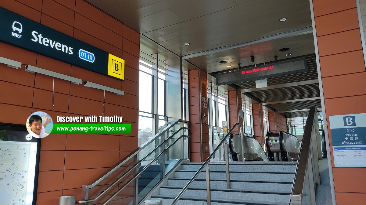
 Entrance B at Stevens MRT Station, Singapore
zhenkang, CC BY-SA 4.0, via Wikimedia Commons
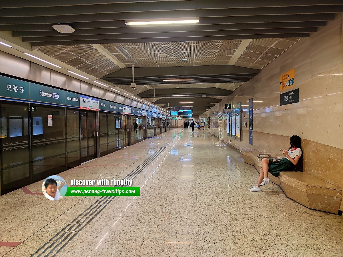
 Platform level at Stevens MRT Station, Singapore
ZKang123, CC BY-SA 4.0, via Wikimedia Commons
List of Singapore MRT Stations; Singapore MRT Lines; Singapore MRT; Discover Singapore
 Explaining Singapore YouTube Channel
 Streets of Singapore and Map of Singapore Streets
 Postal Districts of Singapore and Map of Singapore Postal Districts
 Planning Areas of Singapore and Map of Singapore Planning Areas

Copyright © 2003-2025 Timothy Tye. All Rights Reserved.

 Go Back