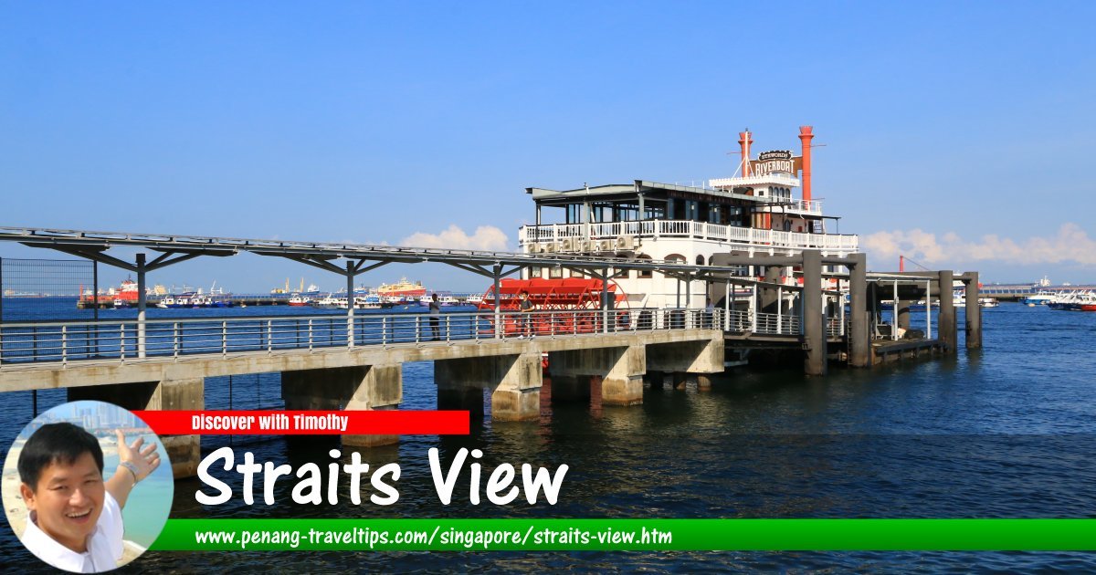
 Straits View, Singapore (29 July 2017)
Straits View (GPS: 1.27289, 103.86272) is the name of a road and newly created planning area in Singapore. Straits View (road) connects with Marina Boulevard and Park Street. It is intersected by Central Boulevard.
Map of Straits View, Singapore
MRT stations in Straits View
- Marina South MRT Station (GPS: 1.27418, 103.86324)

- Marina South Pier MRT Station (GPS: 1.27128, 103.86374)

Sights along Straits View
- Marina Bay Financial Centre (GPS: 1.27967, 103.85429)

- Marina One (GPS: 1.27735, 103.85291)

- Marina South Pier (GPS: 1.27094, 103.86322)

- Marina South Pier MRT Station (GPS: 1.27128, 103.86374)

The Straits View Planning Area will eventually be separated out as a new planning area within the New Downtown. The area is located to the south of Marina South. Apart from the Singapore Island Cruise & Ferry Terminal, there is still little development in the area.
A major infrastructure development at Straits View is the construction of the Marina Coastal Expressway. Part of this expressway will be underground as it passes through Straits View to emerge at ground level towards the interchange with East Coast Parkway, which will also be modified to ground level, to enable the extension of the Central Business District south.
Straits View (road) on Google Street View
Straits ViewList of Planning Areas in Singapore and Places in Singapore; Discover Singapore
 Copyright © 2003-2025 Timothy Tye. All Rights Reserved.
Copyright © 2003-2025 Timothy Tye. All Rights Reserved.

 Go Back