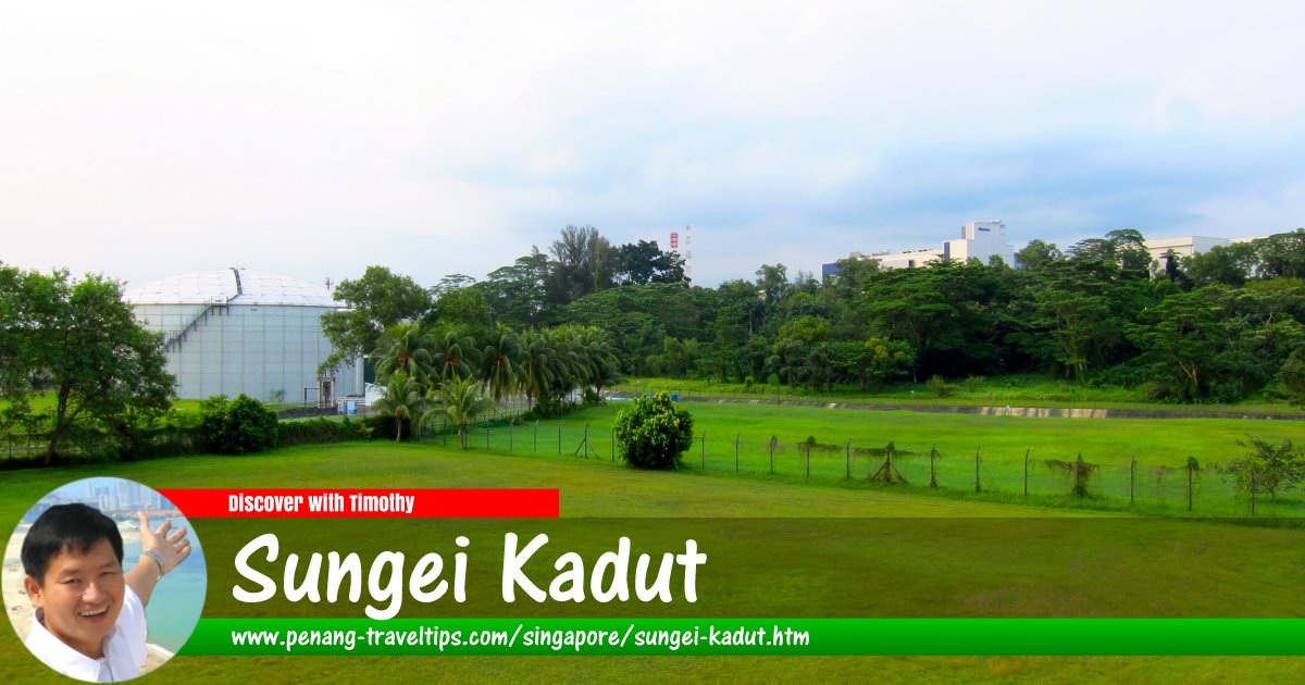
 Sungei Kadut Planning Area, Singapore
Qingwu Zhou (???), CC BY-SA 3.0, via Wikimedia Commons
Sungei Kadut is a planning area in North Region of Singapore. It is bordered by the Straits of Johor in the north, Woodlands and Mandai in the east, Central Water Catchment in the southeast, Bukit Panjang in the south, Choa Chu Kang in the southwest, and Western Water Catchment and Lim Chu Kang in the west. Woodlands Road and Kranji Road are among the main roads in the area.
The planning area of Sungei Kadut is divided into 5 neighbourhoods, called subzones, namely Gali Batu, Kranji, Pang Sua, Reservoir View and Turf Club.
Map of Sungei Kadut, Singapore
Sights in Sungei Kadut
- Kranji MRT Station (GPS: 1.42541, 103.76166)

List of Planning Areas in Singapore and Places in Singapore; Discover Singapore
 Copyright © 2003-2025 Timothy Tye. All Rights Reserved.
Copyright © 2003-2025 Timothy Tye. All Rights Reserved.

 Go Back