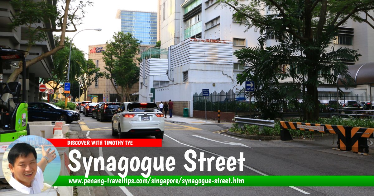
 Synagogue Street, Singapore (28 July 2017)
Synagogue Street is a minor street in downtown Singapore. Covering a distance of just one city block, it links South Canal Road to Pickering Street, where Church Street begins.
Synagogue Street was named after the first Jewish synagogue in Singapore. Occupying a shophouse, the synagogue which accommodates 30 to 40 worshippers, was built in 1841. Known as Maghain Aboth Synagogue, it operated there for 37 years before it relocated to Waterloo Street, in 1878, and remained there to this day.
The Central Police Station of Singapore used to be located on South Bridge Road (where One George Street is situated today). For that reason, Synagogue Street was known in Hokkien as Po3lay3 Au33 Te33-Jee33 Kay1 ("the second street from the police station").
Map of Synagogue Street, Singapore
Sights along Synagogue Street
- OCBC Centre (GPS: 1.28543, 103.84931)

- Pickering Operations Complex (GPS: 1.28529, 103.84821)

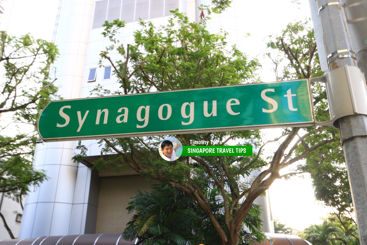
 Synagogue Street roadsign (28 July 2017)
Synagogue Street Singapore on Google Street View
Synagogue Street Singapore (Dec 2022)References
- Singapore Street Names - A Study of Toponymics by Victor R Savage and Brenda S.A. Yeoh (2013), ISBN 978-981-4408-35-6
List of the Streets in Singapore; Discover Singapore
 Copyright © 2003-2025 Timothy Tye. All Rights Reserved.
Copyright © 2003-2025 Timothy Tye. All Rights Reserved.

 Go Back