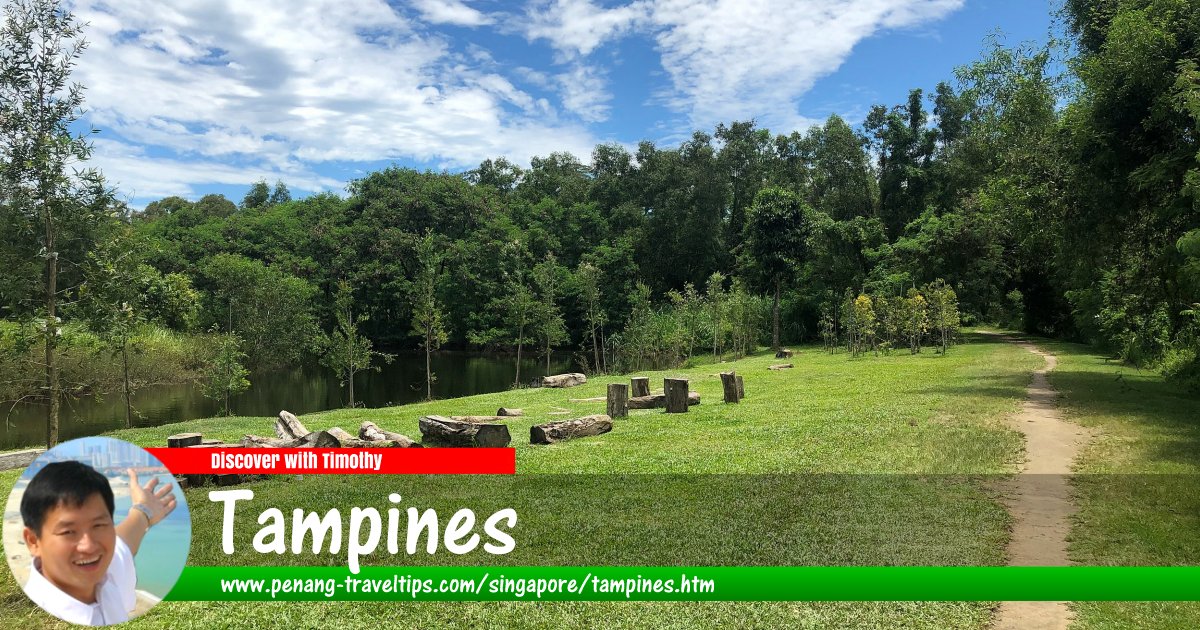
 Forest trail at Tampines, Singapore
Wzhkevin, CC BY-SA 4.0, via Wikimedia Commons
Tampines
 (GPS: 1.34959, 103.95678: Pronounce tɛm-pə-nis) is the largest residential township in Singapore. The area was developed by the Housing and Development Board of Singapore since the 1970's. Tampines is bordered by Paris Ris in the north, Changi in the east, Bedok in the southwest, Paya Lebar in the west and the Straits of Singapore in the south.
Tampines is located in Singapore Postal District 18.
Today Tampines is a densely populated area with over 200,000 people staying in 52,000 HDB flats. The area is divided into neighbourhoods, called subzones. There are 5 in total, and they are called Simei, Tampines East, Tampines North, Tampines West and Xilin.
The name Tampines goes back to the Franklin & Jackson map of 1828. It is named after Sungei Tampenus, which in turn got its name from the tampines trees (Sloctia siderozylon) which are said to be growing there. The oldest road in the area, Tampines Road, dates back to 1864, when it was a cart tract. At the turn of the 20th century, Tampines was a rubber plantation. Among the plantations here were Teo Tek Ho estate and Hun Yeang estate.
Map of Tampines, Singapore
MRT stations in Tampines, Singapore
- Tampines MRT Station (GPS: 1.3531, 103.94523)

- Tampines East MRT Station (GPS: 1.35681, 103.95574)

- Tampines North MRT Station (GPS: 1.37524, 103.93233)

- Tampines West MRT Station (GPS: 1.3531, 103.94523)

- Upper Changi MRT Station (GPS: 1.34111, 103.96154)

Apartments, Condominiums and HDB Flats in Tampines, Singapore
- Parktown Residences (GPS: 1.36717, 103.93628) Tampines Ave 11, S 520610; P: +65 8847 9435

Shopping malls in Tampines, Singapore
- Tampines Mall (GPS: 1.35249, 103.94471)

Transport hubs in Tampines, Singapore
- Tampines Bus Interchange (GPS: 1.35371, 103.9442)

Amenities in Tampines
Retail premises in Tampines include Tampines Mall, Century Square and Tampines 1. Court and Giant have outlets here. IKEA opened its second Singapore outlet here in November, 2006.Schools in Tampines include Changkat Primary School, Chongzheng Primary School, East Spring Primary School, East View Primary School, Gongshang Primary School, Griffiths Primary School, Jungyuan Primary School, Poi Ching Primary School, Qiaonan Primary School, Saint Hilda's Primary School, Tampines North Primary School, Tampines Primary School, Changkat Changi Secondary School, Dunman Secondary School, East Spring Secondary School, East View Secondary School, Junyuan Secondary School, Ngee Ann Secondary School, Pasir Ris Secondary School, St Hilda's Secondary School, Tampines Secondary School, ITE College Central, Tampines Junior College and Temasek Polytechnic. Tampines Stadium and Tampines Swimming Comples are also located in the township.
Places of worship in Tampines include Church of the Holy Trinity, Chapel of Christ the Redeemer, Lighthouse Evangelism, Darul Ghufran Mosque, Tian Kong Temple and Hiap Tien Keng Temple.
Getting there
Nearest MRT station is the Tampines MRT Station (EW2) on the East-West Line.List of Planning Areas in Singapore and Places in Singapore; Discover Singapore
 Copyright © 2003-2025 Timothy Tye. All Rights Reserved.
Copyright © 2003-2025 Timothy Tye. All Rights Reserved.

 , Singapore
 Go Back