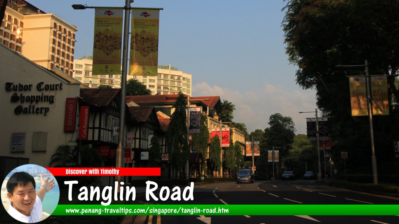
 Tanglin Road, Singapore (1 August 2017)
Tanglin Road is the road in Singapore. Running through the Tanglin area, it joins to the main branch of Orchard Road from the west. Located in Singapore Postal District 10, this major road starts at the intersection with Alexandra Road, where it continues as Tiong Bahru Road. From there, it heads north to end at Orchard Road, at the junction with Orange Grove Road. In between, it passes the intersection with Napier Road and Grange Road.
Along its way, Tanglin Road forms junctions with Margaret Drive, Kay Siang Road, Phoenix Park, Ridley Park, Tanglin Hill, Camp Road, Nassim Hill, St Martin's Drive, Seton Close and Nassim Road to the west, and with Tomlinson Road, Elis Road, Rochalie Drive, Chatsworth Avenue, Chatsworth Road, Jervois Road and Belvedere Close to the east. In addition, it also forms an intersection with Napier Road (to the west) and Grange Road (to the east).
Tanglin Road was named after the Tanglin area, which comes from the Chinese name Twa Tanglin, meaning "great eastern peaks". This is in reference to the numerous hillocks within the area, which today are in the Orchard Road area, among them Emerald Hill, Mount Elizabeth, Nassim Hill, Goodwood Hill and Cairnhill. Local lawyer William Napier owned 27 hectares of hill land here. He had a house here which he also named Tanglin.
The Tanglin area was settled by Teochew Chinese following Raffles land allotment in 1822. They were farmers growing betel leaf, pepper, nutmeg and gambier. In their wake came Europeans who also went into the plantation business growing spices.
There was a landmark post office in the area which has since been replaced with a modern one. The Tanglin Police Station, also gone today, gave the Hokkien names for Paterson Road and Scotts Road.
There is also a Jalan Tanglin in Kuala Lumpur, but I am not sure whether there is a connection between the two roads.
Map of Tanglin Road, Singapore
Sights along Tanglin Road
- 1. Nassim Road (GPS: 1.30659, 103.82634)

- British High Commission (GPS: 1.30391, 103.82165)

- Embassy of China (GPS: 1.3031, 103.82078)

- Embassy of Myanmar (GPS: 1.30557, 103.82398)

- Grace Assembly of God (GPS: 1.29437, 103.81638)

- Grange Residences (GPS: 1.30413, 103.82278)

- High Commission of Brunei Darussalam (GPS: 1.29732, 103.81701)

- Masjid Jamae Queenstown (GPS: 1.29297, 103.81549)

- Orchard Parade Hotel (GPS: 1.30685, 103.82766)

- Phoenix Park Office Campus (GPS: 1.29769, 103.81667)

- Singapore Post, Tanglin Branch (GPS: 1.30559, 103.82298)

- St Regis Singapore (GPS: 1.3057, 103.82595)

- Tanglin Hill Condominium (GPS: 1.30172, 103.818)

- Tanglin Hill Meadows (GPS: 1.30109, 103.81755)

- Tanglin Mall (GPS: 1.30492, 103.8238)

- Tanglin Park (GPS: 1.29965, 103.81621)

- Tanglin Place (GPS: 1.30537, 103.82507)

- Tanglin Regency (GPS: 1.29214, 103.81605)

- Tanglin Shopping Centre (GPS: 1.30639, 103.82685)

- The Salvation Army Singapore (GPS: 1.29435, 103.81554)

- Tudor Court (GPS: 1.30518, 103.82448)

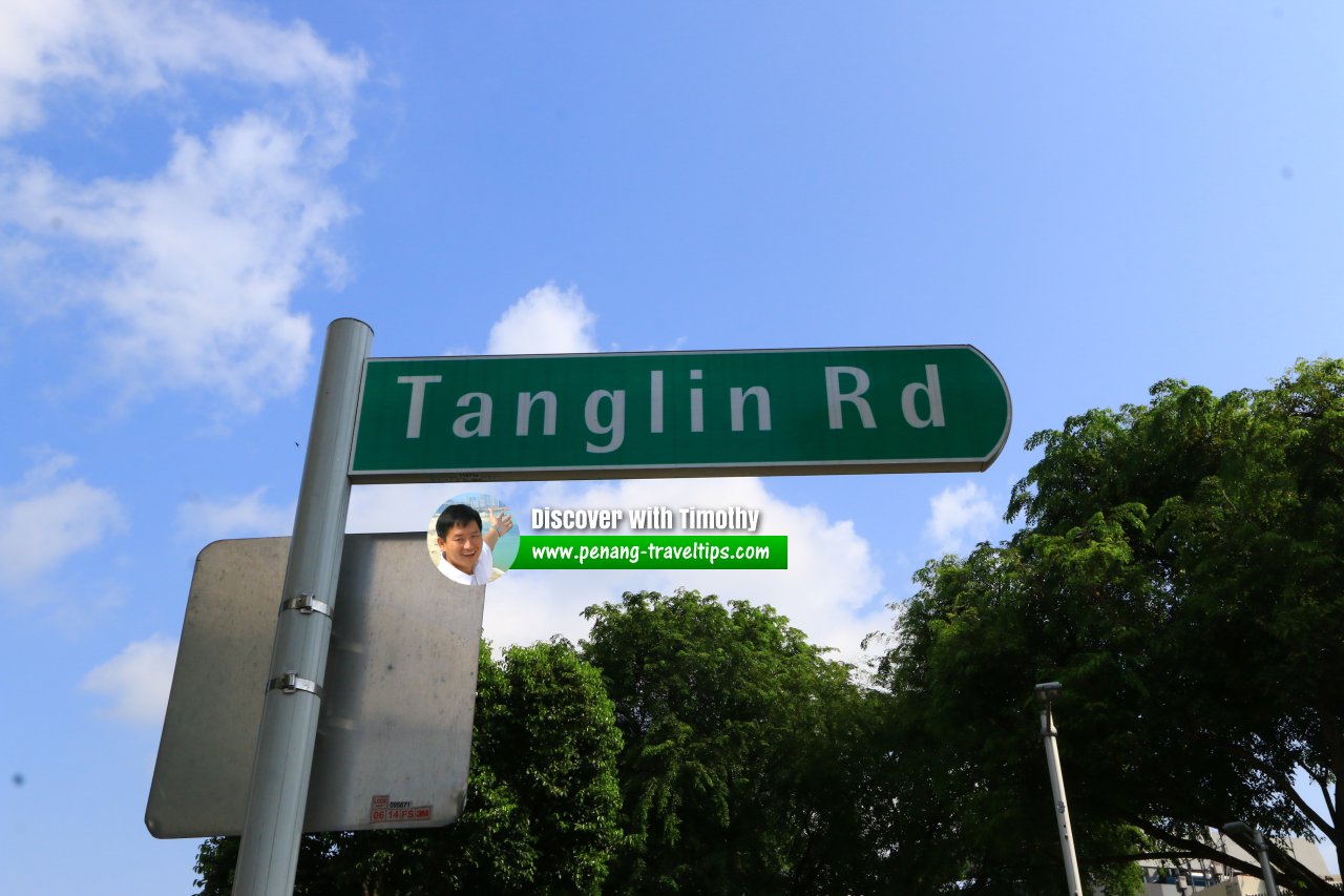
 Tanglin Road roadsign (2 August 2017)
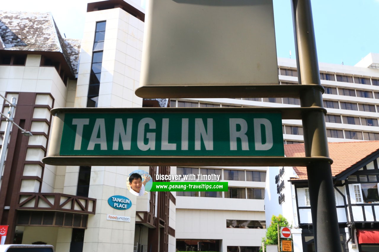
 Tanglin Road roadsign (2 August 2017)
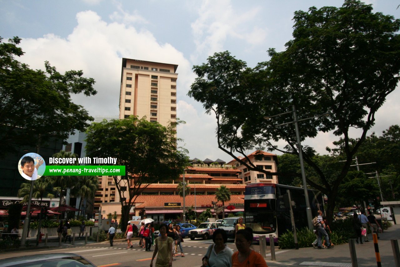
 Orchard Parade Hotel marks the end of Tanglin Road and beginning of Orchard Road (13 September, 2010)
Tanglin Road Singapore on Google Street View
Tanglin Road Singapore (Dec 2022)List of the Streets in Singapore; Discover Singapore
 Copyright © 2003-2025 Timothy Tye. All Rights Reserved.
Copyright © 2003-2025 Timothy Tye. All Rights Reserved.

 Go Back