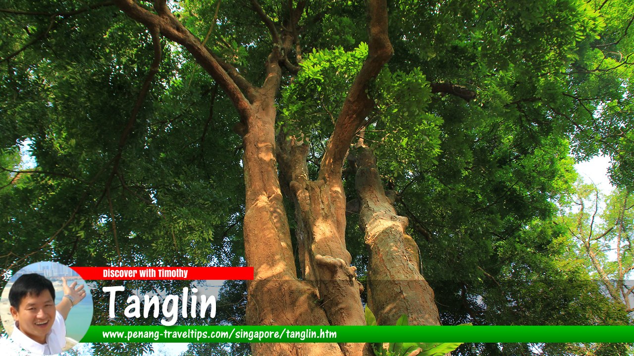
 Purple Millettia tree at the Singapore Botanic Gardens, a UNESCO-recognised World Heritage Site in Tanglin, Singapore (9 July 2011)
Tanglin (Simplified Chinese: 东陵, Traditional Chinese: 東陵, Pinyin: Dōnglíng) is a place (or by the Singapore government's administrative nomenclature, a "planning area") in Singapore. Located in the Central Region, it covers 20.89 square kilometers. Tanglin is bordered by Novena in the north, Newton, Orchard and River Valley in the east, the Singapore River in the southeast, Bukit Merah in the south, Queenstown in the southwest, and Bukit Timah in the west. The planning area of Tanglin is further divided into 4 neighbourhoods, called subzones, namely Chatsworth, Nassim, Ridout and Tyersall.
Map of Tanglin, Singapore
MRT Stations in Tanglin
- Botanic Gardens MRT Station (GPS: 1.3224, 103.81505)

- Farrer Road MRT Station (GPS: 1.31725, 103.80749)

- Stevens MRT Station (GPS: 1.32008, 103.8259)

Sights in Tanglin
- Mercure Singapore On Stevens (GPS: 1.31383, 103.82855)

- Novotel Singapore On Stevens (GPS: 1.31383, 103.82855)

- Singapore Botanic Gardens (GPS Tanglin Gate: 1.3079, 103.81855, Bukit Timah Gate: 1.32267, 103.81473)

- St George's Church (GPS: 1.30481, 103.81515)

Residential Properties in Tanglin
- 10 Tanglin (GPS: 1.31011, 103.83075)

- Jaya Tower (GPS: 1.32032, 103.82399)

- One Balmoral (GPS: 1.31359, 103.82992)

- The Equatorial (GPS: 1.32027, 103.82485)

- The Legacy (GPS: 1.32104, 103.82264)

- The Orange Grove (GPS: 1.31402, 103.82604)

- White House Residences (GPS: 1.31779, 103.82525)

Roads in Tanglin
- Anderson Road
- Balmoral Park
- Balmoral Road
- Bukit Timah Road
- Cluny Park Road
- Dalvey Estate
- Evans Road
- Fernhill Road
- Holland Road
- Lewis Road
- Kellock Road
- Margoliouth Road
- Napier Road
- Nassim Hill
- Orange Grove Road
- River Valley Road
- St Martin's Drive
- Stevens Close
- Stevens Road
- Tanglin Road
- Walshe Road
- White House Road
List of Planning Areas in Singapore and Places in Singapore; Discover Singapore
 Copyright © 2003-2025 Timothy Tye. All Rights Reserved.
Copyright © 2003-2025 Timothy Tye. All Rights Reserved.

 Go Back