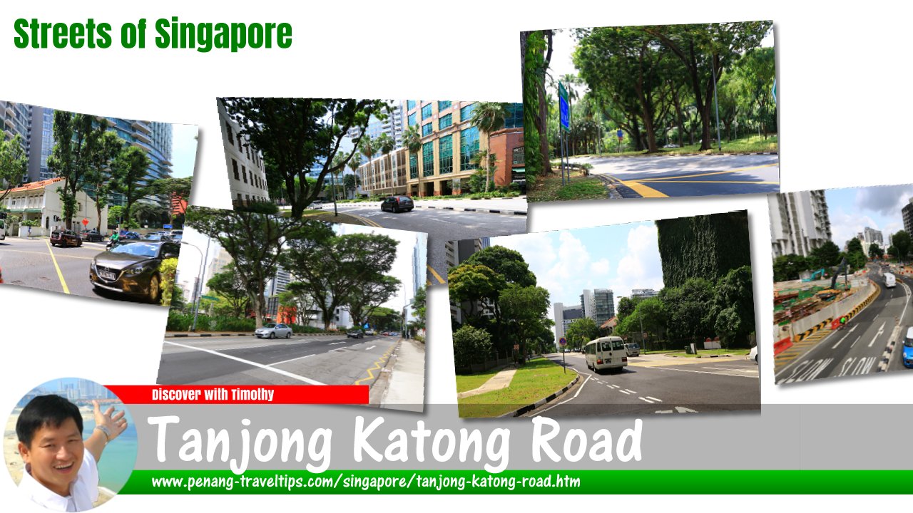
 Tanjong Katong Road, Singapore
Tanjong Katong Road is a major road in Singapore. Running in a roughly north-south direction, it passes through Geylang and Marine Parade planning areas. The road starts at Sims Avenue in the north and ends at Mountbatten Road, where it continues as Tanjong Katong Road South. It is also intersected by Dunman Road. Minor roads branching from Tanjong Katong Road include Butterworth Lane, Sandy Lane, Ipoh Lane, Green Lane, Thiam Siew Avenue, Rose Lane, Dunman Lane, Swanage Road, Wareham Road, Poole Road, Parkstone Road, Goodman Road, Branksome Road, Wilkinson Road and Bornemouth Road.
Tanjong Katong is located in Singapore Postal District 15.
Among the sights along Tanjong Katong Road include SMRT Corporation, Tanjong Katong Complex, City Plaza, KINEX, Chinese Development Assistance Council (CDAC), Orion Preschool (Tanjong Katong), ESSO Tanjong Katong, Shell Tanjong Katong, Tanjong Katong Girls' School, Caltex Tanjong Katong, Tanjong Katong Village Food Court, Canadian International School, Singapore Post Katong Branch, Song Lang Garden and Singapore Telecommunications. According to Singapore Street Names1, Tanjong Katong Road marks the eastern extent of the original British settlement of Singapore, as leased by Raffles in 1819.
Map of Tanjong Katong Road, Singapore
Sights along Tanjong Katong Road
- City Plaza (GPS: 1.31481, 103.89333)

- KINEX (GPS: 1.31471, 103.89473)

- Tanjong Katong Complex (GPS: 1.31644, 103.89436)

Tanjong Katong Road Singapore on Google Street View
Tanjong Katong Road Singapore (Jan 2023)References
- Singapore Street Names - A Study of Toponymics by Victor R Savage and Brenda S.A. Yeoh (2013), ISBN 978-981-4408-35-6
List of the Streets in Singapore; Discover Singapore
 Copyright © 2003-2025 Timothy Tye. All Rights Reserved.
Copyright © 2003-2025 Timothy Tye. All Rights Reserved.

 Go Back