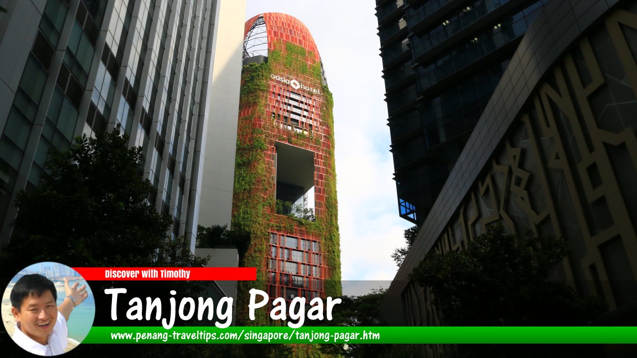
 Tanjong Pagar, Singapore (27 July 2017)
Tanjong Pagar is a neighbourhood and subzone of the Downtown Core of Singapore. The subzone, covering 0/146 sq km) is bounded by Peck Seah Street, Maxwell Road, Shenton Way, Palmer Road, Enggor Street, Tras Street and Gopeng Street, and includes within its area Anson Road, Parsi Road, Mistri Road, Prince Edward Road, Choon Guan Street and Wallich Street. Rather confusingly, Tanjong Pagar Road is not within the Tanjong Pagar subzone, but rather is in the neighbouring Chinatown subzone.
Tanjong Pagar is located in Singapore Postal District 02. Tanjong Pagar MRT Station is the only MRT station serving this subzone.
Map of Tanjong Pagar, Singapore
Streets in Tanjong Pagar
Tanjong Pagar Singapore on Google Street View
Tanjong Pagar, Singapore (Apr 2022)List of Planning Areas in Singapore and Places in Singapore; Discover Singapore
 Copyright © 2003-2025 Timothy Tye. All Rights Reserved.
Copyright © 2003-2025 Timothy Tye. All Rights Reserved.

 Go Back