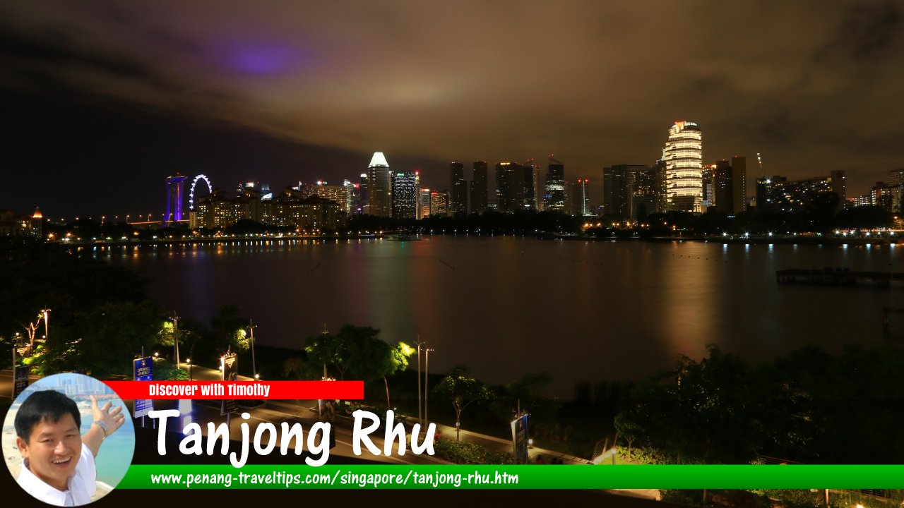
 View from the National Stadium of Singapore towards the Downtown Core. (30 July 2017)
Tanjong Rhu is a subzone in the planning area of Kallang, Singapore. It is bounded by the Nicoll Highway, Mountbatten Road, Fort Road, East Coast Parkway and the Kallang Basin, which separates it from Crawford.
Tanjong Rhu is located in Singapore Postal District 15.
The Tanjong Rhu subzone was named after the promontory that still bears that name today. The area was once a Orang Laut or sea gypsies, and may have been inhabited as early as the 19th century. The area has lost its erstwhile appearance and is today primarily residential. Successive land reclamation has changed the coastline of the Tanjong Rhu promontory, to now include the reclaimed land now know as Marina East.
The Geylang River splits the Tanjong Rhu subzone into two parks. The southern portion is Tanjong Rhu proper, served by Tanjong Rhu Road. The northern portion is occupied by the Singapore Sports Hub, which includes the National Stadium.
The Tanjong Rhu subzone is served by the Stadium MRT Station (CC6). The Mountbatten MRT Station (CC7) is located at the border between Tanjong Rhu and Geylang. Both stations are served by trains of the Circle Line.
Map of Tanjong Rhu, Singapore
Sights in Tanjong Rhu
- National Stadium (GPS: 1.30432, 103.87433)

List of Planning Areas in Singapore and Places in Singapore; Discover Singapore
 Copyright © 2003-2025 Timothy Tye. All Rights Reserved.
Copyright © 2003-2025 Timothy Tye. All Rights Reserved.

 Go Back