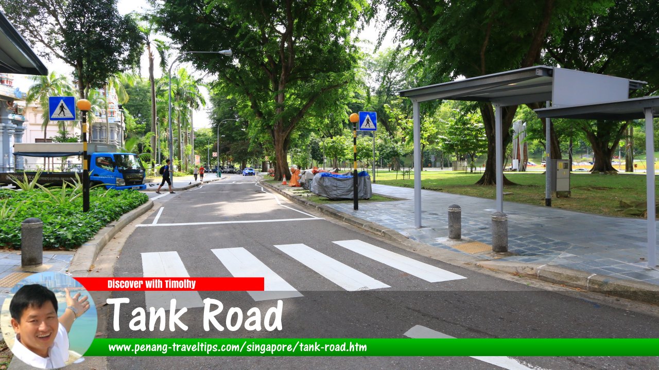
 Tank Road, Singapore (30 July 2017)
Tank Road is a minor road in the Museum Planning Area of downtown Singapore. It connects on one end to River Valley Road. The other end has been reduced to a footpath near the Central Expressway.
The book Singapore Street Names threw up a number possibilities over how Tank Road got its name. One possibility is that it was named after a reservoir or tank located at the rear side of Fort Canning. The said reservoir is fed by a spring, and is used by the royal concubines of the old Kingdom of Temasek for bathing.
A different explanation pointed to a pool or tank that was dug at the foot of Fort Canning for use of the soldiers stationed there. This tank was also fed by a spring. Water pipes conduct the water from here to another tank near Coleman's Bridge for use by boats on the river. That tank was filled up in 1854 when H.A.K. Whampoa constructed his ice house there.
Map of Tank Road, Singapore
Sights along Tank Road
- Church of the Sacred Heart (GPS: 1.296, 103.84361)

- Sri Thendayuthapani Temple (GPS: 1.29431, 103.84305)

- Teochew Building (GPS: 1.29543, 103.84343)

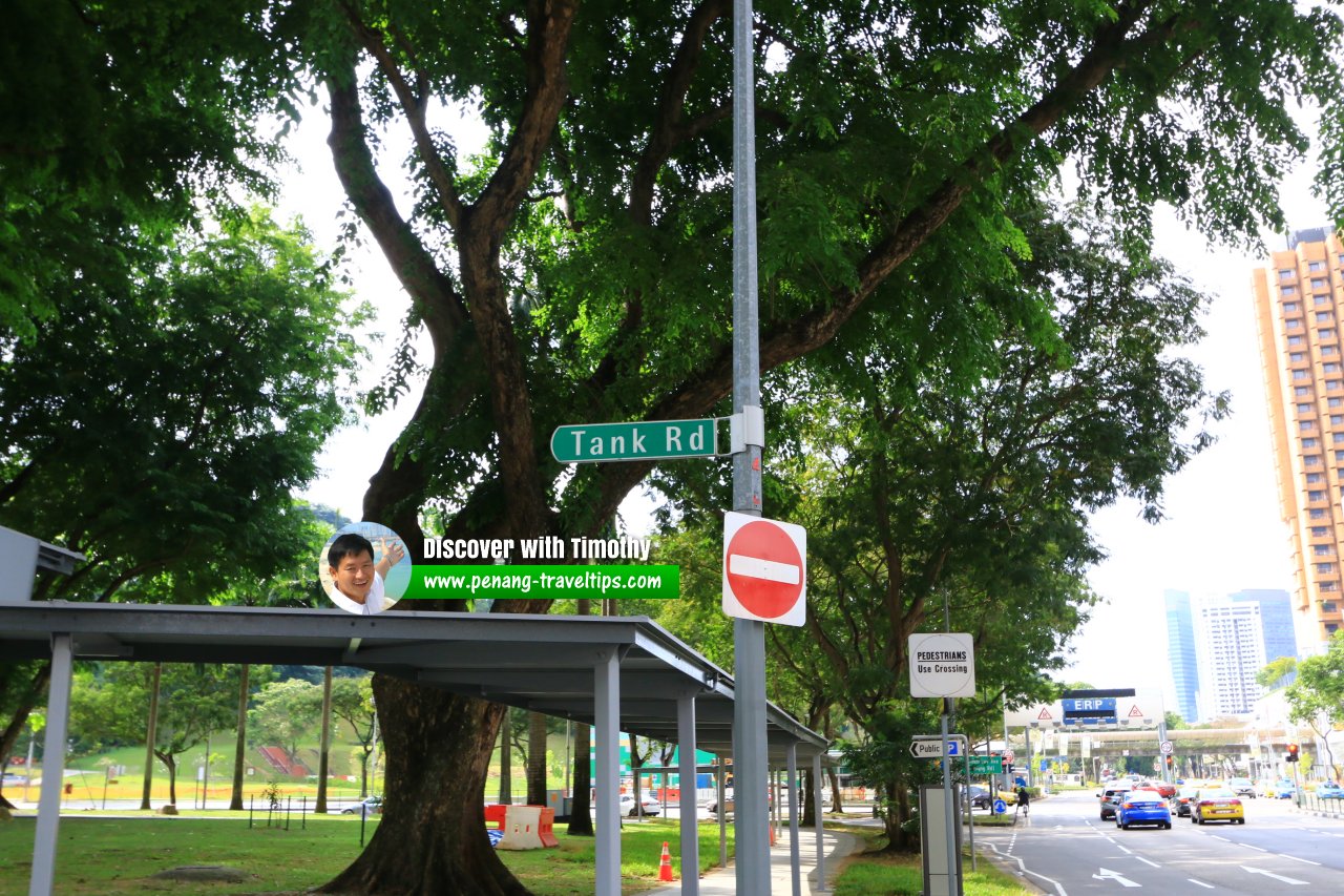
 Tank Road roadsign at the junction with River Valley Road (30 July 2017)
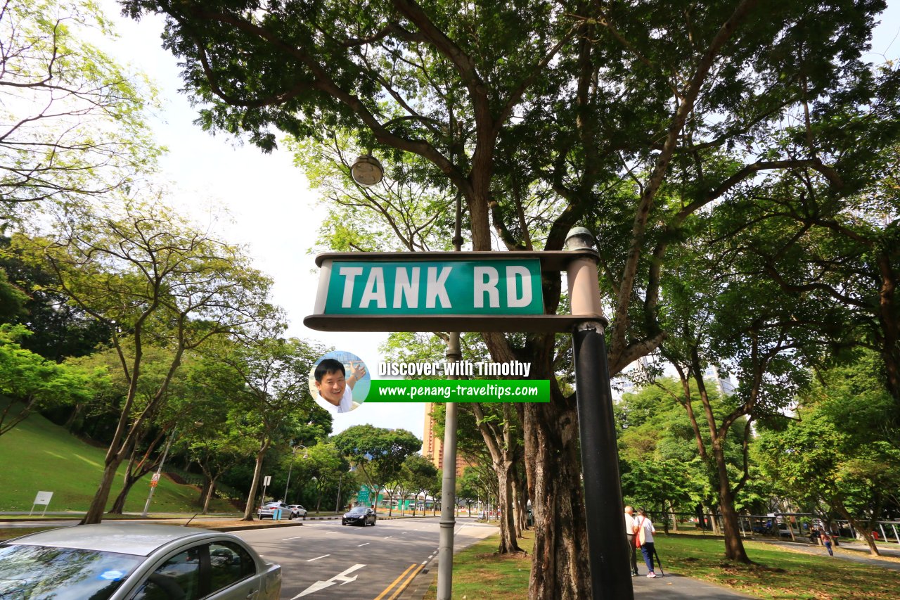
 Tank Road roadsign (30 July 2017)
Tank Road Singapore on Google Street View
Tank Road Singapore (Feb 2022)References
- Singapore Street Names - A Study of Toponymics by Victor R Savage and Brenda S.A. Yeoh (2013), ISBN 978-981-4408-35-6
List of the Streets in Singapore; Discover Singapore
 Copyright © 2003-2025 Timothy Tye. All Rights Reserved.
Copyright © 2003-2025 Timothy Tye. All Rights Reserved.

 Go Back